Near Elba in Winona County, Minnesota — The American Midwest (Upper Plains)
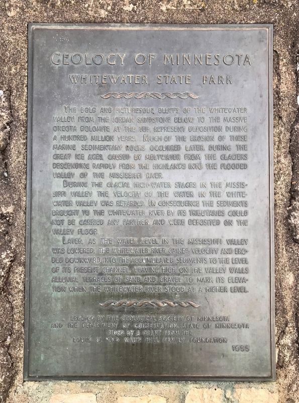
Geology of Minnesota
Whitewater State Park
During the glacier high-water stages of the Mississippi Valley the velocity of the water in the Whitewater Valley was retarded. In consequence the sediments brought to the Whitewater River by its tributaries could not be carried any farther, and were deposited on the valley floor.
Later, as the water level in the Mississippi Valley was lowered, the Whitewater River gained velocity and eroded downward into the accumulated sediments to the level of its present channel, leaving high on the valley walls alluvial terraces of sand and gravel to mark its elevation when the Whitewater River stood at a higher level.
Erected 1955 by the Geological Society of Minnesota and the Department of Conservation, State of Minnesota aided by a grant from the Louis W. and Maud Hill Family Foundation.
Topics and series. This historical marker is listed in this topic list: Natural Features . In addition, it is included in the Minnesota: Geological Society of Minnesota series list.
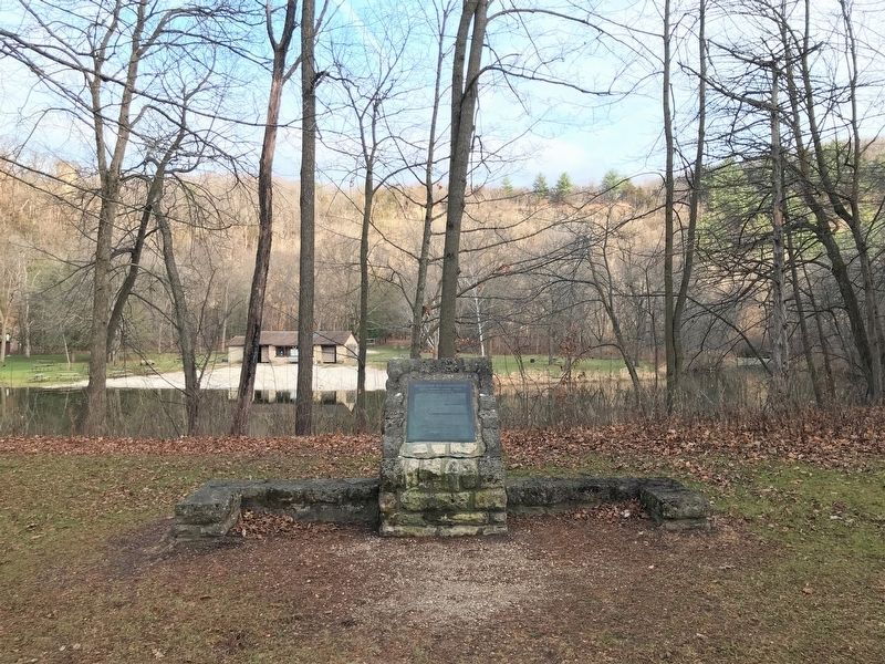
Location. 44° 3.207′ N, 92° 2.705′ W. Marker is near Elba, Minnesota, in Winona County. Marker can be reached from State Highway 74, 1.9 miles north of Quincy Drive, on the right when traveling north. Located in Whitewater State Park near the North Picnic Area. Touch for map. Marker is at or near this postal address: 19041 Highway 74, Saint Charles MN 55972, United States of America. Touch for directions.
Other nearby markers. At least 1 other marker is within 13 miles of this marker, measured as the crow flies. The Geology of Southeastern Minnesota (approx. 12.8 miles away).
Credits. This page was last revised on January 4, 2023. It was originally submitted on January 3, 2023. This page has been viewed 69 times since then and 8 times this year. Photos: 1, 2. submitted on January 3, 2023.

