Sulphur Springs in DeKalb County, Alabama — The American South (East South Central)
POW-MIA Memorial
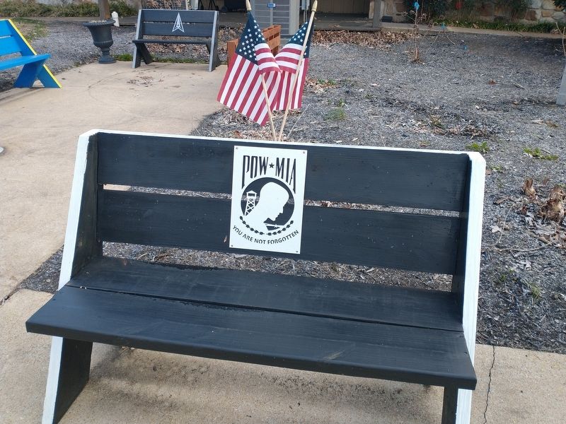
Photographed by Craig Doda, December 23, 2022
1. POW-MIA Marker
Topics. This memorial is listed in this topic list: Military.
Location. 34° 42.46′ N, 85° 33.634′ W. Memorial is in Sulphur Springs, Alabama, in DeKalb County. It can be reached from Interstate 59 one mile north of County Road 140, on the right when traveling south. Touch for map. Memorial is in this post office area: Valley Head AL 35989, United States of America. Touch for directions.

Regionally, this memorial is in North Alabama. It is also in the American South, specifically in the Deep South, in Appalachia, and specifically in Southern Appalachia. Globally, it is in North America, a Gulf of Mexico state, the Western Hemisphere, the Western World, and the Anglosphere. Historically, it finds itself in what was once the original Cherokee Nation, the territory of the Mississippian Culture, one of the Confederate States of America, and the Antebellum South.
Other nearby markers. At least 8 other markers are within 9 miles of this marker, measured as the crow flies: Veterans Memorial (here, next to this marker); Wills Town (within shouting
this page online
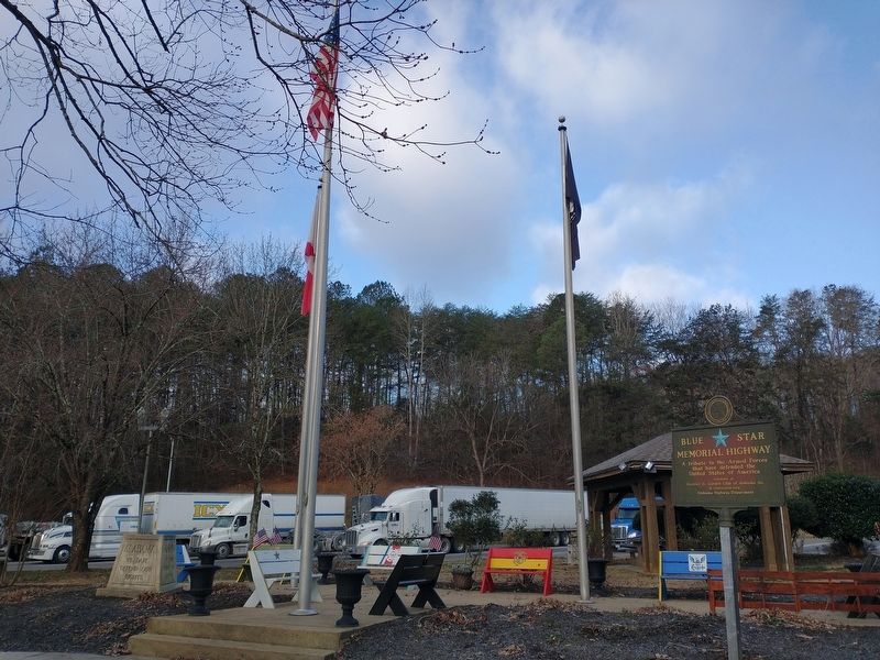
Photographed by Craig Doda, December 23, 2022
2. POW-MIA Marker
Credits. This page was last revised on January 4, 2023. It was originally submitted on January 3, 2023, by Craig Doda of Napoleon, Ohio. This page has been viewed 288 times since then and 13 times this year. Photos: 1, 2. submitted on January 3, 2023, by Craig Doda of Napoleon, Ohio. • Devry Becker Jones was the editor who published this page.
