Estell Manor in Atlantic County, New Jersey — The American Northeast (Mid-Atlantic)
The Estellville Methodist Church
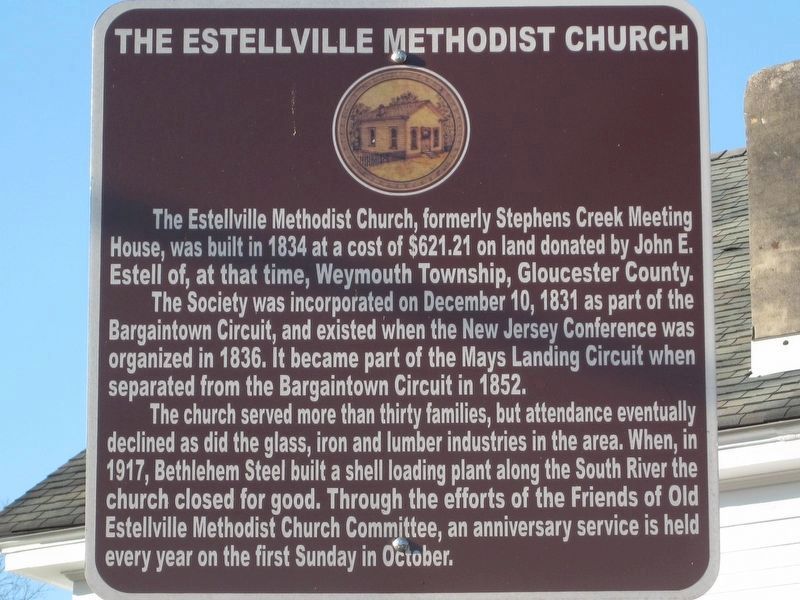
Photographed by Donald B. Caselli (Barry), November 24, 2011
1. The Estellville Methodist Church Marker
The Society was incorporated on December 10, 1831 as part of the Bargaintown Circuit, and existed when the New Jersey Conference was organized in 1836. It became part of the Mays Landing Circuit when separated from the Bargaintown Circuit in 1852.
The church served more than thirty families, but attendance eventually declined as did the glass, iron and lumber industries in the area. When, in 1917, Bethlehem Steel built a shell loading plant along the South River the church closed for good. Through the efforts of the Friends of Old Estellville Methodist Church Committee, an anniversary service is held every year on the first Sunday in October.
Topics. This historical marker is listed in this topic list: Religion & Religious Structures. A significant historical date for this entry is December 10, 1831.
Location. 39° 23.854′ N, 74° 44.867′ W. Marker is in Estell Manor, New Jersey, in Atlantic County. It is at the intersection of Walkers Forge
this page online

Regionally, this marker is in the American Northeast, in the Mid-Atlantic, and on the Eastern Seaboard. Globally, it is in the North Atlantic Region, North America, the Western Hemisphere, the Western World, and the Anglosphere. Historically, it finds itself in what was once New Netherland and also one of the original Thirteen Colonies.
Other nearby markers. At least 8 other markers are within walking distance of this marker: Belcoville 1917 (approx. 0.2 miles away); The Daniel Estell House (approx. 0.2 miles away); Ginkgo (approx. 0.3 miles away); Welcome to Atlantic County Park at Estell Manor! (approx. 0.3 miles away); Introduction (approx. 0.4 miles away); Estellville Glass Factory (approx. half a mile away); The Pot House (approx. half a mile away); The Flattening House (approx. 0.6 miles away). Touch for a list and map of all markers in Estell Manor.
Another marker is no longer nearby. The John Estell House (circa 1750) (was about 500 feet away,
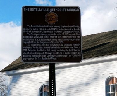
Photographed by Don Morfe, January 18, 2016
2. The Estellville Methodist Church Marker
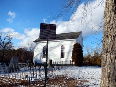
Photographed by Don Morfe, January 18, 2016
3. The Estellville Methodist Church Marker
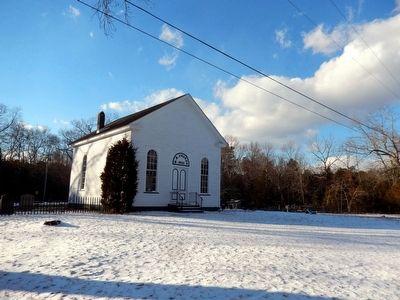
Photographed by Don Morfe, January 18, 2016
4. The Estellville Methodist Church Marker
Credits. This page was last revised on May 27, 2026. It was originally submitted on January 25, 2016, by Don Morfe of Baltimore, Maryland. This page has been viewed 858 times since then and 58 times this year. Last updated on January 4, 2023, by Carl Gordon Moore Jr. of North East, Maryland. Photos: 1. submitted on May 22, 2026, by Donald B. Caselli (Barry) of Hopewell, Virginia. 2, 3, 4. submitted on January 25, 2016, by Don Morfe of Baltimore, Maryland. • Michael Herrick was the editor who published this page.
