Near Paradise in Chippewa County, Michigan — The American Midwest (Great Lakes)
Emerson
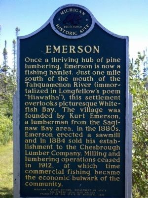
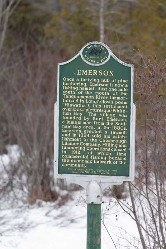
Once a thriving hub of pine lumbering, Emerson is now a fishing hamlet. Just one mile south of the mouth of the Tahquamenon River (immortalized in Longfellows poem “Hiawatha”), this settlement overlooks picturesque Whitefish Bay. The village was founded by Kurt Emerson, a lumberman from the Saginaw Bay area, in the 1880's. Emerson erected a sawmill and in 1884 sold his establishment to the Chesbrough Lumber Company. Milling and lumbering operations ceased in 1912, at which time commercial fishing became the economic bulwark of the community.
Erected 1980 by Michigan History Division, Department of State. (Marker Number 725.)
Topics and series. This historical marker is listed in these topic lists: Horticulture & Forestry • Industry & Commerce • Settlements & Settlers. In addition, it is included in the Michigan Historical Commission series list. A significant historical year for this entry is 1884.
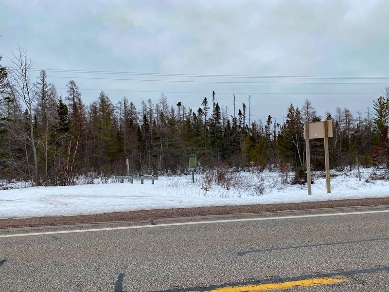
Location. 46° 33.181′ N, 85° 2.076′ W. Marker is near Paradise, Michigan, in Chippewa County. Marker is on State Highway 128 near West South River Road, on the right when traveling north. The marker is about three quarters of a mile south of the mouth of the Tahquamenon River. Touch for map. Marker is in this post office area: Paradise MI 49768, United States of America. Touch for directions.
Other nearby markers. At least 5 other markers are within 14 miles of this marker, measured as the crow flies. Whitefish Township (approx. 3.8 miles away); "Oil Lamp" Buoy (approx. 3.8 miles away); Anchor from the SS M.M. Drake (approx. 3.8 miles away); Donald "Bud" Monk (approx. 4 miles away); Post Office (approx. 14 miles away).
Credits. This page was last revised on January 4, 2023. It was originally submitted on July 13, 2011, by Curtis poor of Ft. Wayne, Indiana. This page has been viewed 607 times since then and 13 times this year. Last updated on January 4, 2023, by J.T. Lambrou of New Boston, Michigan. Photos: 1. submitted on July 13, 2011, by Curtis poor of Ft. Wayne, Indiana. 2, 3, 4. submitted on January 4, 2023, by J.T. Lambrou of New Boston, Michigan. • J. Makali Bruton was the editor who published this page.


