Sault Ste. Marie in Chippewa County, Michigan — The American Midwest (Great Lakes)
Lake Superior State College
Photographed by J.T. Lambrou, January 3, 2023
1. Lake Superior State College Marker
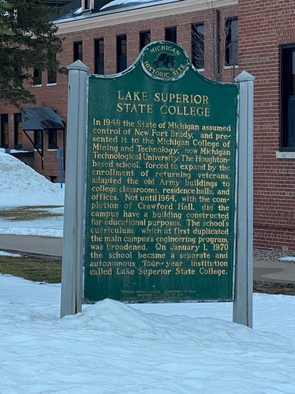
In 1946 the State of Michigan assumed control of New Fort Brady, and presented it to the Michigan College of Mining and Technology, now Michigan Technological University. The Houghton based school, forced to expand by the enrollment of returning veterans, adapted the old Army buildings to college classrooms, residence halls and offices. Not until 1964, with the completion of Crawford Hall, did the campus have a building constructed for educational purposes. The school's curriculum, which at first duplicated the main campus's engineering program was broadened. On January 1, 1970 the school became a separate and autonomous four-year institution called Lake Superior State College.
Erected 1976 by Michigan History Division, Department of State. (Marker Number L382.)
Topics and series. This historical marker is listed in this topic list: Education. In addition, it is included in the Michigan Historical Commission series list. A significant historical date for this entry is January 1, 1970.
Location. 46° 29.517′ N, 84° 21.774′ W. Marker is in Sault Ste. Marie, Michigan, in Chippewa County. It is on West Easterday Avenue 0.1 miles east
this page online

Regionally, this marker is on the Upper Peninsula. It is also in the American Midwest and on Lake Superior’s South Shore Region. Globally, it is in North America, in the Great North Woods, on the Great Lakes, in the Western Hemisphere, in the Western World, and in the Anglosphere. Historically, it finds itself in what was once the Viceroyalty of New France and also the Northwest Territory.
Other nearby markers. At least 8 other markers are within walking distance of this marker: Brady Hall (within shouting distance of this marker); The Alumni Anchor (about 400 feet away, measured in a direct line); Bahweting (about 400 feet away); The Michigan Meridian (about 400 feet away); Ontario Hall (about 600 feet away); Huron Hall (about 700 feet away); Laker Hall (approx. 0.2 miles away); East Hall (approx. 0.2 miles away). Touch for a list and map
Photographed by J.T. Lambrou, January 3, 2023
2. Lake Superior State College Marker
Photographed by John Garman, August 23, 2024
3. Lake Superior State College Marker
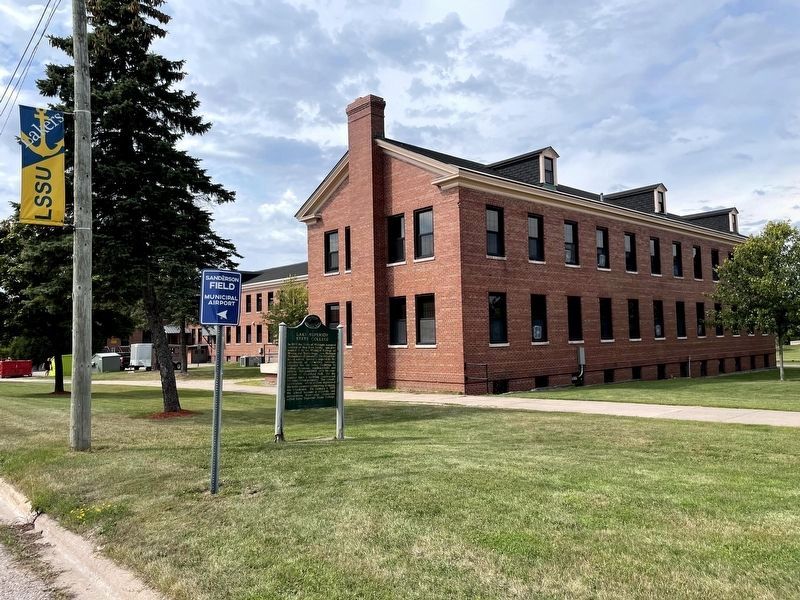
Brady Hall is shown in the background.
Credits. This page was last revised on September 7, 2024. It was originally submitted on January 4, 2023, by J.T. Lambrou of New Boston, Michigan. This page has been viewed 219 times since then and 23 times this year. Photos: 1, 2. submitted on January 4, 2023, by J.T. Lambrou of New Boston, Michigan. 3. submitted on September 1, 2024, by John Garman of Rochester Hills. • J. Makali Bruton was the editor who published this page.
