Sault Ste. Marie in Chippewa County, Michigan — The American Midwest (Great Lakes)
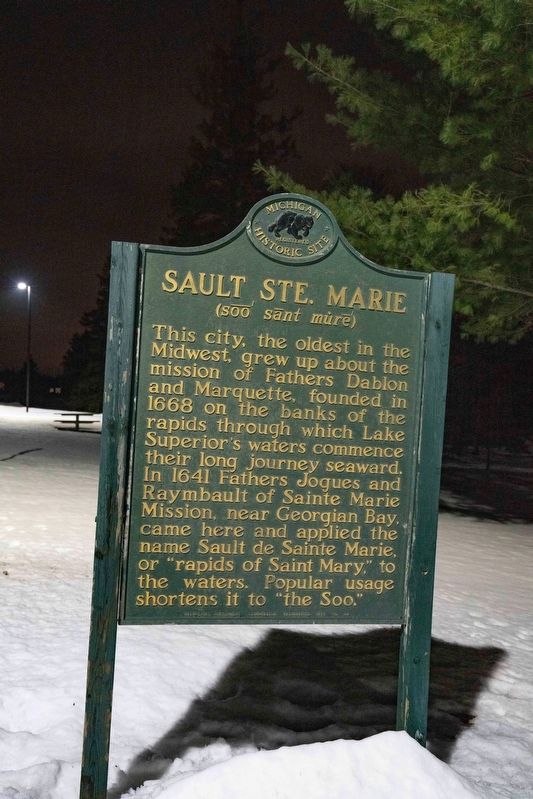
Sault Ste. Marie
This city, the oldest in the Midwest, grew up about the mission of Fathers Dablon and Marquette, founded in 1668 on the banks of the rapids through which Lake Superior’s waters commence their long journey seaward. In 1641 Fathers Jogues and Raymbault of Sainte Marie Mission, near Georgian Bay, came here and applied the name Sault de Sainte Marie, or “rapids of Saint Mary,” to the waters. Popular usage shortens it to “the Soo.”
Erected 1957 by Michigan Historical Commission. (Marker Number S29.)
Topics and series. This historical marker is listed in these topic lists: Settlements & Settlers • Waterways & Vessels. In addition, it is included in the Michigan Historical Commission series list. A significant historical year for this entry is 1668.
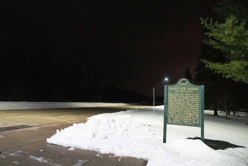
Location. 46° 25.479′ N, 84° 23.494′ W. Marker is in Sault Ste. Marie, Michigan, in Chippewa County. Marker is on Tuskegee Airmen Memorial Highway (Interstate 75) when traveling north. The marker is in a rest area on northbound I-75 4 miles north of Exit 386. Touch for map. Marker is at or near this postal address: I-75, Sault Sainte Marie MI 49783, United States of America. Touch for directions.
Other nearby markers. At least 8 other markers are within 5 miles of this marker, measured as the crow flies. James Norris Physical Education Center (approx. 4.7 miles away); Lake Superior State College (approx. 4.9 miles away); The Alumni Anchor (approx. 4.9 miles away); Brady Hall (approx. 4.9 miles away); Historic Water Tower (approx. 4.9 miles away); Easterday Hall (approx. 4.9 miles away); Ryan Hall (approx. 4.9 miles away); Bahweting (approx. 4.9 miles away). Touch for a list and map of all markers in Sault Ste. Marie.
Credits. This page was last revised on January 7, 2023. It was originally submitted on January 5, 2023, by J.T. Lambrou of New Boston, Michigan. This page has been viewed 61 times since then and 13 times this year. Photos: 1, 2. submitted on January 5, 2023, by J.T. Lambrou of New Boston, Michigan. • J. Makali Bruton was the editor who published this page.

