Ballenger Creek in Frederick County, Maryland — The American Northeast (Mid-Atlantic)
A Bold Plan
Monocacy National Battlefield
— National Park Service, U.S. Department of the Interior —
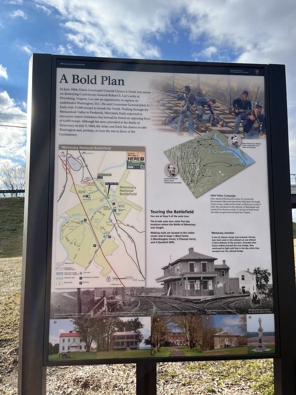
In June 1864, Union Lieutenant General Ulysses S. Grant was intent on destroying Confederate General Robert E. Lee's army at Petersburg, Virginia. Lee saw an opportunity to capture undefended Washington, D.C. He sent Lieutenant General Jubal A. Early with 15,000 troops to invade the North. Pushing through the Shenandoah Valley to Frederick, Maryland, Early expected to encounter minor resistance, but instead he found an opposing force of 6,000 troops. Although his army prevailed at the Battle of Monocacy on July 9, 1864, the delay cost Early his chance to take Washington, and perhaps, to turn the war in favor of the Confederacy.
Touring the Battlefield
You are at Stop 5 of the auto tour.
The 6-mile auto tour visits five key locations where the Battle of Monocacy was fought.
Walking trails are located at the visitor center and at stops 1 (Best Farm), 2 (Worthington Farm), 3 (Thomas Farm), and 4 (Gambrill Mill).
[Captions:]
1864 Valley Campaign
Early departed Richmond on June 13, secured the Shenandoah Valley, and moved into Maryland. He fought Union troops, reinforced by Grant, at Monocacy on July 9. Early then advanced on the defenses of Washington and reached Fort Stevens on July 11. On July 12 Early found the odds too great and retreated into Virginia.
Monocacy Junction
A mix of veteran troops and untested 100-day men took cover in the railroad and cut and offered a fierce defense of the junction. Stranded after Union soldiers burned the river bridge, they continued to fight until late in the day when they escaped over the railroad bridge.
❶ Tranquil today, Best Farm was caught in artillery crossfire at the battle's beginning.
❷ At Worthington Farm Confederates found a way to ford the Monocacy River, shifting the battle to a new front.
❸ Civilians hid in Thomas House as the armies faced off in furious fighting here.
❹ Gambrill Mill became a field hospital for Union soldiers.
❺ Defending Monocacy Junction was key to the Union's strategy.
Erected by National Park Service, U.S. Department of the Interior.
Topics. This historical marker is listed in these topic lists: Railroads & Streetcars • War, US Civil. A significant historical month for this entry is June 1864.
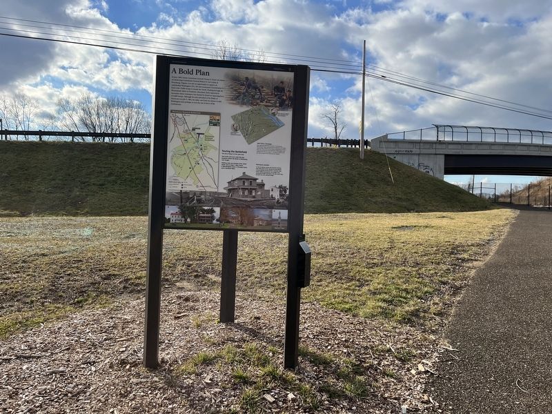
Location. 39° 22.261′ N, 77° 23.469′ W. Marker is in Ballenger Creek, Maryland, in Frederick County. Marker can be reached from Urbana Pike (Maryland Route 355) half a mile south of New Technology Way, on the right when traveling north. Touch for map. Marker is in this post office area: Frederick MD 21703, United States of America. Touch for directions.
Other nearby markers.
Credits. This page was last revised on January 7, 2023. It was originally submitted on January 7, 2023, by Devry Becker Jones of Washington, District of Columbia. This page has been viewed 107 times since then and 20 times this year. Photos: 1, 2. submitted on January 7, 2023, by Devry Becker Jones of Washington, District of Columbia.

