Würzburg, Bavaria, Germany — Central Europe
Gasthof zum Hirschen / The Inn of the Stag
Inscription.
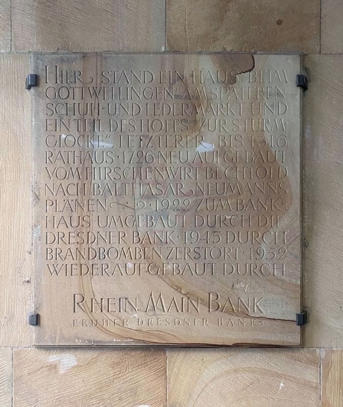
Hier stand ein Haus “Beim Gottweilingen” am späteren Schuh- und Ledermarkt und ein Teil des Hofes “Zur Sturmglocke”, letzterer bis 1316 Rathaus. 1726 neu aufgebaut vom Hirschenwirt Bechthold nach Balthasar Neumanns Plänen. 1922 zum Bankhaus umgebaut durch die Dresdner Bank. 1945 durch Brandbomben zerstört. 1952 wiederaufgebaut durch Rhein Main Bank früher Dresdner Bank
At this location here was the house "Beim Gottweilingen" at what was later the shoe and leather market and part of the courtyard of the inn "Zur Sturmglocke", the latter which was until 1316 the town hall. Rebuilt in 1726 by the innkeeper Bechthold according to Balthasar Neumann's plans. 1922 converted into a bank by the Dresdner Bank. Destroyed by incendiary bombs in 1945. Rebuilt in 1952 by Rhein Main Bank, formerly the Dresdner Bank.
Erected by Rhein Main Bank.
Topics. This historical marker is listed in this topic list: Industry & Commerce. A significant historical year for this entry is 1316.
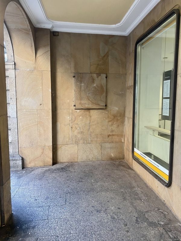
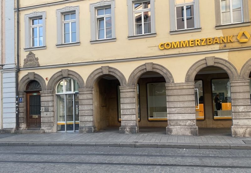
Location. 49° 47.57′ N, 9° 55.71′ E. Marker is in Würzburg, Bayern (Bavaria). Marker is at the intersection of Beim Grafeneckart and Augustinerstraße on Beim Grafeneckart. Touch for map. Marker is at or near this postal address: Beim Grafeneckart 11, Würzburg BY 97070, Germany. Touch for directions.
Other nearby markers. At least 8 other markers are within walking distance of this marker. Geschichte des Anwesens / History of this property (about 90 meters away, measured in a direct line); The Lower Main Mill (about 120 meters away); Norbert Glanzberg (about 120 meters away); Emy Roeder (about 150 meters away); Hof Castell (about 180 meters away); Hof "Zum Stachel" / The Mace Inn (about 210 meters away); Der Kreuzgang des Neumuensterstiftes / The Cloister of the Neumuenster Seminary (approx. 0.3 kilometers away); Schönbornkapelle / Schönborn Chapel (approx. 0.3 kilometers away). Touch for a list and map of all markers in Würzburg.
Also see . . . Gasthof zum Hirschen (Würzburg Wiki, in German). An extended history… (Submitted on January 11, 2023.)
Credits. This page was last revised on January 11, 2023. It was originally submitted on January 11, 2023, by Andrew Ruppenstein of Lamorinda, California. This page has been viewed 33 times since then and 3 times this year. Photos: 1, 2, 3. submitted on January 11, 2023, by Andrew Ruppenstein of Lamorinda, California.


