Near Santa Nella in Merced County, California — The American West (Pacific Coastal)
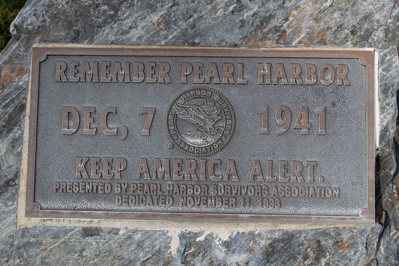
Remember Pearl Harbor
Keep America Alert
Presented by Pearl Harbor Survivors Association
Dedicated November 11, 1993
Erected 1993 by Pearl Harbor Survivors Association.
Topics. This memorial is listed in this topic list: War, World II.
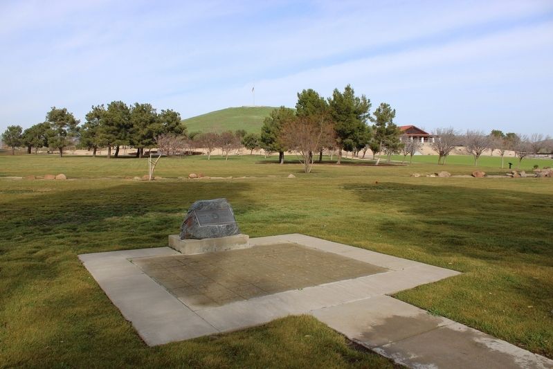
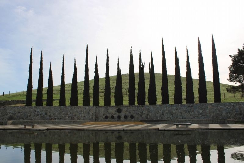
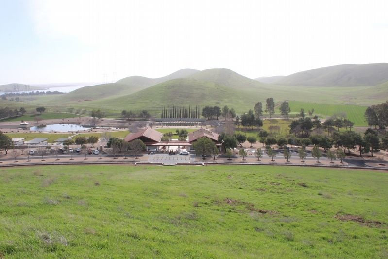
Location. 37° 6.781′ N, 121° 4.717′ W. Marker is near Santa Nella, California, in Merced County. Memorial can be reached from North Loop Road south of Tres Cerritos Boulevard when traveling east. The plaque is mounted to a boulder on the trail west of the San Joaquin Valley National Cemetery reflecting pool. Touch for map. Marker is at or near this postal address: 32053 McCabe Road, Gustine CA 95322, United States of America. Touch for directions.
Other nearby markers. At least 8 other markers are within 3 miles of this marker, measured as the crow flies. The Chosin Few (about 400 feet away, measured in a direct line); In Memory of Korean War Veterans (about 400 feet away); a different marker also named In Memory of Korean War Veterans (about 400 feet away); The Remembrance Memorial for California Korean War Veterans (about 400 feet away); First Marine Division – FMF (about 600 feet away); San Joaquin Valley National Cemetery (about 600 feet away); United States Submariners Memorial (approx. 0.2 miles away); Pacheco Pass (approx. 2˝ miles away). Touch for a list and map of all markers in Santa Nella.
Also see . . . Veterans Affairs: San Joaquin Valley National Cemetery.
"The creation of San Joaquin Valley National Cemetery is the sixth in the state and 114th in the National Cemetery Administration.(Submitted on January 12, 2023, by Joseph Alvarado of Livermore, California.)
The Romero Ranch Company donated the land for the cemetery to the Department of Veterans Affairs on Feb. 3, 1989. Construction of the 105-acre first phase began July 15, 1990. The water-pumping station on the California Aqueduct, the last element of construction, was completed in May 1992. The first phase yielded about 15,000 gravesites and 8,000 in-ground cremation sites."
Credits. This page was last revised on January 12, 2023. It was originally submitted on January 12, 2023, by Joseph Alvarado of Livermore, California. This page has been viewed 43 times since then and 11 times this year. Photos: 1, 2, 3, 4. submitted on January 12, 2023, by Joseph Alvarado of Livermore, California.


