Offerle in Edwards County, Kansas — The American Midwest (Upper Plains)
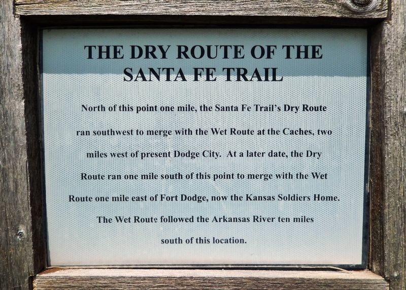
The Dry Route of the Santa Fe Trail
North of this point one mile, the Santa Fe Trailís Dry Route ran southwest to merge with the Wet Route at the Caches, two miles west of present Dodge City. At a later date, the Dry Route ran one mile south of this point to merge with the Wet Route one mile east of Fort Dodge, now the Kansas Soldiers Home. The Wet Route followed the Arkansas River ten miles south of this location.
Topics and series. This historical marker is listed in these topic lists: Industry & Commerce • Roads & Vehicles • Settlements & Settlers. In addition, it is included in the Santa Fe Trail series list.
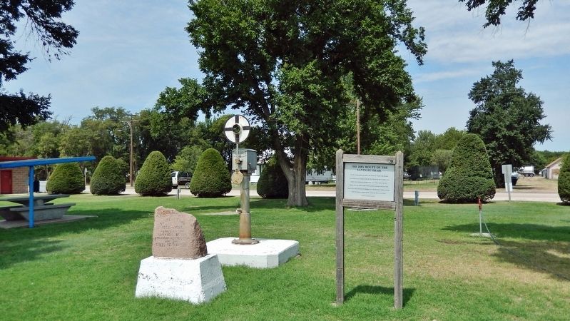
Location. 37° 53.451′ N, 99° 33.672′ W. Marker is in Offerle, Kansas, in Edwards County. Marker is on U.S. 50/56 just west of South Walnut Street, on the right when traveling west. Marker is located near the center of Offerle City Park. Touch for map. Marker is in this post office area: Offerle KS 67563, United States of America. Touch for directions.
Other nearby markers. At least 6 other markers are within 11 miles of this marker, measured as the crow flies. Santa Fe Trail (here, next to this marker); Edwards County Vietnam Veterans Memorial (within shouting distance of this marker); a different marker also named Santa Fe Trail (approx. 3.2 miles away); The Edwards County Historical Society (approx. 7.8 miles away); a different marker also named Santa Fe Trail (approx. 7.8 miles away); Battle of Coon Creek (approx. 10.9 miles away).
Related markers. Click here for a list of markers that are related to this marker.
Also see . . . Pawnee County, Kansas on the Santa Fe Trail. Legends of America website entry
The "Wet Route" vs. the "Dry Route" (Submitted on November 7, 2023, by Larry Gertner of New York, New York.)
Credits. This page was last revised on November 7, 2023. It was originally submitted on January 13, 2023, by Cosmos Mariner of Cape Canaveral, Florida. This page has been viewed 120 times since then and 42 times this year. Photos: 1, 2. submitted on January 13, 2023, by Cosmos Mariner of Cape Canaveral, Florida.

