Pearl Beach in Clay Township in St. Clair County, Michigan — The American Midwest (Great Lakes)
St. John's Marsh Project
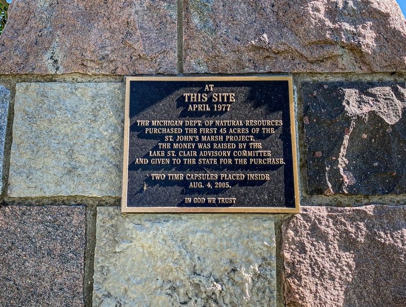
At this site April 1977
The Michigan Dept. of Natural Resources purchased the first 45 acres of the St. John's Marsh Project. The money was raised by the Lake St. Clair Advisory Committee and given to the state for the purchase.
Two time capsules placed inside
Aug. 4, 2005.
In God we trust
Topics. This historical marker is listed in this topic list: Parks & Recreational Areas. A significant historical month for this entry is April 1977.
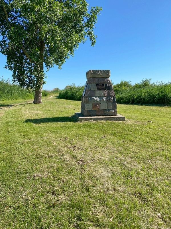
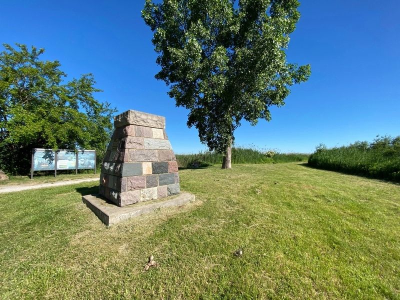
Location. 42° 37.699′ N, 82° 36.214′ W. Marker is in Clay Township, Michigan, in St. Clair County. It is in Pearl Beach. Marker is at the intersection of Pointe Tremble Road (Michigan Route 29) and Willow Court, on the right when traveling west on Pointe Tremble Road. The marker is on a cairn near the parking area for the park. Touch for map. Marker is at or near this postal address: 6213 Pointe Tremble Road, Algonac MI 48001, United States of America. Touch for directions.
Other nearby markers. At least 8 other markers are within 4 miles of this marker, measured as the crow flies. Colony Tower (approx. 0.7 miles away); Harsen House (approx. 1.8 miles away); Stewart Farm / Memoir of Aura Stewart (approx. 2.1 miles away); Water Speed Capital (approx. 3.7 miles away); Christopher Columbus Smith / Garfield A. "Gar" Wood (approx. 3.7 miles away); Clay Township Library (approx. 3.8 miles away); Saint Andrew's Parish / Saint Andrew's Church (approx. 3.8 miles away); Algonac Civil War / Vietnam Memorial (approx. 3.8 miles away).
Credits. This page was last revised on February 7, 2023. It was originally submitted on January 15, 2023, by J.T. Lambrou of New Boston, Michigan. This page has been viewed 170 times since then and 43 times this year. Photos: 1, 2, 3. submitted on January 15, 2023, by J.T. Lambrou of New Boston, Michigan. • J. Makali Bruton was the editor who published this page.


