Mackinaw City in Cheboygan County, Michigan — The American Midwest (Great Lakes)
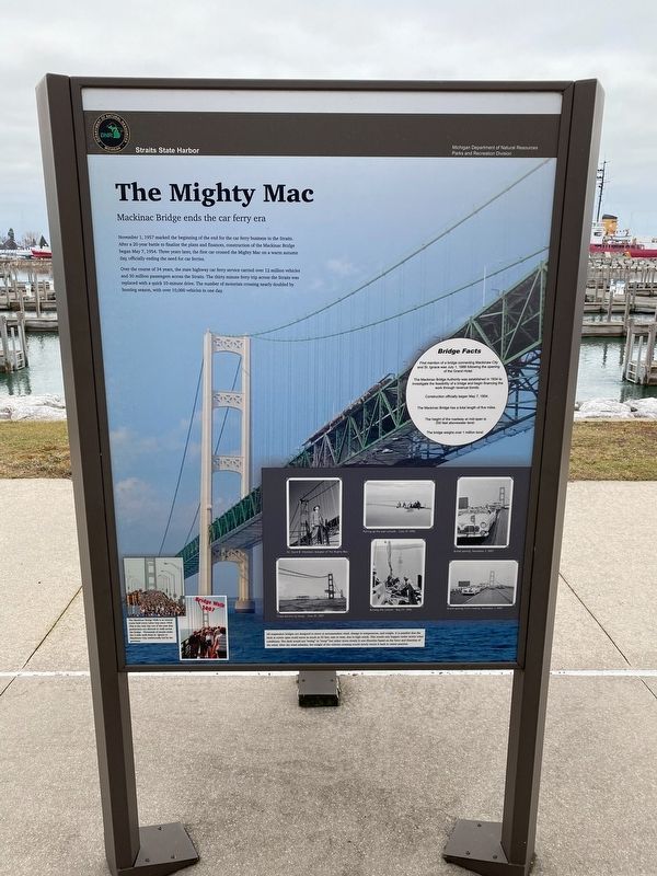
The Mighty Mac
Mackinac Bridge ends the car ferry era
November 1, 1957 marked the beginning of the end for the car ferry business in the Straits. After a 20-year battle to finalize the plans and finances, construction of the Mackinac Bridge began May 7, 1954. Three years later, the first car crossed the Mighty Mac on a warm autumn day, officially ending the need for car ferries.
Over the course of 34 years, the state highway car ferry service carried over 12 million vehicles and 30 million passengers across the Straits. The thirty minute ferry trip across the Straits was replaced with a quick 10-minute drive. The number of motorists crossing nearly doubled by hunting season, with over 10,000 vehicles in one day.
Bridge Facts
First mention of a bridge connecting Mackinaw City and St. Ignace was July 1, 1888 following the opening of the Grand Hotel.
The Mackinac Bridge Authority was established in 1934 to investigate the feasibility of a bridge and begin financing the work through revenue bonds.
Construction officially began May 7, 1954.
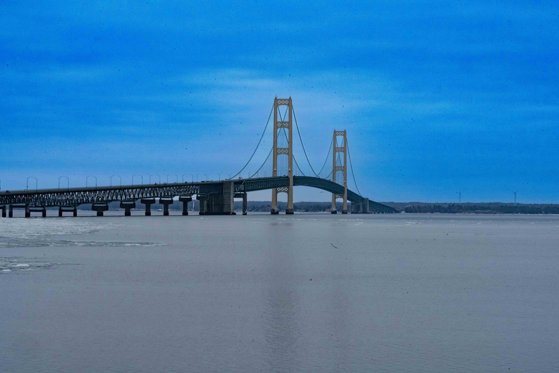
The Mackinac Bridge has a total length of five miles.
The height of the roadway at mid-span is 200 feet abovewater level.
The bridge weighs over 1 million tons!
Erected by Michigan DNR Parks and Recreation Division.
Topics. This historical marker is listed in these topic lists: Architecture • Bridges & Viaducts. A significant historical date for this entry is November 1, 1957.
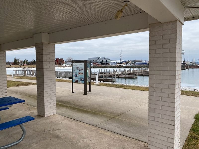
Location. 45° 46.672′ N, 84° 43.306′ W. Marker is in Mackinaw City, Michigan, in Cheboygan County. Marker can be reached from South Huron Avenue near Railroad Avenue. Marker is at the pavilions of the Straits State Harbor. Touch for map. Marker is at or near this postal address: 321 South Huron Avenue, Mackinaw City MI 49701, United States of America. Touch for directions.
Other nearby markers. At least 8 other markers are within walking distance of this marker. Before the bridge (a few steps from this marker); Crossing the Straits (a few steps from this marker); Windy City? (within shouting distance of this marker); North Central Trail (within shouting distance of this marker); Breaking the ice (within shouting distance of this marker); The Meneely Bell (approx. 0.2 miles away); Michigan State Ferry System / Michigan State Car Ferries (approx. 0.2 miles away); Edgar Conkling 1812-1881 (approx. 0.2 miles away). Touch for a list and map of all markers in Mackinaw City.
Credits. This page was last revised on January 17, 2023. It was originally submitted on January 16, 2023, by J.T. Lambrou of New Boston, Michigan. This page has been viewed 66 times since then and 4 times this year. Photos: 1, 2, 3. submitted on January 16, 2023, by J.T. Lambrou of New Boston, Michigan. • Andrew Ruppenstein was the editor who published this page.


