Mackinaw City in Cheboygan County, Michigan — The American Midwest (Great Lakes)
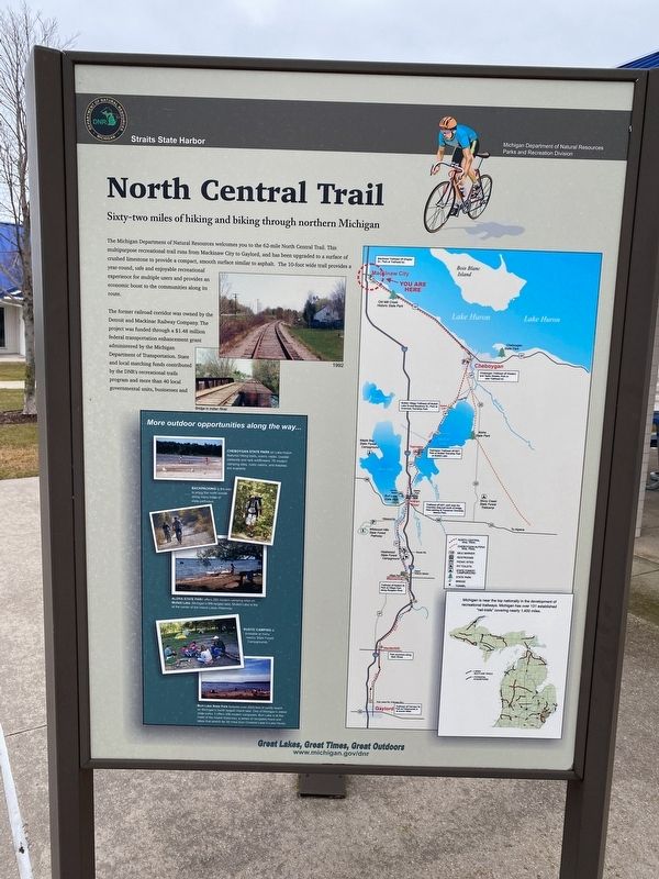
North Central Trail
Sixty-two miles of hiking and biking through northern Michigan
The Michigan Department of Natural Resources welcomes you to the 62-mile North Central Trail. This multipurpose recreational trail runs from Mackinaw City to Gaylord, and has been upgraded to a surface of crushed limestone to provide a compact, smooth surface similar to asphalt. The 10-foot wide trail provides a year-round, safe and enjoyable recreational experience for multiple users and provides an economic boost to the communities along its route.
The former railroad corridor was owned by the Detroit and Mackinac Railway Company. The project was funded through a $1.48 million federal transportation enhancement grant administered by the Michigan Department of Transportation. State and local matching funds contributed by the DNR's recreational trails program and more than 40 local governmental units, businesses and other organizations.The corridor between Taylor and Cheboygan was acquired in six separate transactions starting in 1998 and ending in 2000 (1218/1998 to 9/01/2000) from the Detroit & Mackinac Railway Company.
Erected by Michigan DNR Parks and Recreation Division.
Topics. This historical marker is listed in these topic lists: Parks & Recreational Areas • Railroads & Streetcars. A significant historical year for this entry is 1998.
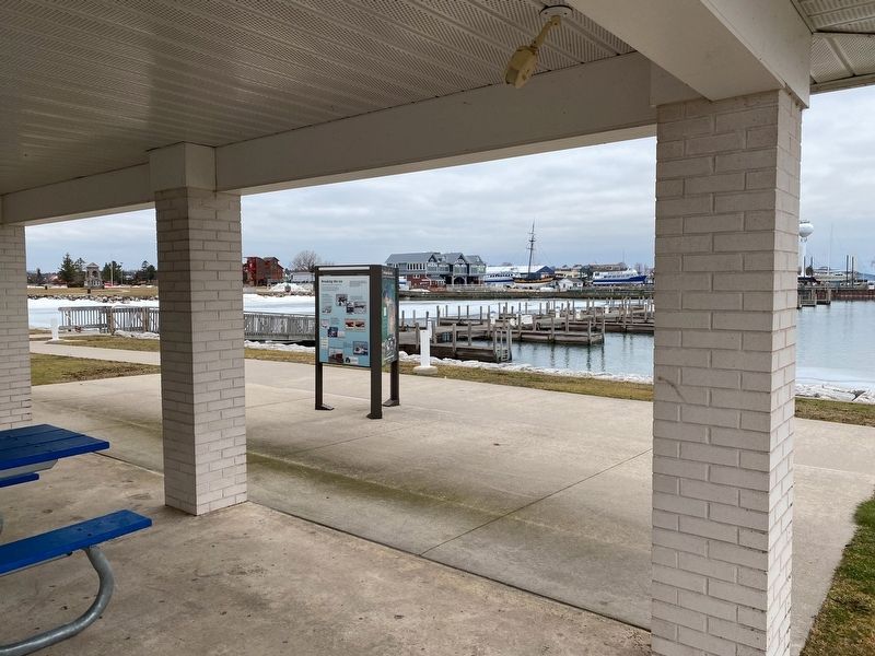
Location. 45° 46.674′ N, 84° 43.365′ W. Marker is in Mackinaw City, Michigan, in Cheboygan County. Marker can be reached from South Huron Avenue near Railroad Avenue. The marker is at the pavilions of the Straits State Harbor. Touch for map. Marker is at or near this postal address: 321 South Huron Avenue, Mackinaw City MI 49701, United States of America. Touch for directions.
Other nearby markers. At least 8 other markers are within walking distance of this marker. Breaking the ice (here, next to this marker); The Mighty Mac (within shouting distance of this marker); Crossing the Straits (about 300 feet away, measured in a direct line); Before the bridge (about 300 feet away); Windy City? (about 400 feet away); The Meneely Bell (about 700 feet away); Michigan State Ferry System / Michigan State Car Ferries (about 800 feet away); Edgar Conkling 1812-1881 (about 800 feet away). Touch for a list and map of all markers in Mackinaw City.
Related marker. Click here for another marker that is related to this marker.
Credits. This page was last revised on January 18, 2023. It was originally submitted on January 16, 2023, by J.T. Lambrou of New Boston, Michigan. This page has been viewed 55 times since then and 4 times this year. Photos: 1, 2. submitted on January 16, 2023, by J.T. Lambrou of New Boston, Michigan. • J. Makali Bruton was the editor who published this page.

