Parris Island in Beaufort County, South Carolina — The American South (South Atlantic)
Parris Island Plantations
Photographed by Mike Stroud, June 26, 2008
1. Parris Island Plantations Marker
1715 - 1750
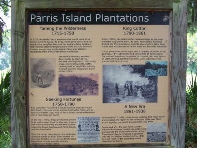
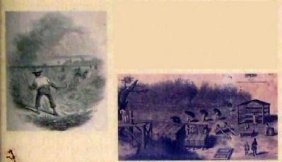
The work of the early settlers, done mostly by their slaves, included clearing forests, cultivating crops, and tending cattle. Cattle ranching was an important industry in South Carolina throughout much of the 1700's.
Seeking Fortunes
1750 - 1790
In the late 1740's indigo production proved to be such a crop. Used for blue dye, it grew well in the Lowcountry and became a prime export for South Carolina, and Parris Island, until the Revolution.
Once
this page online
King Cotton
1790 - 1861
Cotton produced also brought with it renewed increases in the labor force. By 1850 nearly 500 slaves lived on Parris Island. The resident non-slave population, in contrast, was very sparse. In 1859 only two planters lived here. Daily supervision was primarily left to overseers.
A New Era
1861 - 1938
During and after the war, Parris Island's old plantations were divided into small tracts and given to newly
Photographed by Parris Island Plantations Marker
2. Parris Island Plantations Marker
The work of the early settlers, done mostly by their slaves
Erected by U.S. Marine Corps Recruit Depot Parris Island.
Topics. This historical marker is listed in these topic lists: African Americans • Colonial Era • Industry & Commerce • Notable Places • Settlements & Settlers. A significant historical month for this entry is November 1910.
Location. 32° 18.368′ N, 80° 40.559′ W. Marker is on Parris Island, South Carolina, in Beaufort County. It is on Belleau Wood Road, in the median. Touch for map. Marker is in this post office area: Parris Island SC 29905, United States of America. Touch for directions.

Regionally, this marker is in the Lowcountry and on the Sea Islands. It is also in the American South, specifically in the Deep South, and on the Eastern Seaboard. Globally, it is in the North Atlantic Region, North America, the Western Hemisphere, the Western World, and the Anglosphere. Historically,
Photographed by Parris Island Plantations Marker
3. Parris Island Plantations Marker
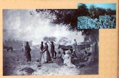
Most arable land was devoted to cotton fields and few trees remained.
Other nearby markers. At least 8 other markers are within walking distance of this marker: Parris Island Indians (a few steps from this marker); Aqui Estuvo España (within shouting distance of this marker); Fort San Marcos (within shouting distance of this marker); Charlesfort-Santa Elena Site (within shouting distance of this marker); Jean Ribault Monument (within shouting distance of this marker); Northern Most Known Bastion of Spanish Florida (within shouting distance of this marker); The First Inhabitants (within shouting distance of this marker); Fort San Marcos & The Ribaut Monument (within shouting distance of this marker). Touch for a list and map of all markers in Parris Island.
Regarding Parris Island Plantations. About 3,000 acres are habitable, of which 1,645 are developed. The Depot manages about 1,400 acres of forest and
Photographed by Parris Island Plantations Marker
4. Parris Island Plantations Marker
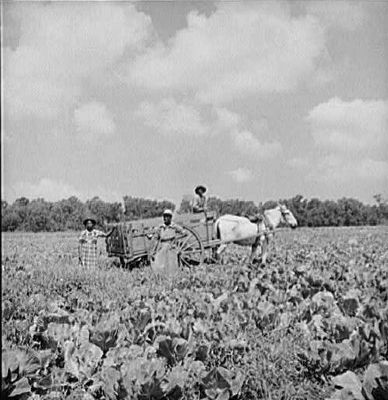
old plantations were divided into small tracts and given to newly freed slaves to farm. These family farms remained in operation until the last civilian residents left in 1938 to make room for the expanding Marine Corps Recruit Depot.
Photographed by Mike Stroud, June 26, 2008
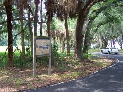
5. Parris Island Plantations Marker as seen at the Belleau Wood Rd. circle
Photographed by Mike Stroud, June 26, 2009
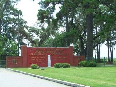
6. Parris Island Gateway as seen today
Note that the French Memorial (center) is included at the Gateway. For more information, nearby markers Fort San Marcos & The Ribaut Monument.
Credits. This page was last revised on June 16, 2016. It was originally submitted on August 6, 2009, by Mike Stroud of Bluffton, South Carolina. This page has been viewed 4,238 times since then and 356 times this year. Photos: 1, 2, 3, 4, 5, 6. submitted on August 6, 2009, by Mike Stroud of Bluffton, South Carolina. • Kevin W. was the editor who published this page.
