Sault Ste. Marie in Chippewa County, Michigan — The American Midwest (Great Lakes)
Early Hotels on Water Street
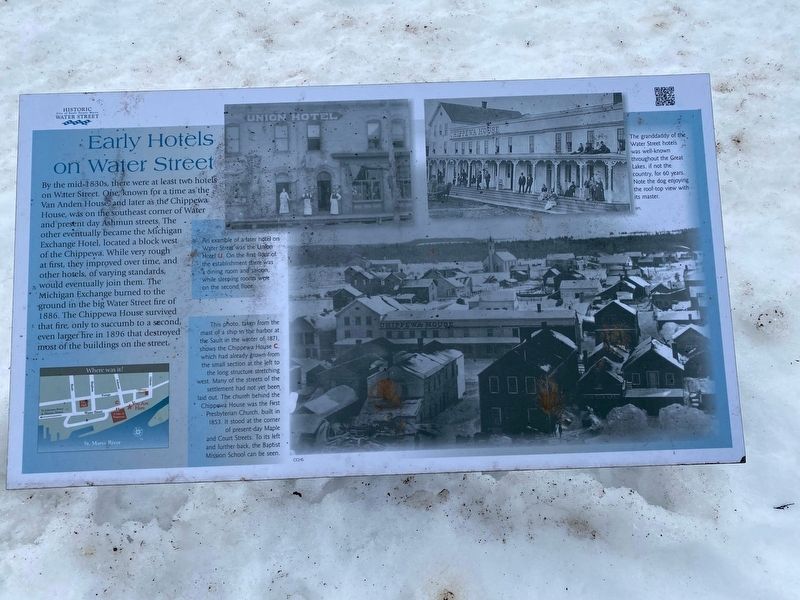
Photographed by J.T. Lambrou, January 3, 2023
1. Early Hotels on Water Street Marker
Topics. This historical marker is listed in this topic list: Industry & Commerce.
Location. 46° 30.041′ N, 84° 20.804′ W. Marker is in Sault Ste. Marie, Michigan, in Chippewa County. It is at the intersection of West Water Street and River Street, on the right when traveling west on West Water Street. Touch for map. Marker is at or near this postal address: 201 West Water Street, Sault Sainte Marie MI 49783, United States of America.
this page online

Regionally, this marker is on the Upper Peninsula. It is also in the American Midwest and on Lake Superior’s South Shore Region. Globally, it is in North America, in the Great North Woods, on the Great Lakes, in the Western Hemisphere, in the Western World, and in the Anglosphere. Historically, it finds itself in what was once the Viceroyalty of New France and also the Northwest Territory.
Other nearby markers. At least 8 other markers are within walking distance of this marker: Water Street Businesses in the Late 1800s (about 400 feet away, measured in a direct line); Saw Mill (about 500 feet away); Historic Sault Ste. Marie (about 500 feet away); The Elijah B. Allen House (about 600 feet away); Making a Grand Entrance (about 600 feet away); St. Marys Falls Canal (about 700 feet away); Governor Chase S. Osborn Memorial (about 700 feet away); Chippewa County Courthouse (about 700 feet away). Touch for a list and map of all markers in Sault Ste. Marie.
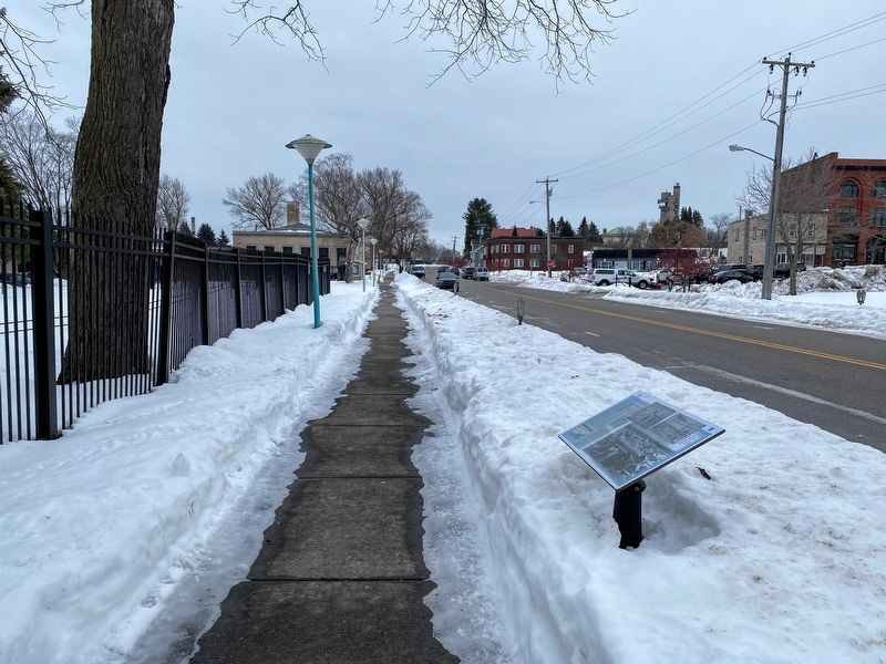
Photographed by J.T. Lambrou, January 3, 2023
2. Early Hotels on Water Street Marker
Credits. This page was last revised on April 7, 2023. It was originally submitted on January 16, 2023, by J.T. Lambrou of New Boston, Michigan. This page has been viewed 202 times since then and 18 times this year. Photos: 1, 2. submitted on January 18, 2023, by J.T. Lambrou of New Boston, Michigan. • J. Makali Bruton was the editor who published this page.
