Sault Ste. Marie in Chippewa County, Michigan — The American Midwest (Great Lakes)
The Elijah B. Allen House
Photographed by J.T. Lambrou, January 3, 2023
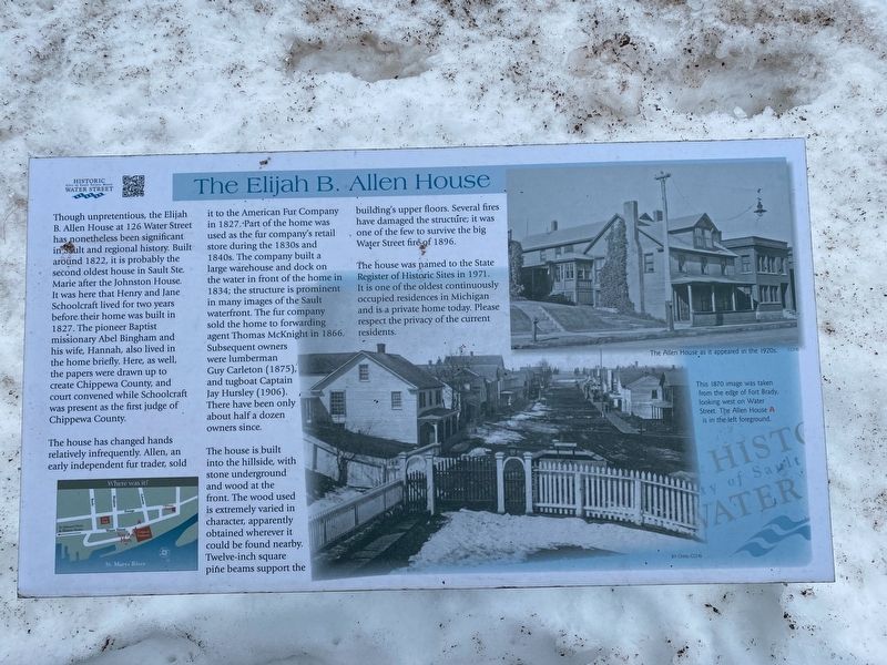
1. The Elijah B. Allen House Marker
The house has changed hands relatively infrequently. Allen, an early independent fur trader, sold it to the American Fur Company in 1827. Part of the home was used as the fur company's retail store during the 1830s and 1840s. The company built a large warehouse and dock on the water in front of the home in 1834; the structure is prominent in many images of the Sault waterfront. The fur company sold the home to forwarding agent Thomas McKnight in 1866. Subsequent owners were lumberman Guy Carleton (1875), and tugboat Captain Jay Hursley (1906).
this page online
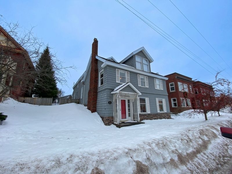
The house is built into the hillside, with stone underground and wood at the front. The wood used is extremely varied in character, apparently obtained wherever it could be found nearby. Twelve-inch square pine beams support the building's upper floors. Several fires have damaged the structure; it was one of the few to survive the big Water Street fire of 1896.
The house was named to the State Register of Historic Sites in 1971. It is one of the oldest continuously occupied residences in Michigan and is a private home today. Please respect the privacy of the current residents.
Topics. This historical marker is listed in this topic list: Notable Places. A significant historical year for this entry is 1822.
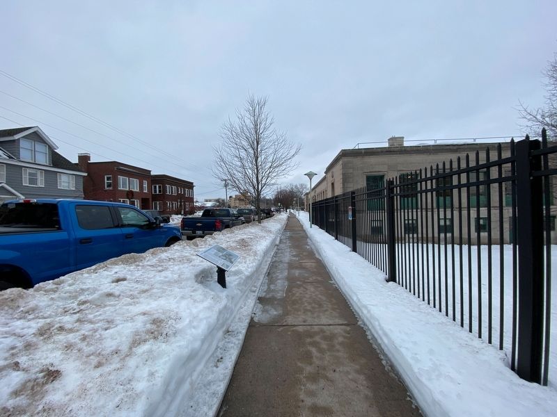
Location. 46° 30.052′ N, 84° 20.66′ W. Marker is in Sault Ste. Marie, Michigan, in Chippewa County. It is on East Water Street near Bingham Avenue, on the right when traveling west. Touch for map. Marker is at or near this postal address: 126 East Water Street, Sault Sainte Marie MI 49783, United States of America. Touch for directions.

Regionally, this marker is on the Upper
Photographed by J.T. Lambrou, January 3, 2023
2. The Elijah B. Allen House Marker
Other nearby markers. At least 8 other markers are within walking distance of this marker: St. Mary's Church (about 500 feet away, measured in a direct line); Fort Brady (about 600 feet away); Early Hotels on Water Street (about 600 feet away); Old Fort Brady (about 600 feet away); Statue of St. Mary (about 700 feet away); A Sampler of Vessels That Have Passed This Spot (about 700 feet away); Fort Brady 1850 (about 800 feet away); Ancient Anishinaabek Burial Ground (about 800 feet away). Touch for a list and map of all markers in Sault Ste. Marie.
Photographed by J.T. Lambrou, January 3, 2023
3. The Elijah B. Allen House
Credits. This page was last revised on April 7, 2023. It was originally submitted on January 17, 2023, by J.T. Lambrou of New Boston, Michigan. This page has been viewed 454 times since then and 40 times this year. Photos: 1, 2, 3. submitted on January 18, 2023, by J.T. Lambrou of New Boston, Michigan. • J. Makali Bruton was the editor who published this page.
