Sault Ste. Marie in Chippewa County, Michigan — The American Midwest (Great Lakes)
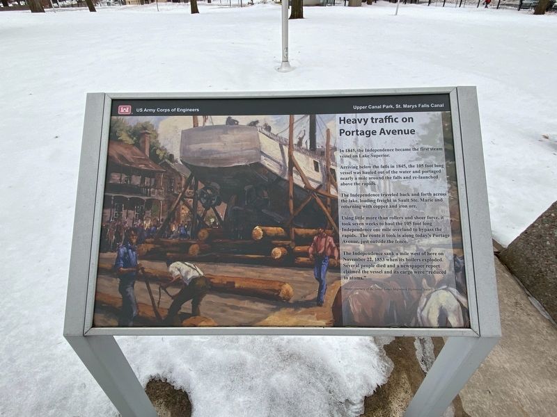
Heavy traffic on Portage Avenue
Arriving below the falls in 1845, the 105 foot long vessel was hauled out of the water and portaged nearly a mile around the falls and re-launched above the rapids.
The Independence traveled back and forth across the lake, loading freight in Sault Ste. Marie and returning with copper and iron ore.
Using little more than rollers and sheer force, it took seven weeks to haul the 105 foot long Independence one mile overland to bypass the rapids. The route it took is along today's Portage Avenue, just outside the fence.
The Independence sank a mile west of here on November 22, 1853 when its boilers exploded. Several people died and a newspaper report claimed the vessel and its cargo were "reduced to atoms".
Erected by US Army Corps of Engineers.
Topics. This historical marker is listed in these topic lists: Disasters • Industry & Commerce • Waterways & Vessels. A significant historical date for this entry is November 22, 1853.
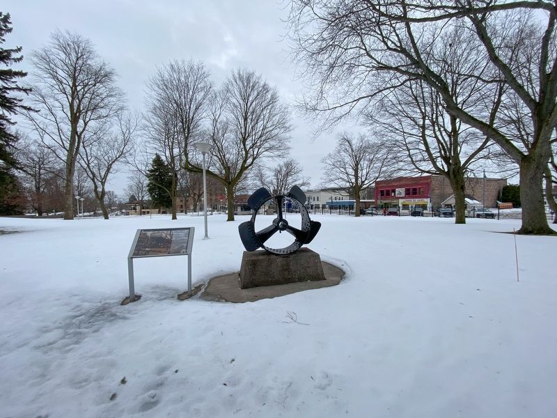
Location. 46° 30.11′ N, 84° 20.989′ W. Marker is in Sault Ste. Marie, Michigan, in Chippewa County. Marker can be reached from West Portage Avenue near Ferris Street, on the right when traveling west. The marker is in Upper Canal Park. Touch for map. Marker is at or near this postal address: 312 West Portage Avenue, Sault Sainte Marie MI 49783, United States of America. Touch for directions.
Other nearby markers. At least 8 other markers are within walking distance of this marker. Cornerstone for new technology (within shouting distance of this marker); James R. Barker (within shouting distance of this marker); American Century (within shouting distance of this marker); St. Marys Falls Canal (within shouting distance of this marker); Propeller from tug Marquette (within shouting distance of this marker); Making a Grand Entrance (within shouting distance of this marker); Governor Chase S. Osborn Memorial (about 300 feet away, measured in a direct line); International Shipmasters' Association (about 300 feet away). Touch for a list and map of all markers in Sault Ste. Marie.
Credits. This page was last revised on January 21, 2023. It was originally submitted on January 17, 2023, by J.T. Lambrou of New Boston, Michigan. This page has been viewed 62 times since then and 5 times this year. Photos: 1, 2. submitted on January 18, 2023, by J.T. Lambrou of New Boston, Michigan. • J. Makali Bruton was the editor who published this page.

