Sault Ste. Marie in Chippewa County, Michigan — The American Midwest (Great Lakes)
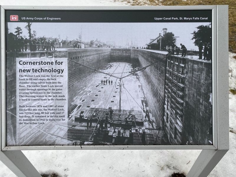
Cornerstone for new technology
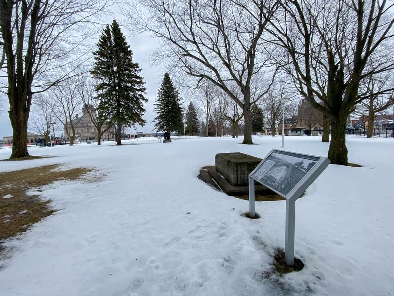
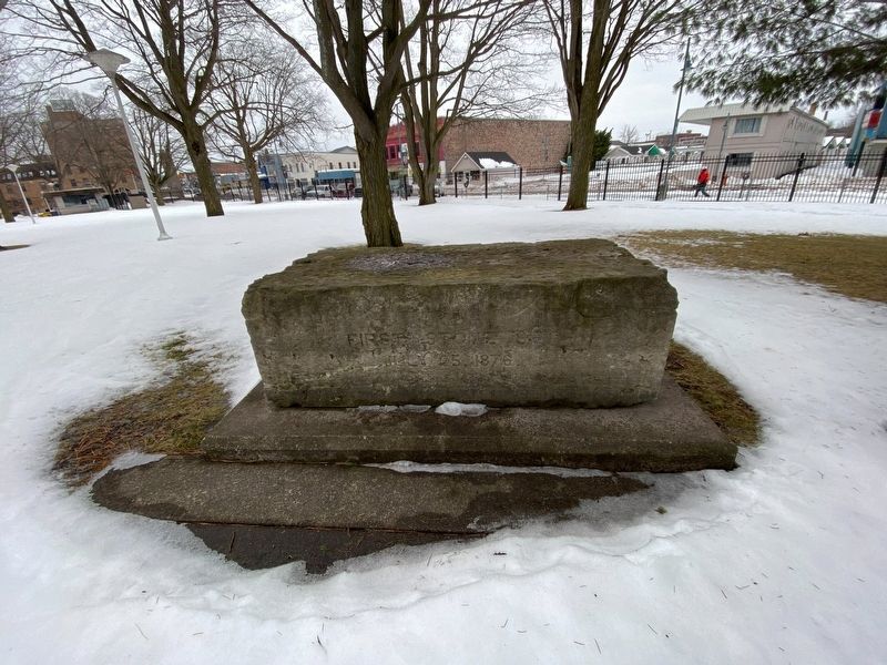
Built between 1876 and 1881 of stone blocks like this one, the Weitzel Lock, was 515 feet long, 80 feet wide and 17 feet deep. It remained in service until its demolition in 1942 to make way for the MacArthur Lock.
Erected by US Army Corps of Engineers.
Topics. This historical marker is listed in this topic list: Waterways & Vessels. A significant historical year for this entry is 1876.
Location. 46° 30.103′ N, 84° 21.011′ W. Marker is in Sault Ste. Marie, Michigan, in Chippewa County. Marker can be reached from West Portage Avenue near Ferris Street, on the right when traveling west. Touch for map. Marker is at or near this postal address: 312 West Portage Avenue, Sault Sainte Marie MI 49783, United States of America. Touch for directions.
Other nearby markers. At least 8 other markers are within walking distance of this marker. Heavy traffic on Portage Avenue (within shouting distance of this marker); Propeller from tug Marquette (within shouting distance of this marker); American Century (within shouting distance of this marker); James R. Barker (within shouting distance of this marker); International Shipmasters' Association (within shouting distance of this marker); St. Marys Falls Canal (within shouting distance of this marker); American Spirit (about 300 feet away, measured in a direct line); Presque Isle (about 300 feet away). Touch for a list and map of all markers in Sault Ste. Marie.
Credits. This page was last revised on January 22, 2023. It was originally submitted on January 17, 2023, by J.T. Lambrou of New Boston, Michigan. This page has been viewed 59 times since then and 5 times this year. Photos: 1, 2, 3. submitted on January 17, 2023, by J.T. Lambrou of New Boston, Michigan. • J. Makali Bruton was the editor who published this page.


