Sault Ste. Marie in Chippewa County, Michigan — The American Midwest (Great Lakes)
How's the weather?
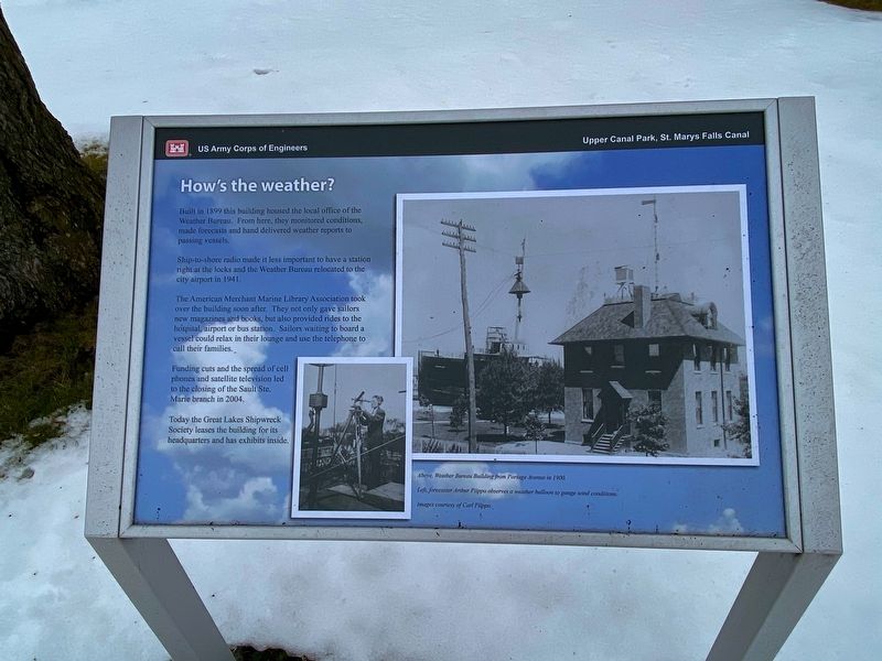
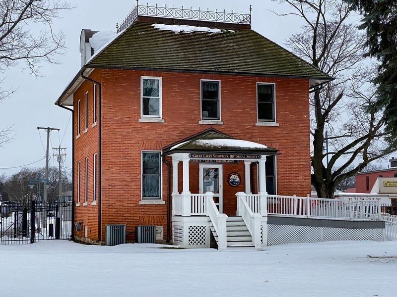
Built in 1899 this building housed the local office of the Weather Bureau. From here, they monitored conditions, made forecasts and hand delivered weather reports to passing vessels.
Ship-to-shore radio made it less important to have a station right at the locks and the Weather Bureau relocated to the city airport in 1941.
The American Merchant Marine Library Association took over the building soon after. They not only gave sailors new magazines and books, but also provided rides to the hospital, airport or bus station. Sailors waiting to board a vessel could relax in their lounge and use the telephone to call their families.
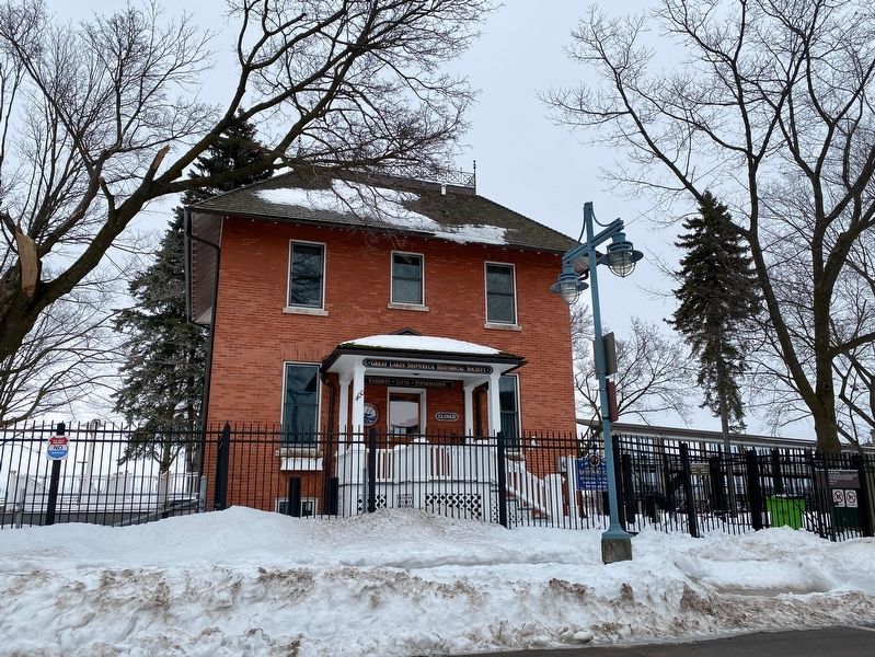
Funding cuts and the spread of cell phones and satellite television led to the closing of the Sault Ste. Marie branch in 2004. Today the Great Lakes Shipwreck Society leases the building for its headquarters and has exhibits inside.
Topics. This historical marker is listed in this topic list: Waterways & Vessels. A significant historical year for this entry is 1899.
Location. 46° 30.118′ N, 84° 21.083′ W. Marker is in Sault Ste. Marie, Michigan, in Chippewa County. Marker can be reached from West Portage Avenue near Ferris Street, on the right when traveling west. Touch for map. Marker is at or near this postal address: 312 West Portage Avenue, Sault Sainte Marie MI 49783, United States of America. Touch for directions.
Other nearby markers. At least 8 other markers are within walking distance of this marker. American Spirit (a few steps from this marker); Presque Isle (a few steps from this marker); Stewart J. Cort (within shouting distance of this marker); International Shipmasters' Association (within shouting distance of this marker); Burns Harbor (within shouting distance of this marker); Propeller from tug Marquette (within shouting distance of this marker); The stone that stops Lake Superior (within shouting distance of this marker); American Century (within shouting distance of this marker). Touch for a list and map of all markers in Sault Ste. Marie.
Credits. This page was last revised on May 27, 2023. It was originally submitted on January 17, 2023, by J.T. Lambrou of New Boston, Michigan. This page has been viewed 61 times since then and 4 times this year. Photos: 1, 2, 3, 4. submitted on January 17, 2023, by J.T. Lambrou of New Boston, Michigan. • J. Makali Bruton was the editor who published this page.


