Devil's Pocket in Philadelphia in Philadelphia County, Pennsylvania — The American Northeast (Mid-Atlantic)
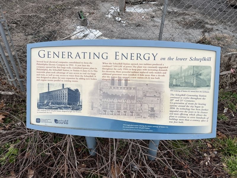
Generating Energy
on the lower Schuylkill
Several local electrical companies consolidated to form the Philadelphia Electric Company in 1902. A year later the company opened the first large-scale, centralized power plant in Philadelphia, the Schuylkill Station, or Station A (later A-1). This waterside plant took advantage of easy access to coal via barge and train, as well as easy access to water from the Schuylkill. It was designed to allow for easy expansion by adding new boilers and engine rooms parallel to existing room.
When the Schuylkill Station opened, two turbines produced a combined 7,000 kW of power. The plant was constantly upgraded throughout the early 1900s to keep pace with increasing demands for electricity. More powerful turbines replaced early models and additional generators were installed. A little more than a decade after the station first opened, a new station (A-2) was built alongside the original station.
The Schuylkill Generating Station continued to evolve throughout the 20th and 21st Centuries. Co-generation of steam for heating systems around the city began in 1950. Its technology has been further upgraded over the years to be cleaner and more efficient, which allows the plant to continue to serve hundreds of buildings more than a century after it was first built.
Erected by Philadelphia Parks & Recreation; Schuylkill Banks.
Topics. This historical marker is listed in these topic lists: Industry & Commerce • Waterways & Vessels. A significant historical year for this entry is 1902.
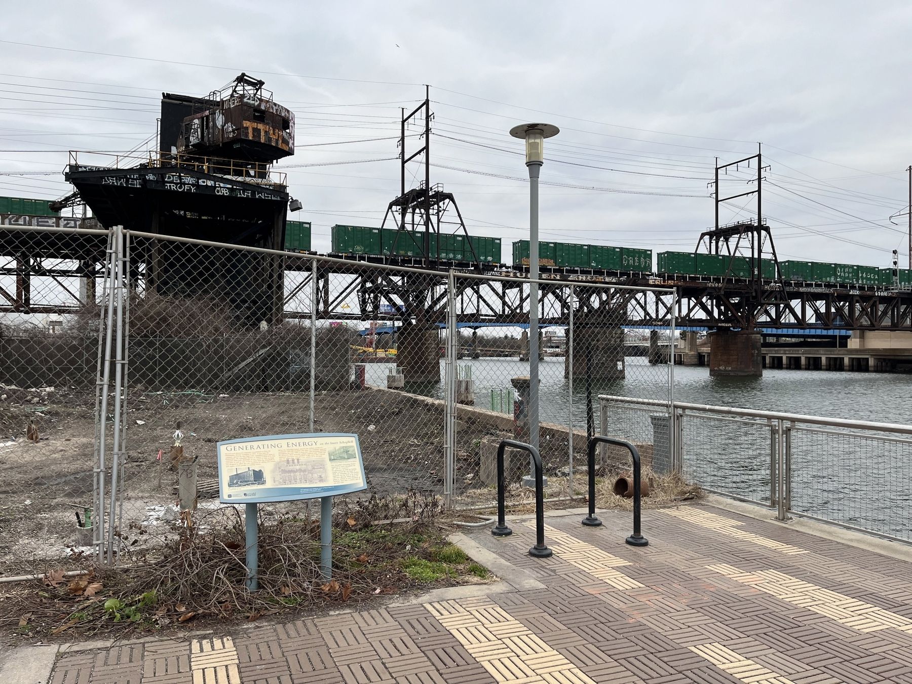
Location. 39° 56.607′ N, 75° 11.421′ W. Marker is in Philadelphia, Pennsylvania, in Philadelphia County. It is in Devil's Pocket. Marker is on Schuylkill River Trail, half a mile south of South Street, on the right when traveling south. Touch for map. Marker is at or near this postal address: 830 Schuylkill River Trl, Philadelphia PA 19146, United States of America. Touch for directions.
Other nearby markers. At least 8 other markers are within walking distance of this marker. Tides and Floods (approx. 0.2 miles away); Schuylkill Arsenal (approx. ¼ mile away); The arteries of industry (approx. ¼ mile away); Workshop of the world (approx. ¼ mile away); A force of nature and commerce (approx. ¼ mile away); Pioneering Pediatrics (approx. 0.3 miles away); South Street Bridge (approx. 0.3 miles away); These 19th-century Belgian blocks… (approx. 0.3 miles away). Touch for a list and map of all markers in Philadelphia.
Credits. This page was last revised on February 2, 2023. It was originally submitted on January 17, 2023, by Devry Becker Jones of Washington, District of Columbia. This page has been viewed 63 times since then and 18 times this year. Photos: 1, 2. submitted on January 17, 2023, by Devry Becker Jones of Washington, District of Columbia.

