Near Morley in Municipal District of Bighorn No. 8, Alberta — Canada’s Prairie Region (North America)
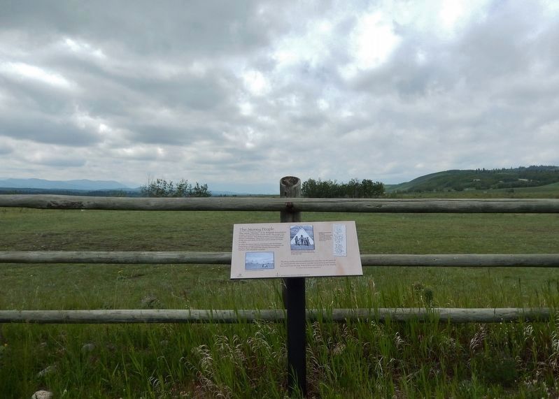
The Stoney People
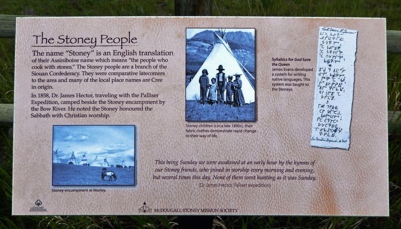
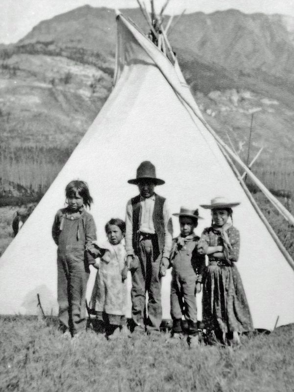
The name "Stoney" is an English translation of their Assiniboine name which means "the people who cook with stones." The Stoney people are a branch of the Siouan Confederacy. They were comparative latecomers to the area and many of the local place names are Cree in origin.
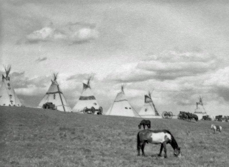
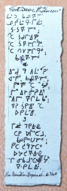
In 1858, Dr. James Hector, traveling with the Palliser Expedition, camped beside the Stoney encampment by the Bow River. He noted the Stoney honoured the Sabbath with Christian worship.
(Dr James Hector, Palliser expedition)
Erected by McDougall Stoney Mission Society; and the Calgary Foundation.
Topics. This historical marker is listed in these topic lists: Churches & Religion • Native Americans. A significant historical year for this entry is 1858.
Location. 51° 11.22′ N, 114° 49.501′ W. Marker is near Morley, Alberta, in Municipal District of Bighorn No. 8. Marker can be reached from Bow Valley Trail (Provincial Highway 1A) 1.6 kilometers east of Morley Road (Provincial Highway 133X), on the right when traveling east. Marker is located at the McDougall Stoney Mission Historical Site, on the west side of the McDougall Memorial United Church. Touch for map. Marker is in this post office area: Morley AB T0L 1N0, Canada. Touch for directions.
Other nearby markers. At least 8 other markers are within walking distance of this marker. Establishing Morleyville (here, next to this marker); The Methodist Missionaries (here, next to this marker); Rev. George MacDougall (a few steps from this marker); Building A Church (within shouting distance of this marker); Restoring the Church (within shouting distance of this marker); Caretaker's Cabin (within shouting distance of this marker); Morleyville Historic Mission (about 120 meters away, measured in a direct line); McDougall Memorial (about 150 meters away). Touch for a list and map of all markers in Morley.
Related markers. Click here for a list of markers that are related to this marker. McDougall Stoney Mission Historical Site
Also see . . . Stoney-Nakoda.
The Stoney-Nakoda bands, commonly composed of extended families, lived and continue to live along Alberta's Rocky Mountain foothills from the headwaters of the Athabasca River south to Chief Mountain in Montana. These forest and foothill people hunted bison and other big game animals. With the establishment of Edmonton House (1795) and Rocky Mountain House (1799), they traded furs, hides and fresh meat, and were invaluable guides to traders, explorers (Lord Southesk, John Palliser, James Hector), surveyors (Canadian Pacific Railway; Geological Survey of Canada) and missionaries.(Submitted on January 18, 2023, by Cosmos Mariner of Cape Canaveral, Florida.)
Credits. This page was last revised on January 21, 2023. It was originally submitted on January 18, 2023, by Cosmos Mariner of Cape Canaveral, Florida. This page has been viewed 58 times since then and 6 times this year. Photos: 1, 2, 3, 4, 5. submitted on January 18, 2023, by Cosmos Mariner of Cape Canaveral, Florida.
