Keystone Heights in Clay County, Florida — The American South (South Atlantic)
The Keystone Inn
Side 1
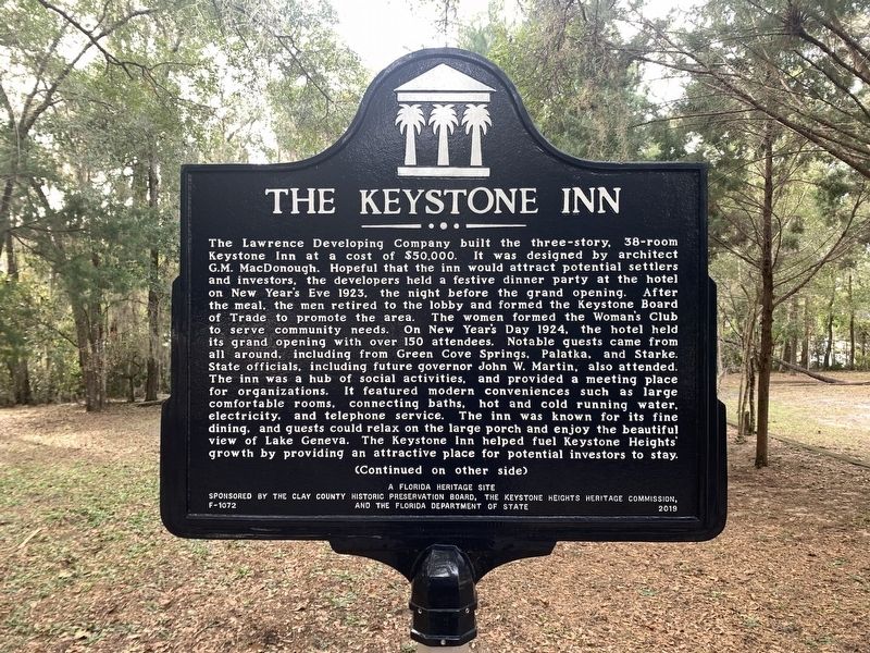
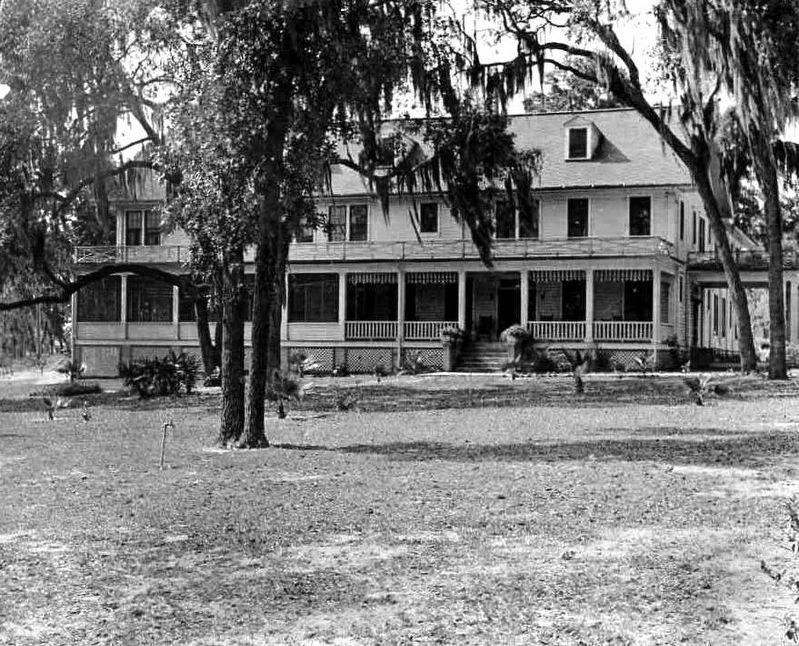
The Lawrence Developing Company built the three-story, 38-room Keystone Inn at a cost of $50,000. It was designed by architect, G.M. MacDonough. Hopeful that the inn would attract potential settlers and investors, the developers held a festive dinner party at the hotel on New Year’s Eve 1923, the night before the grand opening. After the meal, the men retired to the lobby and formed the Keystone Board of Trade to promote the area. The women formed the Woman’s Club to serve community needs. On New Year’s Day 1924, the hotel held its grand opening with over 150 attendees. Notable guest came from all around, including from Green Cove Springs, Palatka, and Starke. State officials, including future governor John W. Martin, also attended. The inn was a hub of social activities, and provided a meeting place for organizations. It featured modern conveniences such as large, comfortable rooms, connecting baths, hot and cold running water, electricity, and telephone services. The inn was known for its fine dining, and guests could relax on the large porch and enjoy the beautiful view of Lake Geneva. The Keystone Inn helped fuel Keystone Heights' growth by providing an attractive place for potential investors to stay.
(Continued on other side)
Side 2
(Continued from other side)
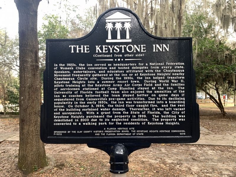
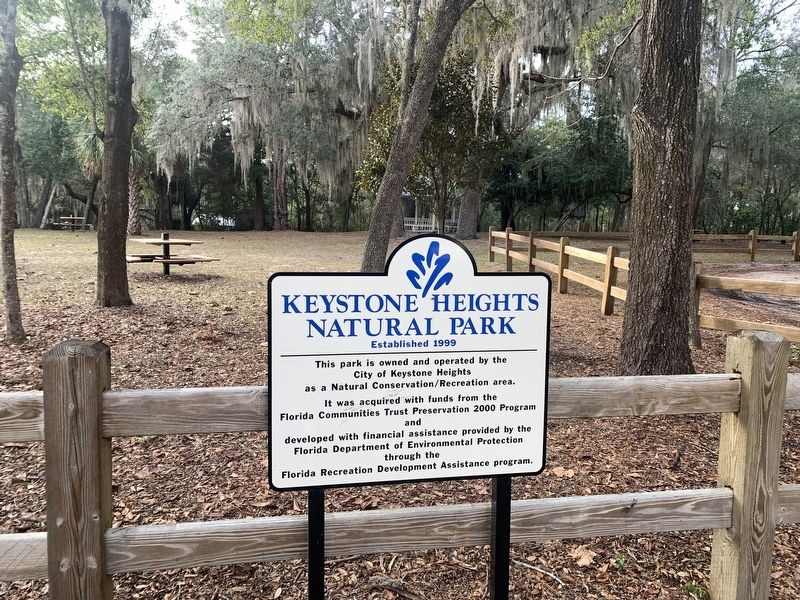
In the 1920s, the inn served as headquarters for a National Federation of Women’s Clubs convention and hosted delegates from every state. Speakers, entertainers, and educators affiliated with the Chautauqua Movement frequently gathered at the inn or at Keystone Heights' nearby Chautauqua Circle site. During the 1930s, the inn helped transform Keystone Heights into a summer resort town. During World War II, pilots training at the Keystone Army Air Corps Field and the families of servicemen stationed at Camp Blanding stayed at the inn. The University of Florida football team also enjoy the amenities of the inn as coaches believed the team played better on game days if sequestered from Gainesville's pre-game activities. Due to its declining popularity in the early 1950s, the inn was transformed into a boarding house. On October 3, 1954, the third floor caught fire, and the rest of the building sustained water damage. Thereafter, it was left vacant and unrepaired. With a grant from the State of Florida, the City of Keystone Heights purchased a property in 1999. The building was demolished in 2000 due to his neglected condition. The property was converted to a walking park for the residents of Keystone Heights.
A Florida Heritage Site
Erected 2019 by The Clay County Historic Preservation Board, the Keystone Heights Heritage Commission, and the Florida Department of State. (Marker Number F-1072.)
Topics. This historical marker is listed in this topic list: Notable Buildings. A significant historical date for this entry is January 1, 1924.
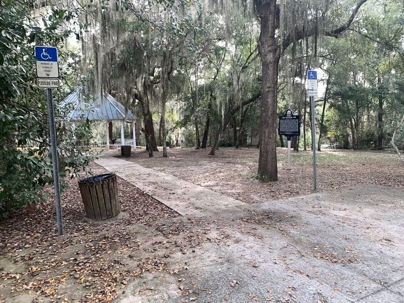
Location. 29° 46.853′ N, 82° 1.871′ W. Marker is in Keystone Heights, Florida, in Clay County. Marker can be reached from South Lawrence Boulevard (Florida Route 21) just south of Oriole Street. Marker is located in Keystone Heights Natural Park on the west side of FL 21. Touch for map. Marker is at or near this postal address: 500 South Lawrence Boulevard, Keystone Heights FL 32656, United States of America. Touch for directions.
Other nearby markers. At least 8 other markers are within 5 miles of this marker, measured as the crow flies. I am a Veteran (about 400 feet away, measured in a direct line); Magnolia Lake State Park (approx. 2.7 miles away); The Bellamy Road (approx. 3.7 miles away); Melrose Woman's Club (approx. 4.9 miles away); Melrose High School (approx. 5 miles away); Trinity Episcopal Church (approx. 5 miles away); Melrose (approx. 5 miles away); Melrose Civil War Memorial (approx. 5 miles away). Touch for a list and map of all markers in Keystone Heights.
Also see . . . Keystone Heights. (Submitted on January 19, 2023, by Tim Fillmon of Webster, Florida.)
Credits. This page was last revised on January 20, 2023. It was originally submitted on January 19, 2023, by Tim Fillmon of Webster, Florida. This page has been viewed 354 times since then and 95 times this year. Photos: 1. submitted on January 19, 2023, by Tim Fillmon of Webster, Florida. 2, 3, 4, 5. submitted on January 20, 2023, by Tim Fillmon of Webster, Florida.
