Near Hillsboro in Jefferson County, Missouri — The American Midwest (Upper Plains)
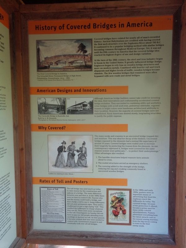
History of Covered Bridges in America
Photographed by Jason Voigt, August 31, 2022
1. History of Covered Bridges in America Marker
At the turn of the 20th century, the steel and iron industry began to boom in the United States. It greatly influenced bridge design. Engineers began to rely less on wooden bridge structures and more on modern metals. Combined with heavier rail and truck shipments and higher levels of traffic, wooden bridges became obsolete. The few wooden bridges that remained were often bypassed with new roads and metal bridges.
American Designs and Innovations
Although American bridge builders cannot take credit for inventing the idea, their innovations and craftsmanship accelerated covered bridge evolution. They succeeded in combining utility and aesthetics. A few bridges with scroll work trim, pedestrian
this page online
Why Covered?
The many nooks and crannies in an uncovered bridge trapped dirt and moisture. This was ideal for decay of the timbers. Uncovered bridges exposed to the elements had a normal life expectancy of around 10 years. Covered bridges were roofed over to increase their longevity by protecting the trusses from the elements. As one contemporary expressed it, bridges were covered for the same reasons women wore petticoats-"…to protect their underpinnings." Other advantages also resulted:
1. The barnlike structures helped reassure farm animals about to cross.
2. The roofed structures served as emergency shelters.
3. The covering added to the strength of the bridge, reducing the sag and creaking commonly found in uncovered wooden bridges.
Rates of Toll and Posters
The toll bridge was used much as today, to raise money for the construction and upkeep of a bridge. The
Photographed by Jason Voigt, August 31, 2022
2. History of Covered Bridges in America Marker
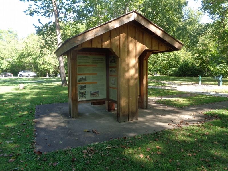
Marker is the panel on the right, facing the left direction at the kiosk.
In the 1800s and early 1900s, posters were an important means of advertising that lined the roadways much like billboards do today. The covered bridge, because of the protection it offered, became a prime spot for these richly colored advertisements. Posters advertised everything from the latest miracle cure to the newest sewing machine, from the big circus coming to town to the best turnip seeds.
Erected by Missouri State Parks.
Topics and series. This historical marker is listed in this topic list: Bridges & Viaducts.
Photographed by Jason Voigt, August 31, 2022
3. Sandy Creek Covered Bridge
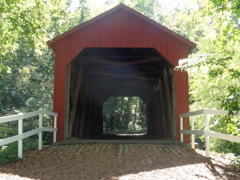
Marker is located at Sandy Creek Covered Bridge State Historic Site park.
Location. 38° 17.657′ N, 90° 31.554′ W. Marker is near Hillsboro, Missouri, in Jefferson County. It can be reached from Old Lemay Ferry Road. Marker is located at Sandy Creek Covered Bridge State Historic Site park. Touch for map. Marker is at or near this postal address: 9090 Old Lemay Ferry Rd, Hillsboro MO 63050, United States of America. Touch for directions.

Regionally, this marker is in the Missouri River Corridor and in Greater St. Louis. It is also in the American Midwest, in the Lewis & Clark Corridor, in the Corn Belt, and in the Great River Road Region. Globally, it is in North America, the Western Hemisphere, the Western World, and the Anglosphere. Historically, it finds itself in what was once the territory of the Mississippian Culture, the Louisiana Purchase, and the Antebellum South.
Other nearby markers. At least 8 other markers are within 5 miles of this marker, measured as the crow flies: Covered Bridges in Missouri (a few steps from this marker); History of Sandy Creek Covered Bridge (a few steps from this marker); Restoration of Sandy Creek Covered Bridge (a few steps from this marker); Jefferson County (approx. 4.8 miles away); To Commemorate the Removal Of the County Seat From Herculaneum (approx. 4.8 miles away); Jefferson County Veterans Memorial (approx. 4.8 miles away); The Veterans of all Wars From Jefferson County (approx. 4.8 miles away); Governor Thomas C. Fletcher House (approx. 4.9 miles away). Touch for a list and map of all markers in Hillsboro.
Credits. This page was last revised on January 21, 2023. It was originally submitted on January 21, 2023, by Jason Voigt of Glen Carbon, Illinois. This page has been viewed 473 times since then and 75 times this year. Photos: 1, 2, 3. submitted on January 21, 2023, by Jason Voigt of Glen Carbon, Illinois.
