Lafayette Park in Norfolk, Virginia — The American South (Mid-Atlantic)
Tsodilo Hills
| — | Okavango Delta | — |
Photographed by Brandon D Cross, January 19, 2023
1. Tsodilo Hills Marker
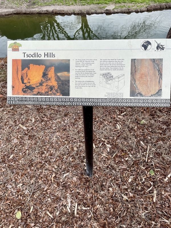
The !Kung people of the plains call the Tsodilo Hills the "Bracelets of the Morning.” (The exclamation point indicates a tongue click at the beginning of the word.)
For 2,000 years people have lived around the granite outcroppings that rise from the dry Kalahari plain. Some of the more ancient, now vanished people are known only from their paintings.
The modern tribe of HaMbukushu has a myth of creation that says that their god, Nyambi, let the first people down from heaven on a rope onto the Tsodilo Hills.
The creatures that inhabit the Tsodilo Hills have different adaptations than those that live just a few miles away on the plains. Small mammals, like hyraxes and mongooses thrive in the many hiding places provided by the rocky habitat. Their predators, like the leopard, hunt them by stealth and ambush.
(Captions)
Granite outcroppings characterize the Tsodilo Hills, copyright Frans Lanting/Minden Pictures
Sometimes, parts of she caril's crust move in opposite directions, creating a valley. The Okavango River flows through this type of valley with the granite outcroppings of the Todilo Hills forming part of the highlands to the west. copyright Joan Heausler
Ancient petroglyphs are all that remain from long vanished people. copyright L Aveo Torre
Erected by Virginia
this page online
Topics. This historical marker is listed in these topic lists: Notable Places • Settlements & Settlers.
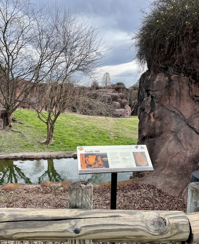
Location. 36° 52.823′ N, 76° 16.642′ W. Marker is in Norfolk, Virginia. It is in Lafayette Park. It can be reached from the intersection of Viburnam Avenue and Greenhouse Drive, on the left when traveling east. Marker located within the Virginia Zoo. Touch for map. Marker is at or near this postal address: 3500 Granby Street, Norfolk VA 23504, United States of America. Touch for directions.

Regionally, this marker is in Hampton Roads, specifically in Coastal Virginia, and in the Hampton Roads Metropolitan Area. It is also in the American South, specifically in the Upper South, in the Tidewater, and on the Eastern Seaboard. Globally, it is in the North Atlantic Region, North America, the Western Hemisphere, the Western World, and the Anglosphere. Historically, it finds itself in what was once the territory of the Mississippian Culture, one of the original Thirteen Colonies, one of the Confederate States of America, and the Antebellum South.
Other nearby markers. At
Photographed by Brandon D Cross, January 19, 2023
2. Tsodilo Hills Marker
Also see . . . Tsodilo. (Submitted on January 22, 2023, by Brandon D Cross of Flagler Beach, Florida.)
Additional keywords. Botswana, 🇧🇼
Credits. This page was last revised on June 21, 2025. It was originally submitted on January 22, 2023, by Brandon D Cross of Flagler Beach, Florida. This page has been viewed 291 times since then and 25 times this year. Photos: 1, 2. submitted on January 22, 2023, by Brandon D Cross of Flagler Beach, Florida. • Andrew Ruppenstein was the editor who published this page.
