Rancho Cordova in Sacramento County, California — The American West (Pacific Coastal)
Mills Station
"Along our Heritage Corridor"
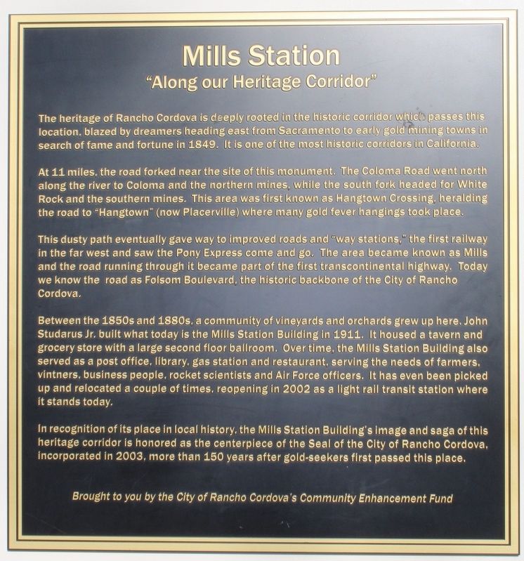
At 11 miles, the road forked near the site of this monument. The Coloma Road went north along the river to Coloma and the northern mines, while the south fork headed for White Rock and the southern mines. This area was first known as Hangtown Crossing, heralding the road to "Hangtown" (now Placerville) where many gold fever hangings took place.
This dusty path eventually gave way to improved roads and "way stations," the first railway in the far west and saw the Pony Express come and go. The area became known as Mills and the road running through it became part of the first transcontinental highway. Today we know the road as Folsom Boulevard, the historic backbone of the City of Rancho Cordova.
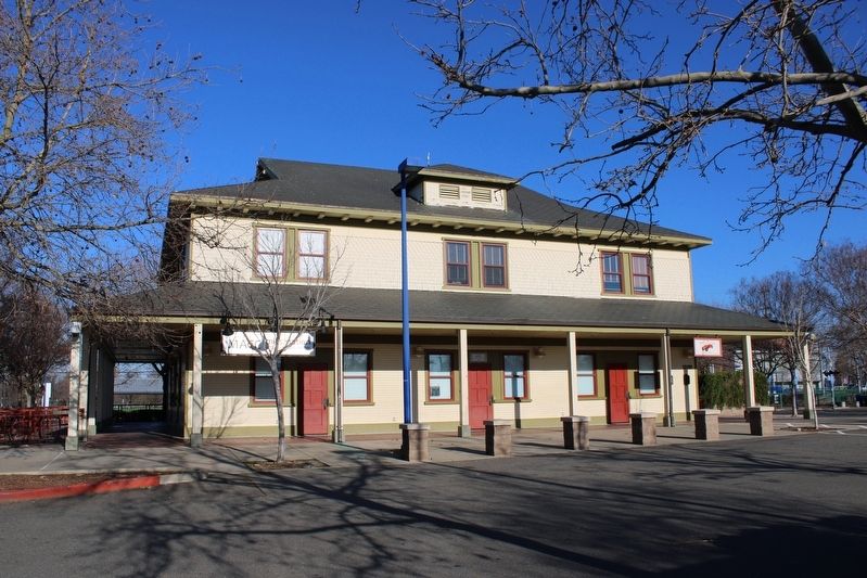
Between the 1850s and 1880s, a community of vineyards and orchards grew up here. John Studarus Jr. built what today is the Mills Station Building in 1911. It housed a tavern and grocery store with a large second floor ballroom. Over time, the Mills Station Building also served as a post office, library, gas station and restaurant, serving the needs of farmers, vintners, business people, rocket scientists and Air Force officers. It has even been picked up and relocated a couple of times, reopening in 2002 as a light rail transit station where it stands today.
In recognition of its place in local history, the Mills Station Building's image and saga of this heritage corridor is honored as the centerpiece of the Seal of the City of Rancho Cordova, incorporated in 2003, more than 150 years after gold-seekers first passed this place.
Brought to you by the City of Rancho Cordova's Community Enhancement Fund
Erected by City of Rancho Cordova.
Topics. This historical marker is listed in these topic lists: Railroads & Streetcars • Roads & Vehicles • Settlements & Settlers. A significant historical year for this entry is 1849.
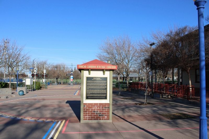
Location. 38° 35.055′ N, 121° 18.668′ W. Marker is in Rancho Cordova, California, in Sacramento County. Marker can be reached from Mills Station Road west of Mather Field Road, on the right when traveling west. The plaque is mounted to the south side of a kiosk in the Mills Station Plaza. Touch for map. Marker is at or near this postal address: 10191 Mills Station Road, Rancho Cordova CA 95670, United States of America. Touch for directions.
Other nearby markers. At least 8 other markers are within 3 miles of this marker, measured as the crow flies. Sacramento Valley Railroad (here, next to this marker); The Lincoln Highway (here, next to this marker); The Pony Express (a few steps from this marker); a different marker also named Pony Express (approx. 0.2 miles away); Mather Field (approx. 1.2 miles away); F-105G “Wild Weasel” (approx. 1.2 miles away); Edward Kelley School (approx. 2.1 miles away); American River Grange #172 (approx. 2.3 miles away). Touch for a list and map of all markers in Rancho Cordova.
Credits. This page was last revised on January 22, 2023. It was originally submitted on January 22, 2023, by Joseph Alvarado of Livermore, California. This page has been viewed 449 times since then and 92 times this year. Photos: 1, 2, 3. submitted on January 22, 2023, by Joseph Alvarado of Livermore, California.


