Falls Church, Virginia — The American South (Mid-Atlantic)
Citizens' Bridge
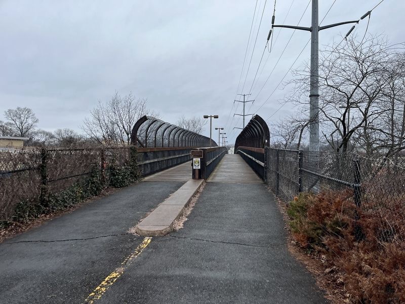
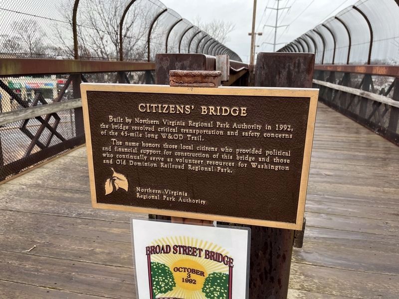
Built by Northern Virginia Regional Park Authority in 1992, the bridge resolved critical transportation and safety concerns of the 45-mile long W&OD Trail.
The name honors those local citizens who provided political and financial support for construction of this bridge and those who continually serve as volunteer resources for Washington and Old Dominion Railroad Regional Park.
Erected by Northern Virginia Regional Park Authority.
Topics and series. This historical marker is listed in these topic lists: Bridges & Viaducts • Charity & Public Work • Parks & Recreational Areas • Railroads & Streetcars. In addition, it is included in the NOVA Parks, and the Washington and Old Dominion (W&OD) Railroad series lists. A significant historical year for this entry is 1992.
Location. 38° 53.503′ N, 77° 11.112′ W. Marker is in Falls Church, Virginia. Marker is on Washington and Old Dominion Trail, 0.1 miles west of Grove Avenue, in the median. Touch for map. Marker is at or near this postal address: 1014 W Broad St, Falls Church VA 22046, United States of America. Touch for directions.
Other nearby markers. At least 8 other markers are within walking distance of this marker. This is the W&OD Trail! (within shouting distance of this marker); Tracks into History (within shouting distance of this marker); West Falls Church Station (about 300 feet away, measured in a direct line); History of "Gravel Bank" (approx. 0.3 miles away); David F. Strickler (approx. 0.4 miles away); Vietnam Memorial (approx. 0.4 miles away); Veterans Memorial (approx. 0.4 miles away); Original Site of Saint James Church (approx. 0.4 miles away). Touch for a list and map of all markers in Falls Church.

Photographed By Devry Becker Jones (CC0), January 22, 2023
2. Citizens' Bridge Marker
The plaque hangs at the eastern edge of the overpass. Please note that the bridge is divided for traffic direction for people walking and bicycling.

Photographed By Devry Becker Jones (CC0), January 22, 2023
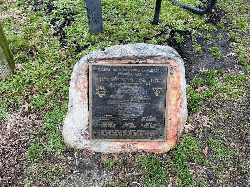
3. Dedication plaque for the trail overpass
Credits. This page was last revised on January 23, 2023. It was originally submitted on January 22, 2023, by Devry Becker Jones of Washington, District of Columbia. This page has been viewed 107 times since then and 17 times this year. Photos: 1, 2, 3. submitted on January 22, 2023, by Devry Becker Jones of Washington, District of Columbia.
