Coloma in El Dorado County, California — The American West (Pacific Coastal)
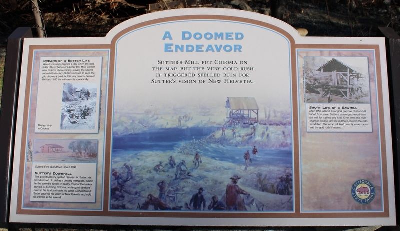
A Doomed Endeavor
Dreams of a Better Life
Would you work pennies a day when the gold fields offered hopes of a better life? Most workers near Coloma chose mining, leaving the sawmill understaffed – John Sutter tried to keep the gold discovery quiet for this very reason. Between 1848 and 1850 the mill ran only sporadically.
Inset Image:
Mining camp in Coloma.
Inset Image:
Sutter’s Fort, abandoned, about 1880.
Sutter’s Downfall
The gold discovery spelled disaster for Sutter. He had dreamed of building a bustling metropolis, fueled by the sawmill’s lumber. In reality, most of the lumber stayed in booming Coloma, while gold seekers overran his land and stole his cattle. Disheartened, Sutter gave up his vision of New Helvetia and sold his interest in the sawmill.
Short Life of a Sawmill
After 1850, without its original purpose, Sutter’s Mill faded from view. Settlers scavenged wood from the mill for cabins and fuel. Over time, the river changed course, and its sediment covered the mill’s foundation. The iconic mill lived on only in memory – and the gold rush it inspired.
Erected by California Department of Parks & Recreation.
Topics. This historical marker is listed in this topic list: Notable Places. A significant historical year for this entry is 1848.
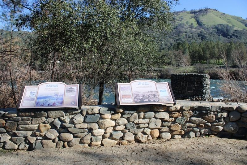
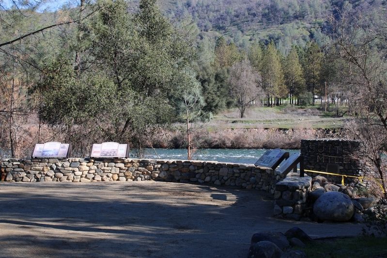
Location. 38° 48.206′ N, 120° 53.557′ W. Marker is in Coloma, California, in El Dorado County. Marker can be reached from Coloma Road (California Route 49) north of Mt Murphy Road. The resin panel is mounted to a stone masonry wall near the mill replica. Touch for map. Marker is in this post office area: Coloma CA 95613, United States of America. Touch for directions.
Other nearby markers. At least 8 other markers are within walking distance of this marker. Gold to be Found (here, next to this marker); Uncovering History (a few steps from this marker); The Spirit of the Gold Rush (a few steps from this marker); Sutter’s Mill Site (within shouting distance of this marker); Trees, River, Access (within shouting distance of this marker); Dreams of Success (within shouting distance of this marker); Partners In History (within shouting distance of this marker); Cutting Edge (within shouting distance of this marker). Touch for a list and map of all markers in Coloma.
Credits. This page was last revised on January 25, 2023. It was originally submitted on January 25, 2023, by Joseph Alvarado of Livermore, California. This page has been viewed 97 times since then and 23 times this year. Photos: 1, 2, 3. submitted on January 25, 2023, by Joseph Alvarado of Livermore, California.


