Clinton in Anderson County, Tennessee — The American South (East South Central)
Thomas Brown House
1940
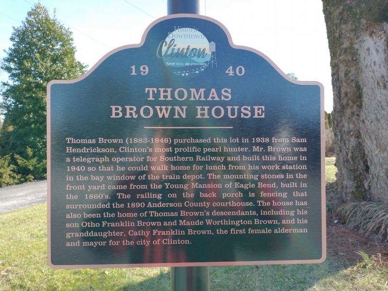
Photographed by Tom Bosse, January 28, 2023
1. Thomas Brown House Marker
Topics and series. This historical marker is listed in this topic list: Notable Buildings. In addition, it is included in the Tennessee, Clinton Historic Downtown series list. A significant historical year for this entry is 1938.
Location. 36° 6.285′ N, 84° 7.66′ W. Marker is in Clinton, Tennessee, in Anderson County. It is on Eagle Bend Road, on the right when traveling east. Touch for map. Marker is at or
this page online

Regionally, this marker is in East Tennessee and in Greater Knoxville. It is also in the American South, specifically in the Upper South, in Appalachia, and specifically in Southern Appalachia. Globally, it is in North America, the Western Hemisphere, the Western World, and the Anglosphere. Historically, it finds itself in what was once the original Cherokee Nation, the territory of the Mississippian Culture, one of the Confederate States of America, and the Antebellum South.
Other nearby markers. At least 8 other markers are within walking distance of this marker: Grotelueschen-Moxley-Haley House (within shouting distance of this marker); Train Depot (about 600 feet away, measured in a direct line); Eagle Bend (about 800 feet away); Dr. Samuel B. Hall Building (approx. 0.2 miles away); Ring-Davis Building (approx. 0.2 miles away); The Market Place of Pearls (approx. ¼ mile away); City of Pearls (approx. ¼ mile away); Leinart Co. Building (approx. ¼ mile away). Touch for a list and map of all markers in Clinton.
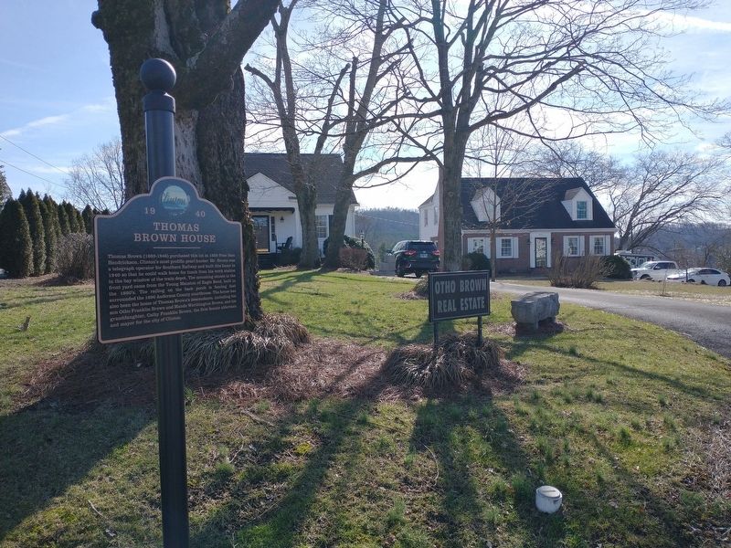
Photographed by Tom Bosse, January 28, 2023
2. Thomas Brown House Marker
Credits. This page was last revised on February 1, 2023. It was originally submitted on January 29, 2023, by Tom Bosse of Jefferson City, Tennessee. This page has been viewed 573 times since then and 58 times this year. Photos: 1, 2. submitted on January 29, 2023, by Tom Bosse of Jefferson City, Tennessee. • Bill Pfingsten was the editor who published this page.
