Marshall Gold Discovery State Historic Park in Coloma in El Dorado County, California — The American West (Pacific Coastal)
Hydraulic Mining
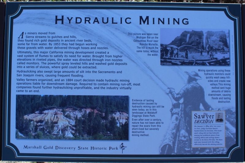
Hydraulicking also swept large amounts of silt into the Sacramento and San Joaquin rivers, causing frequent flooding.
Valley farmers organized, and an 1884 court decision made hydraulic mining operations liable for downstream damage. Required to contain mining run-off, most companies found further hydraulicking unprofitable, and the industry virtually came to an end.
Inset Images:
This picture was taken near Michigan Bar on the Consumnes River neat Rancho Murrieta. The hill is much the same today.
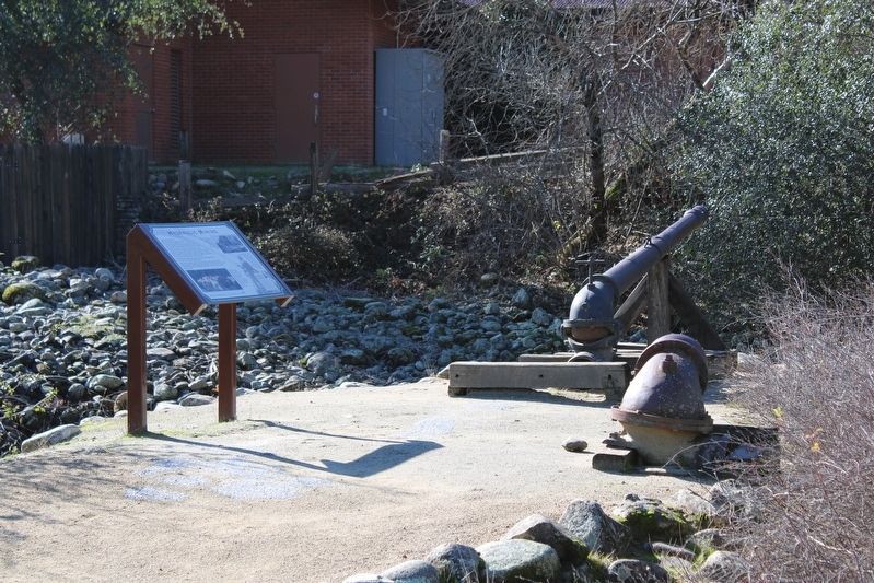
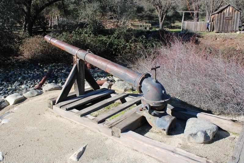
Mining operations using these hydraulic monitors could quickly was away hillsides and create new valleys. This mining method sent huge amounts of debris downstream, causing floods and lasting destruction.
Evidence of lasting destruction caused by hydraulic mining can still be seen today, as in this landscape at Malakoff Diggings State Park. Even after over a century, nature has not been able to repair the scars from this short-lived but severely destructive mining method.
The Sawyer Decision
On January 7, 1884, after two years in court, Judge Lorenzo Sawyer handed down his decision. This landmark ruling did not ban hydraulic mining but prohibited miners from sending debris and tailings downstream in the Sierra Nevada. The fines an costs instated with this ruling, effectively barred this mining practice.
Erected by California Department of Parks & Recreation.
Topics. This historical marker is listed in these topic lists: Environment • Industry & Commerce. A significant historical year for this entry is 1853.
Location. 38° 48.043′ N, 120° 53.529′ W. Marker is in Coloma, California, in El Dorado County. It is in Marshall Gold Discovery State Historic Park. Marker can be reached from Coloma Road (California Route 49) north of Mt Murphy Road. The resin marker is mounted to a metal stand on the Gold Discovery Loop Trail. Touch for map. Marker is in this post office area: Coloma CA 95613, United States of America. Touch for directions.
Other nearby markers. At least 8 other markers are within walking distance of this marker. Arrastre (a few steps from this marker); Placer Mining at Coloma (a few steps from this marker); Miner’s Cabin (within shouting distance of this marker); Chile Mill (within shouting distance of this marker); California Stamp Mill (within shouting distance of this marker); Nelson Bell (within shouting distance of this marker); The Diggins (within shouting distance of this marker); The World Rushed In (within shouting distance of this marker). Touch for a list and map of all markers in Coloma.
Credits. This page was last revised on March 25, 2023. It was originally submitted on January 29, 2023, by Joseph Alvarado of Livermore, California. This page has been viewed 132 times since then and 51 times this year. Photos: 1. submitted on January 29, 2023, by Joseph Alvarado of Livermore, California. 2, 3. submitted on January 30, 2023, by Joseph Alvarado of Livermore, California.


