Near Ruckersville in Greene County, Virginia — The American South (Mid-Atlantic)
Greene County
⎯⎯⎯
Madison County
Photographed by J. J. Prats, August 2, 2009
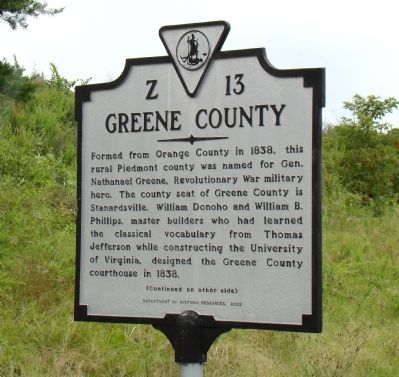
1. Greene County Face of Marker
Greene County. Formed from Orange County in 1838, this rural Piedmont county was named for Gen. Nathanael Greene, Revolutionary War military hero. The county seat of Greene County is Stanardsville. William Donoho and William B. Phillips, master builders who had learned the classical vocabulary from Thomas Jefferson while constructing the University of Virginia, designed the Greene County courthouse in 1838.
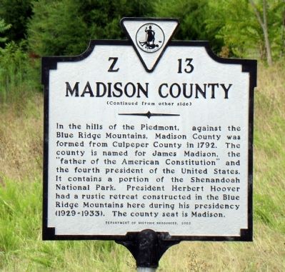
Madison County. In the hills of the Piedmont, against the Blue Ridge Mountains, Madison County was formed from Culpeper County in 1792. The county is named for James Madison, the “father of the American Constitution” and the fourth president of the United States. It contains a portion of the Shenandoah National Park. President Herbert Hoover had a rustic retreat constructed in the Blue Ridge Mountains here during his presidency (1929–1933). The county seat is Madison.
Erected 2002 by Department of Historic Resources. (Marker Number Z-13.)
Topics and series. This historical marker is listed in this topic list: Political Subdivisions. In addition, it is included in the Former U.S. Presidents: #03 Thomas Jefferson,
this page online
Location. 38° 16.7′ N, 78° 20.55′ W. Marker is near Ruckersville, Virginia, in Greene County. It is on Seminole Trail (U.S. 29) north of Fredericksburg Road (County Route 609), on the right when traveling north. Touch for map. Marker is in this post office area: Ruckersville VA 22968, United States of America. Touch for directions.

Regionally, this marker is in the Blue Ridge Highlands and in the Piedmont. It is also in the American South and specifically in the Upper South. Globally, it is in North America, the Western Hemisphere, the Western World, and the Anglosphere. Historically, it finds itself in what was once the territory of the Mississippian Culture, one of the original Thirteen Colonies, one of the Confederate States of America, and the Antebellum South.
Other nearby markers. At least 8 other markers are within 6 miles of this marker, measured as the crow flies: The Taylor House (approx. 3.2 miles away);
Photographed by J. J. Prats, August 2, 2009
2. Madison County Face of Marker
More about this marker. This marker replaced a marker from the 1930s with the same number and titles, but inscribed as follows.
Greene County. Area 155 Square Miles. Formed in 1838 from Orange, and named for General Nathanael Greene, commander of the Army of the South in the Revolutionary War.
Madison County. Area 324 Square Miles. Formed in 1792 from Culpeper, and named for James Madison, “Father of the American Constitution” and President of the United States. Governor Spotswoods exploring expedition passed here, 1716.
Photographed by J. J. Prats, August 2, 2009
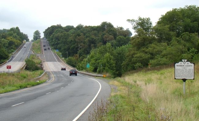
3. Greene County / Madison County Marker
Credits. This page was last revised on July 7, 2021. It was originally submitted on August 9, 2009, by J. J. Prats of Powell, Ohio. This page has been viewed 1,488 times since then and 45 times this year. Photos: 1, 2, 3. submitted on August 9, 2009, by J. J. Prats of Powell, Ohio.
