Rohrerstown in Lancaster in Lancaster County, Pennsylvania — The American Northeast (Mid-Atlantic)
Lancaster Area Refuse Authority
LARA 1954-1987
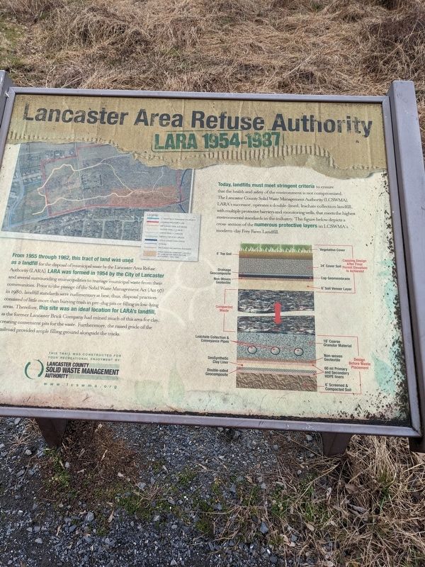
From 1955 through 1962, this tract of land was used as a landfill for the disposal of municipal waste by the Lancaster Area Refuse Authority (LARA). LARA was formed in 1954 by the City of Lancaster and several surrounding municipalities to manage municipal waste from their communities. Prior to the passage of the Solid Waste Management Act (Act 97) in 1980, landfill standards were rudimentary at best; thus disposal practices consisted of little more than burying trash in pre-dug pits or filing in low-lying areas. Therefore, this site was an ideal location for LARA's landfill as the former Lancaster Brick Company had mined much of this area for clay, creating convenient pits for the waste. Furthermore, the raised grade of the railroad provided ample filling ground alongside the tracks.
Today, landfills must meet stringent criteria to ensure that the health and safety of the environment is not compromised. The Lancaster County Solid Waste Management Authority (LCSWMA), LARA's successor, operates a double-lined, leachate collection landfill, with multiple protective barriers and monitoring wells, that meets the highest environmental standards in the industry. The figure below depicts a cross-section of the numerous protective layers in LCSWMA's modern-day Frey Farm Landfill.
Erected by Lcswma.
Topics. This historical marker is listed in these topic lists: Environment • Industry & Commerce. A significant historical year for this entry is 1954.
Location. 40° 3.334′ N, 76° 20.73′ W. Marker is in Lancaster, Pennsylvania, in Lancaster County. It is in Rohrerstown. Marker can be reached from Good Drive near Parklawn Court. This marker is located along a hiking trail approximately 1/4 mile from the parking area for Noel Dorwart Park. Touch for map. Marker is at or near this postal address: 1771 Wickersham Ln, Lancaster PA 17603, United States of America. Touch for directions.
Other nearby markers. At least 8 other markers are within 2 miles of this marker, measured as the crow flies. Lancaster Brick Company (about 700 feet away, measured in a direct line); 1717 (approx. 0.3 miles away); Pennsylvania Rifle (approx. half a mile away); Landis Mill Covered Bridge (1873) (approx. 0.9 miles away); Wheatland (approx. 1.1 miles away); The Frog Pond & West Meadow (approx. 1.1 miles away); The Outbuildings (approx. 1.1 miles away); Smokehouse / Icehouse (approx. 1.2 miles away). Touch for a list and map of all markers in Lancaster.
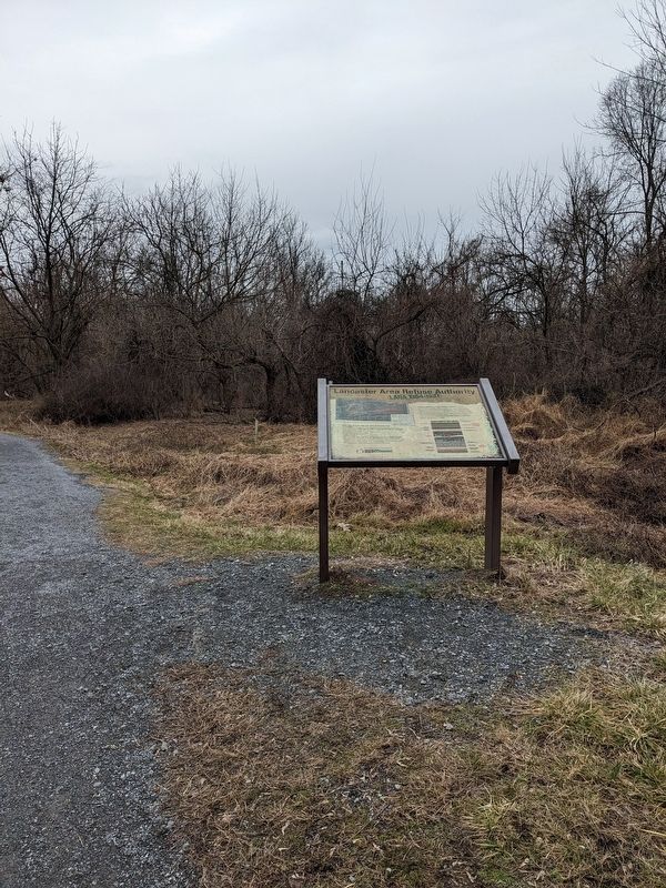
More about this marker. This marker can not be seen from any road.
Credits. This page was last revised on February 9, 2023. It was originally submitted on January 31, 2023, by William Pope of Marietta, Pennsylvania. This page has been viewed 70 times since then and 11 times this year. Photos: 1, 2. submitted on January 31, 2023, by William Pope of Marietta, Pennsylvania. • Bill Pfingsten was the editor who published this page.

