Coloma in El Dorado County, California — The American West (Pacific Coastal)
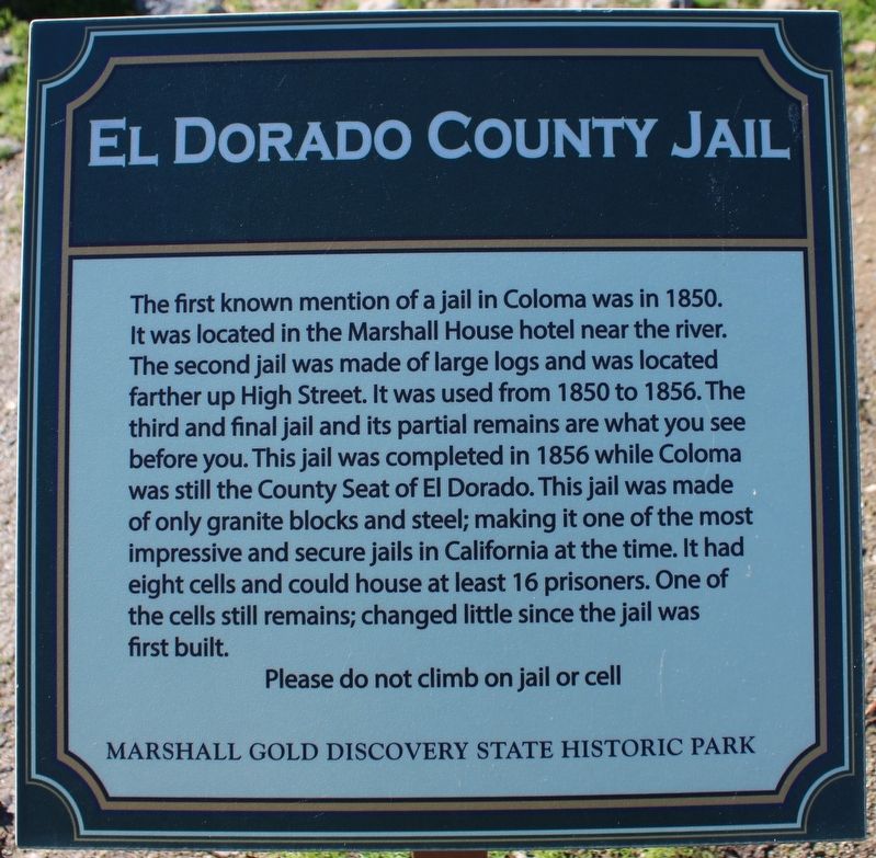
El Dorado County Jail
Photographed by Joseph Alvarado, January 21, 2023
1. El Dorado County Jail Marker
Please do not climb on jail or cell
Marshall Gold Discovery State Historic Park
Erected by California Department of Parks & Recreation.
Topics. This historical marker is listed in this topic list: Notable Buildings. A significant historical year for this entry is 1850.
Location. 38° 47.959′ N, 120° 53.462′ W. Marker is in Coloma, California, in El Dorado County. It is at the intersection of Back Street and Brewery Street, on the right when traveling south on Back Street.
this page online

Regionally, it is in North America, on the Ring of Fire, on the Pacific Rim, in the Western Hemisphere, in the Western World, and in the Anglosphere. Historically, it finds itself in what was once New Spain and also Mexico’s Alta California.
Other nearby markers. At least 8 other markers are within walking distance of this marker: Site of Coloma's Largest Brick Store (within shouting distance of this marker); Site of Joe Seeley Home Watchmaker (within shouting distance of this marker); Coloma Breweries (within shouting distance of this marker); Henry Mahler's Fruit Farm (within shouting distance of this marker); What Happened To All The Buildings? (about 300 feet away, measured in a direct line); G.J. Hazeltine's Daguerrean Gallery (about 300 feet away); Noteware-Thomas House (about 300 feet away); Beer Garden (about 300 feet away). Touch for a list and map of all markers in Coloma.
Other markers no longer nearby. El Dorado County Jails
Photographed by Joseph Alvarado, January 21, 2023
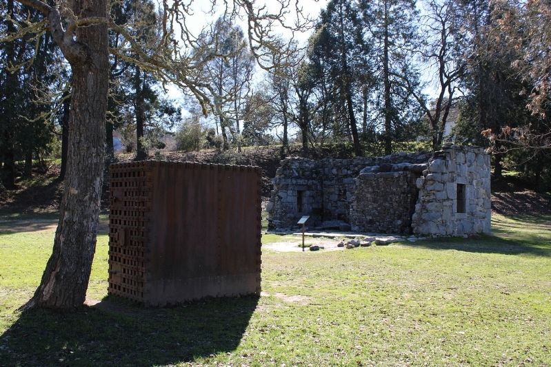
2. El Dorado County Jail Marker
Related marker. Click here for another marker that is related to this marker. A previous marker on the same subject.
Photographed by Joseph Alvarado, January 21, 2023
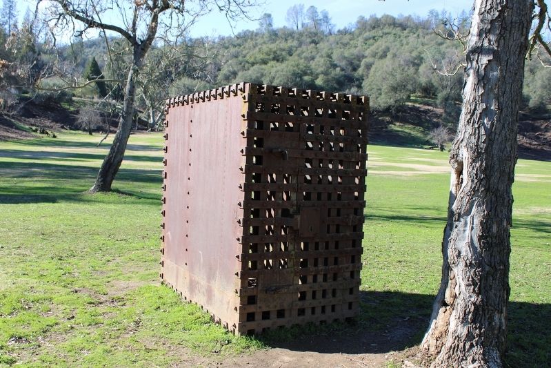
3. Metal Cage In Front Of The Stone Building
Photographed by Joseph Alvarado, January 21, 2023
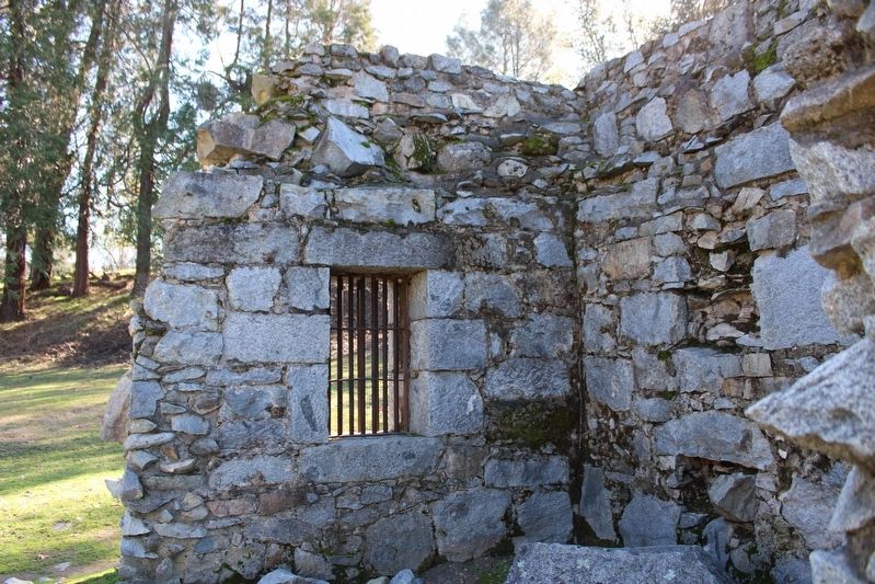
4. El Dorado County Jail
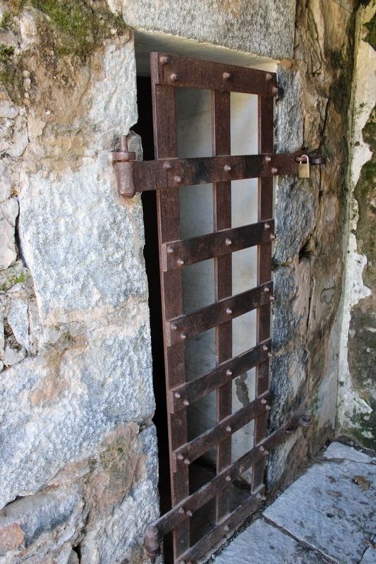
Photographed by Joseph Alvarado, January 21, 2023
5. El Dorado County Jail
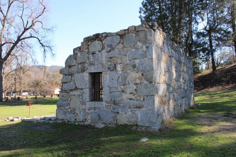
Photographed by Joseph Alvarado, January 21, 2023
6. El Dorado County Jail
Credits. This page was last revised on January 31, 2023. It was originally submitted on January 31, 2023, by Joseph Alvarado of Livermore, California. This page has been viewed 559 times since then and 48 times this year. Photos: 1, 2, 3, 4, 5, 6. submitted on January 31, 2023, by Joseph Alvarado of Livermore, California.
