St. Cloud in Osceola County, Florida — The American South (South Atlantic)
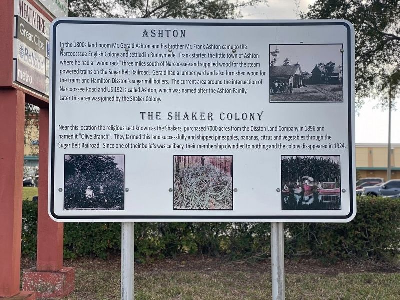
Ashton
In the 1800s land boom Mr.Gerald Ashton and his brother Mr.Frank Ashton came to the Narcoosssee English Colony and settled in Runnymede. Frank started the little town of Ashton where he had a "wood rack” three miles south of Narcoossee and supplied wood for the steam powered trains on the Sugar Belt Railroad. Gerald had a lumber yard and also furnished wood for the trains and Hamilton Disston's sugar mill boilers. The current area around the intersection of Narcoossee Road and US 192 is called Ashton, which was named after the Ashton Family. Later this area was joined by the Shaker Colony.
The Shaker Colony
Near this location the religious sect known as the Shakers, purchased 7000 acres from the Disston Land Company in 1896 and named it "Olive Branch". They farmed this land successfully and shipped pineapples, bananas, citrus and vegetables through the Sugar Belt Railroad. Since one of their beliefs was celibacy, their membership dwindled to nothing and the colony disappeared in 1924.
Topics and series. This historical marker is listed in these topic lists: Agriculture • Churches & Religion • Industry & Commerce • Settlements & Settlers. In addition, it is included in the Communal and Utopian Societies series list.
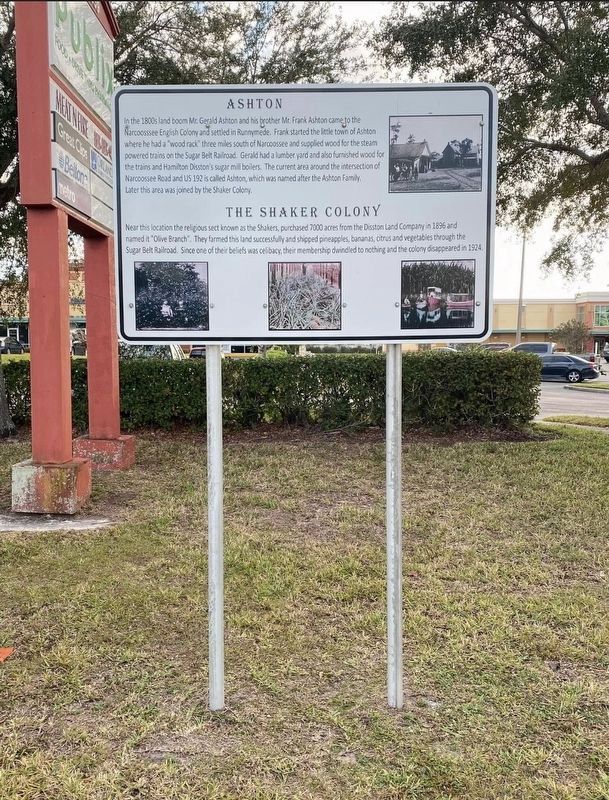
Location. 28° 14.888′ N, 81° 14.621′ W. Marker is in St. Cloud, Florida, in Osceola County. Marker is on Narcoossee Road (County Route 15) 0.1 miles north of E Irlo Bronson Memorial Highway (U.S. 192), on the right when traveling north. Sign is located under a Publix grocery store sign. Touch for map. Marker is at or near this postal address: 1951 S Narcoossee Rd, Saint Cloud FL 34771, United States of America. Touch for directions.
Other nearby markers. At least 8 other markers are within 3 miles of this marker, measured as the crow flies. Soldier City's Mount Peace Cemetery (approx. 1.1 miles away); Narcoossee Mill Ruins (approx. 1.8 miles away); Runnymede (approx. 2.1 miles away); Original Fire Department Garage (approx. 2.3 miles away); Horse Drawn Wagon (approx. 2.3 miles away); St. Cloud Veteran Fife and Drum Corps (approx. 2.4 miles away); Joyland Beach and Bathing Beauties (approx. 2.4 miles away); Old Mule Stable (approx. 2.4 miles away). Touch for a list and map of all markers in St. Cloud.
Credits. This page was last revised on February 15, 2023. It was originally submitted on February 2, 2023, by Diane Murphy of Saint Cloud, Florida. This page has been viewed 185 times since then and 40 times this year. Photos: 1. submitted on February 2, 2023, by Diane Murphy of Saint Cloud, Florida. 2. submitted on February 12, 2023, by Diane Murphy of Saint Cloud, Florida. • Bernard Fisher was the editor who published this page.

