Downtown in Boston in Suffolk County, Massachusetts — The American Northeast (New England)
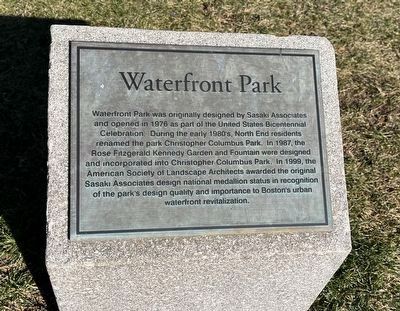
Waterfront Park
Topics. This historical marker is listed in these topic lists: Architecture • Parks & Recreational Areas. A significant historical year for this entry is 1976.
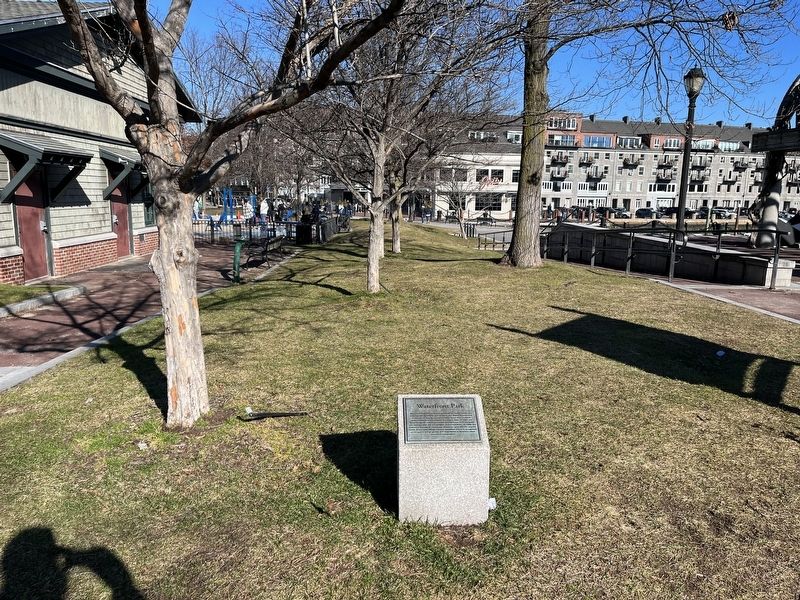
Location. 42° 21.685′ N, 71° 3.078′ W. Marker is in Boston, Massachusetts, in Suffolk County. It is in Downtown. Marker is on Christopher Columbus Park Path west of Harborwalk, on the right when traveling west. Touch for map. Marker is at or near this postal address: 110 Atlantic Ave, Boston MA 02110, United States of America. Touch for directions.
Other nearby markers. At least 8 other markers are within walking distance of this marker. Little Brewster Island (about 600 feet away, measured in a direct line); Boston Harbor Islands (about 600 feet away); Lovells Island (about 600 feet away); Georges Island (about 600 feet away); Bumpkin Island (about 600 feet away); Spectacle Island (about 600 feet away); Thompson Island (about 600 feet away); Peddocks Island (about 600 feet away). Touch for a list and map of all markers in Boston.
Additional keywords. landscape architecture
Credits. This page was last revised on January 27, 2024. It was originally submitted on February 4, 2023, by Devry Becker Jones of Washington, District of Columbia. This page has been viewed 85 times since then and 19 times this year. Photos: 1, 2. submitted on February 4, 2023, by Devry Becker Jones of Washington, District of Columbia.

