West Blocton in Bibb County, Alabama — The American South (East South Central)
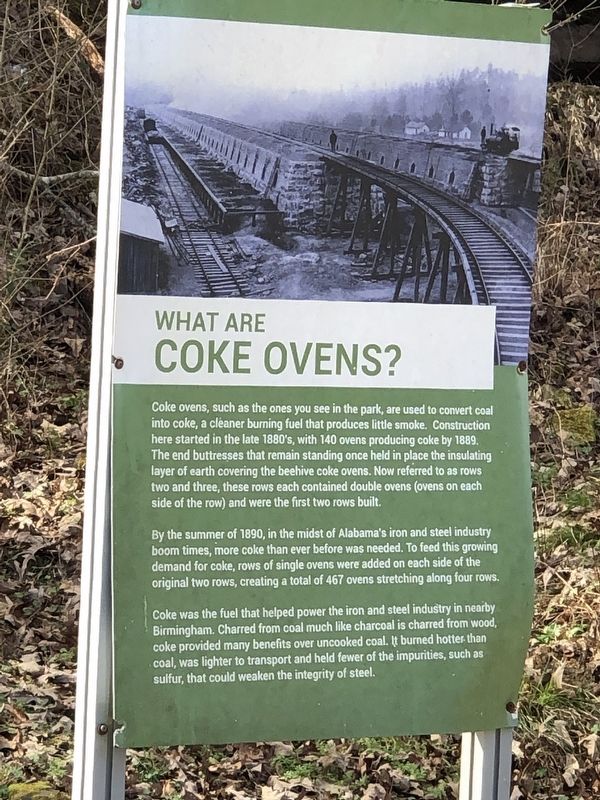
What Are Coke Ovens?
Photographed by Duane and Tracy Marsteller, February 4, 2023
1. What Are Coke Ovens? Marker
By the summer of 1890, in the midst of Alabama's iron and steel industry boom times, more coke than ever before was needed. To feed this growing demand for coke, rows of single ovens were added on each side of the original two rows, creating a total of 467 ovens stretching along four rows.
Coke was the fuel that helped power the iron and steel industry in nearby Birmingham. Charred from coal much like charcoal is charred from wood, coke provided many benefits over uncooked coal. It burned hotter than coal, was lighter to transport and held fewer of the impurities, such as sulfur, that could weaken the integrity of steel.
Topics. This
this page online
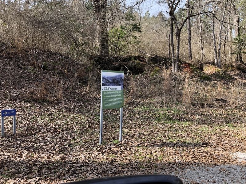
Location. 33° 7.075′ N, 87° 6.462′ W. Marker is in West Blocton, Alabama, in Bibb County. It can be reached from Blocton Bypass (County Road 24) west of Griffin Town Road, on the right when traveling west. Marker is in West Blocton Coke Ovens Park. Touch for map. Marker is in this post office area: West Blocton AL 35184, United States of America. Touch for directions.

Regionally, this marker is in the Birmingham Metropolitan Area. It is also in the American South, specifically in the Deep South, and in the Black Belt. Globally, it is in North America, a Gulf of Mexico state, the Western Hemisphere, the Western World, and the Anglosphere. Historically, it finds itself in what was once the territory of the Mississippian Culture, one of the Confederate States of America, and the Antebellum South.
Other nearby markers. At least 8 other markers are within 9 miles of this marker, measured as the crow flies: Welcome to West Blocton Coke Ovens Park (about 300 feet away, measured in a direct
Photographed by Duane and Tracy Marsteller, February 4, 2023
2. What Are Coke Ovens? Marker
Credits. This page was last revised on February 5, 2023. It was originally submitted on February 5, 2023, by Duane and Tracy Marsteller of Murfreesboro, Tennessee. This page has been viewed 622 times since then and 46 times this year. Photos: 1, 2. submitted on February 5, 2023, by Duane and Tracy Marsteller of Murfreesboro, Tennessee.
