Rogersville in Lauderdale County, Alabama — The American South (East South Central)
East End High School
1952-1967
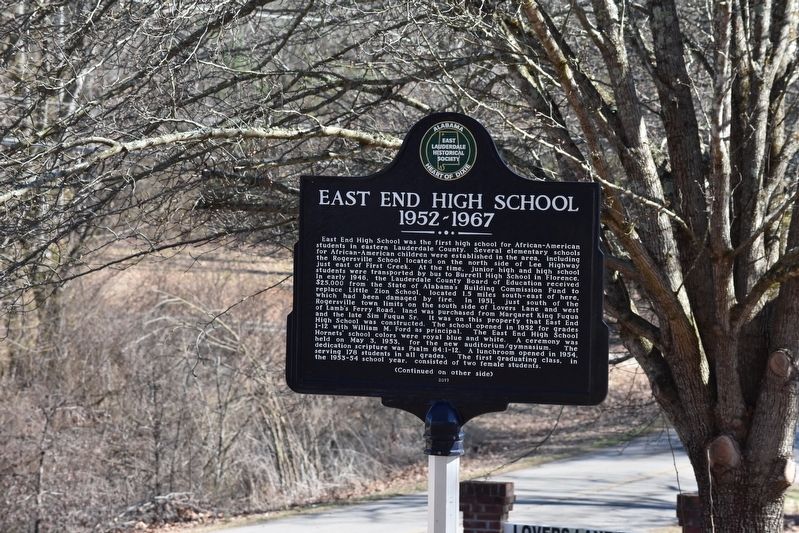
East End High School was the first school for African-American students in eastern Lauderdale County. Several elementary schools for Africian-American children were established in the area, including the Rogersville School located on the north side of Lee Highway just east of First Creek. At the time, Junior high and high school students were transported by bus to Burrel High School in Florence. In early 1946, the Lauderdale County Board of Education received $25,000 from the state of Alabama's building commission Fund to replace Little Zion School located 1.5 miles southeast of here, which had been damaged by fire. In 1951, just south of Rogersville town limits on the south side of Lovers Lane and west of Lamb's Ferry Road, the land was purchased from Margaret King Fuqua and the late Slim Fuqua Sr. It was on this property that East End High School was constructed. The school opened in 1952 for grades 1-12 with William M. Ford as principal. The East End High School was held on May 3, 1953, for the new auditorium/gymnasium. The dedication scripture was Psalm 84:1-12. A lunchroom opened in 1954, serving 178 students in all grades. The first graduating class, in the 1953-54 school year, consisted of two female students.
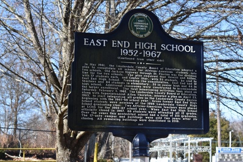
In May 1961, the Lauderdale County Board of Education adopted a plan to consolidate all schools for African-American students into two schools. Old Jackson Highway through St. Florian was the diving line for the two schools The plan required that Hewitt and Killen, with 17 students each, and Center Star, with 53 students be sent to East End High School. Preceding the consolidation, East end had teachers and 84 students in elementary, 55 in junior high, and 44 in high school. Additional classrooms were constructed to accommodate the larger enrollment. The first homecoming activities took place Saturday, February 3, 1962. The Lauderdale County Board of Education along with Superintendent fallen Thronton, adopted a plan on April 23, 1965, to start integrating all grades in the Lauderdale County System beginning with the 1965-66 school year. Seven former East End High School students were members of the 1966 Lauderdale County High School at LCHS for the 1966-67 school year. When East End High School officially closed in 1967, 88 students were attending all 12 grades. The 17-acre campus and building were sold two years after its closing. All remaining buildings were demolished in 2016.
Erected 2017.
Topics. This historical marker is listed in these topic lists: African Americans • Education. A significant historical year for this entry is 1954.
Location. 34° 48.639′ N, 87° 17.951′ W. Marker is in Rogersville, Alabama, in Lauderdale County. Marker is on Lovers Lane (County Route 610) west of Lambs Ferry Road, on the right when traveling east. Marker is located in Lovers Lane Park across the street from Little Zion MB Church. Touch for map. Marker is at or near this postal address: 916 Lovers Ln, Rogersville AL 35652, United States of America. Touch for directions.
Other nearby markers. At least 8 other markers are within 3 miles of this marker, measured as the crow flies. Lamb’s Ferry Road (approx. one mile away); Heritage Park (approx. 1.1 miles away); Rogersville Presbyterian Church in the U.S.A. (approx. 1.1 miles away); Return of a Native (approx. 1.2 miles away); Lauderdale County High School 1912 (approx. 1.2 miles away); General Joseph Wheeler (approx. 1.8 miles away); Samuel Burney: 1763-1849 Revolutionary War Veteran / Burneys Creek/First Creek Wheeler Lake (approx. 1.9 miles away); Bettie Anne Highway (approx. 2.8 miles away). Touch for a list and map of all markers in Rogersville.
Credits. This page was last revised on February 13, 2023. It was originally submitted on February 10, 2023, by Sandra Hughes Tidwell of Killen, Alabama, USA. This page has been viewed 283 times since then and 38 times this year. Photos: 1, 2. submitted on February 10, 2023, by Sandra Hughes Tidwell of Killen, Alabama, USA. • Devry Becker Jones was the editor who published this page.

