Enid in Garfield County, Oklahoma — The American South (West South Central)
United States Land Office
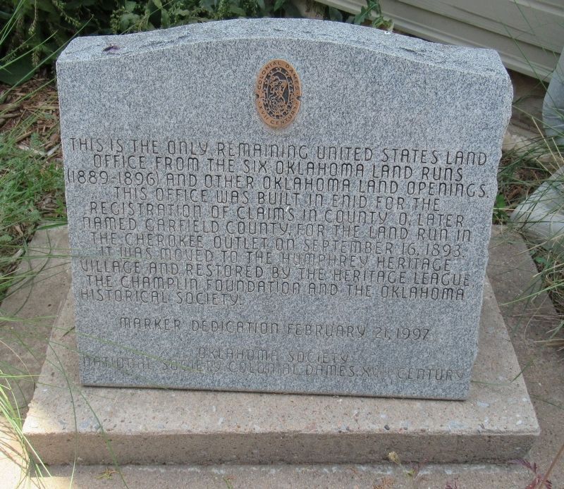
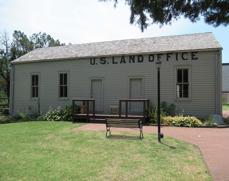
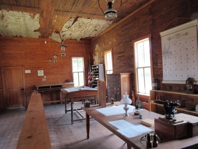
This is the only remaining United States Land Office from the six Oklahoma land runs (1889-1896) and other Oklahoma land openings. This office was built in Enid for the registration of claims in County O, later named Garfield County, for the land run in the Cherokee Outlet on September 16, 1893. It was moved to the Humphrey Heritage Village and restored by the Heritage League, The Champlin Foundation and the Oklahoma Historical Society.
Marker Dedication February 21, 1997.
Oklahoma Society, National Society Colonial Dames XVII Century
Erected 1997 by Oklahoma Society National Society Colonial Dames XVII Century.
Topics. This historical marker is listed in these topic lists: Architecture • Native Americans • Settlements & Settlers. A significant historical year for this entry is 1889.
Location. 36° 23.526′ N, 97° 52.367′ W. Marker is in Enid, Oklahoma, in Garfield County. Marker can be reached from South 4th Street north of Business U.S. 64, on the right when traveling north. The marker is located at the Cherokee Strip Regional Heritage Center. Touch for map. Marker is at or near this postal address: 507 S 4th St, Enid OK 73701, United States of America. Touch for directions.
Other nearby markers. At least 6 other markers are within 13 miles of this marker, measured as the crow flies. Government Springs (about 300 feet away, measured in a direct line); Pioneers: Past, Present and Future (approx. half a mile away); Jesse Chisholm (approx. 3.1 miles away); The Chisholm Trail (approx. 5 miles away); The Missouri Compromise (approx. 7˝ miles away); Buffalo Springs (approx. 12.3 miles away).
Credits. This page was last revised on February 11, 2023. It was originally submitted on February 11, 2023, by Jason Armstrong of Talihina, Oklahoma. This page has been viewed 81 times since then and 18 times this year. Photos: 1, 2, 3. submitted on February 11, 2023, by Jason Armstrong of Talihina, Oklahoma. • J. Makali Bruton was the editor who published this page.


