Eltham in New Kent County, Virginia — The American South (Mid-Atlantic)
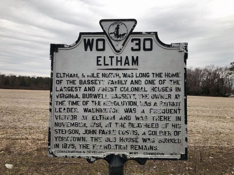
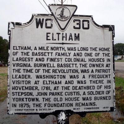
Eltham
Erected 1930 by Conservation & Development Commission. (Marker Number WO-30.)
Topics and series. This historical marker is listed in these topic lists: Notable Buildings • Patriots & Patriotism. In addition, it is included in the Virginia Department of Historic Resources (DHR), and the Washington’s Burgess Routes series lists. A significant historical month for this entry is November 1781.
Location. 37° 31.189′ N, 76° 49.902′ W. Marker is in Eltham, Virginia, in New Kent County. Marker is on Eltham Road (Virginia Route 33) 0.1 miles south of Virginia Avenue, on the right when traveling south. Touch for map. Marker is at or near this postal address: 18600 Eltham Rd, West Point VA 23181, United States of America. Touch for directions.
Other nearby markers. At least 8 other markers are within 2 miles of this marker, measured as the crow flies. Peninsula Campaign (here, next to this marker); New Kent County (a few steps from this marker); The Brick House (a few steps from this marker); Battle of Eltham’s Landing (approx. 0.8 miles away); a different marker also named Battle of Eltham's Landing (approx. 1.3 miles away); Mt. Nebo Baptist Church (approx. 2 miles away); Home of Signer (approx. 2.1 miles away); The Grove Hotel (approx. 2.1 miles away). Touch for a list and map of all markers in Eltham.
Also see . . .
1. VintageDesigns.com. Eltham. (Submitted on April 3, 2009.)
2. Bassett Family Association. Newsletter, May 2005. Bassett family of Eltham, New Kent County, Virginia. (Submitted on April 3, 2009.)

Photographed By Devry Becker Jones (CC0), February 26, 2021
2. Eltham Marker
The marker has significantly weathered.
Credits. This page was last revised on November 10, 2021. It was originally submitted on April 3, 2009, by Bernard Fisher of Richmond, Virginia. This page has been viewed 1,532 times since then and 64 times this year. Last updated on August 13, 2009, by Kathleen Black of Woodbridge, Virginia. Photos: 1. submitted on April 3, 2009, by Bernard Fisher of Richmond, Virginia. 2. submitted on March 2, 2021, by Devry Becker Jones of Washington, District of Columbia. 3. submitted on April 3, 2009, by Bernard Fisher of Richmond, Virginia. • Kevin W. was the editor who published this page.

