Intercession City in Osceola County, Florida — The American South (South Atlantic)
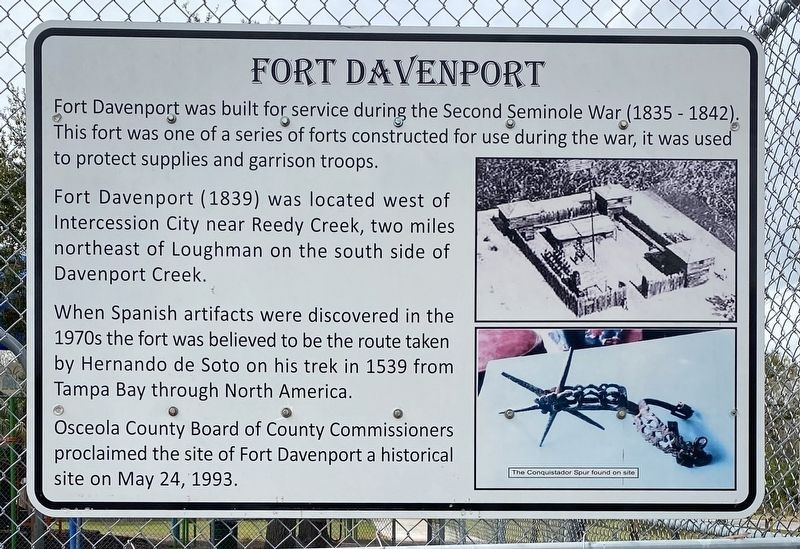
Fort Davenport
Fort Davenport (1839) was located west of Intercession City near Reedy Creek, two miles northeast of Loughman on the south side of Davenport Creek.
When Spanish artifacts were discovered in the 1970s the fort was believed to be the route taken by Hernando de Soto on his trek in 1539 from Tampa Bay through North America.
Osceola County Board of County Commissioners proclaimed the site of Fort Davenport a historical site on May 24, 1993.
Caption The Conquistador Spur found on site
Topics. This historical marker is listed in these topic lists: Exploration • Forts and Castles • Wars, US Indian. A significant historical year for this entry is 1839.
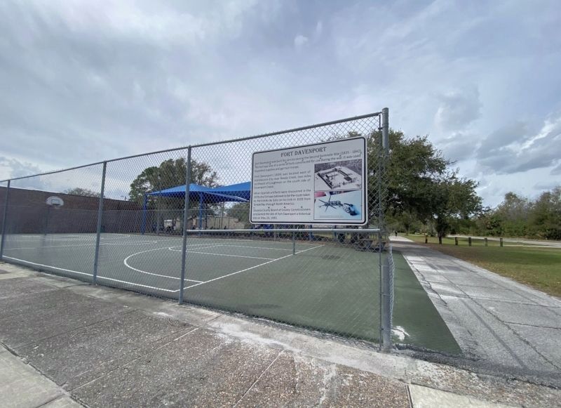
Location. 28° 15.762′ N, 81° 30.498′ W. Marker is in Intercession City, Florida, in Osceola County. Marker is on Tallahassee Boulevard south of Old Tampa Highway, on the right when traveling south. This marker is located on a chain link fence surrounding a tennis court adjacent to the Intercession City post office. Touch for map. Marker is at or near this postal address: 1538 Tallahassee Blvd, Intercession City FL 33848, United States of America. Touch for directions.
Other nearby markers. At least 8 other markers are within 5 miles of this marker, measured as the crow flies. Intercession City (within shouting distance of this marker); Campbell City (approx. 2.8 miles away); Shingle Creek (approx. 4˝ miles away); Fletcher Park (approx. 4.6 miles away); Petrified Wood (approx. 4.6 miles away); Lanier Legacy (approx. 4.9 miles away); Raymond V. Lanier: A Progressive Farmer (approx. 5 miles away); A Working Yard (approx. 5 miles away).
Credits. This page was last revised on May 27, 2023. It was originally submitted on February 12, 2023, by Diane Murphy of Saint Cloud, Florida. This page has been viewed 170 times since then and 42 times this year. Photos: 1. submitted on February 12, 2023, by Diane Murphy of Saint Cloud, Florida. 2. submitted on May 26, 2023, by Diane Murphy of Saint Cloud, Florida. • Bernard Fisher was the editor who published this page.

