Near Woodland in Kankakee County, Illinois — The American Midwest (Great Lakes)
Walter Andrew and George Hess, Pioneers
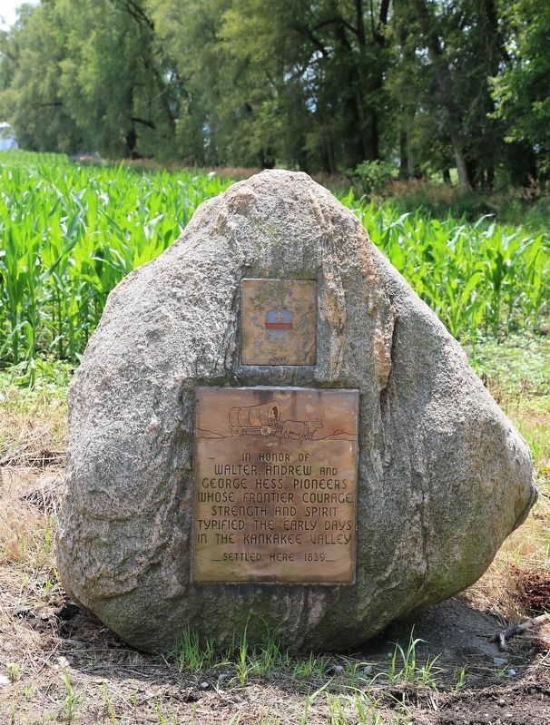
Photographed by J. J. Prats, July 10, 2017
1. Walter Andrew and George Hess, Pioneers Monument
Topics. This historical marker is listed in this topic list: Settlements & Settlers. A significant historical year for this entry is 1839.
Location. 41° 9.154′ N, 87° 35.574′ W. Marker is near Woodland, Illinois, in Kankakee County. It is on County Road N 232 East (Illinois Route 114) 0.1 miles east of Local Road N14500E, on the right when traveling east. Touch for map. Marker is at or near this postal address: 13591 Highway 114, Momence IL 60954, United States of America. Touch for directions.

Regionally, this marker is in Central Illinois. It is also in the American Midwest and in the Corn Belt. Globally, it is in North America, on the Great Lakes, in the Western Hemisphere, in the Western World, and in the Anglosphere. Historically, it finds itself in what was once the territory of the Mississippian Culture and also the Northwest Territory.
Other nearby markers. At least 8 other markers are within 14 miles of this marker, measured as the crow
this page online
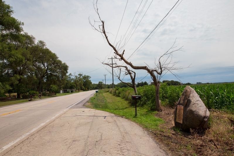
Photographed by J. J. Prats, July 10, 2017
2. Walter Andrew and George Hess Monument
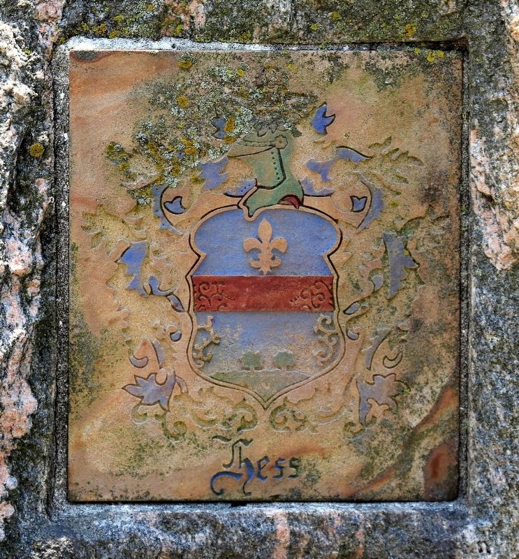
Photographed by J. J. Prats, July 10, 2017
3. Hess Crest on the Monument
Credits. This page was last revised on February 16, 2023. It was originally submitted on July 19, 2017, by J. J. Prats of Powell, Ohio. This page has been viewed 661 times since then and 45 times this year. Last updated on February 13, 2023, by Cheryl Hess of Momence, Illinois. Photos: 1, 2, 3. submitted on July 19, 2017, by J. J. Prats of Powell, Ohio. • Devry Becker Jones was the editor who published this page.
