Clawson in Oakland County, Michigan — The American Midwest (Great Lakes)
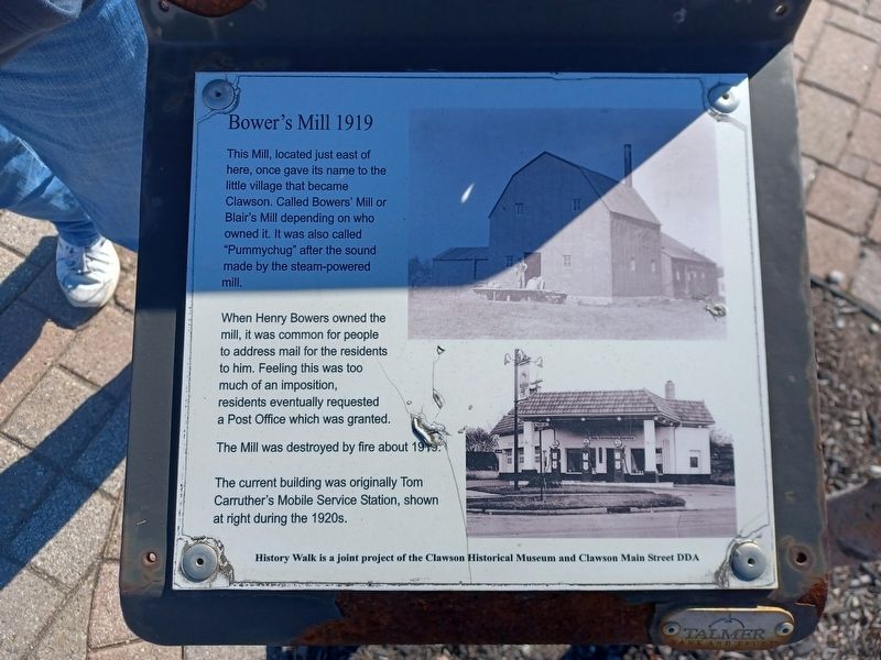
Bower's Mill 1919
Downtown Clawson History Walk
This Mill, located just east of here, once gave its name to the little village that became Clawson. Called Bowers' Mill or Blair's Mill depending on who owned it. It was also called "Pummychug" after the sound made by the steam-powered mill.
When Henry Bowers owned the mill, it was common for people to address mail for the residents to him. Feeling this was too much of an imposition, residents eventually requested a Post Office which was granted.
The Mill was destroyed by fire about 1919.
The current building was originally Tom Carruther's Mobile Service Station, shown at right during the 1920s.
History Walk is a joint project of the Clawson Historical Museum and Clawson Main Street DDA
Erected by Clawson Historical Museum and Clawson Main Street DDA.
Topics. This historical marker is listed in this topic list: Industry & Commerce. A significant historical year for this entry is 1919.
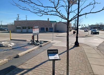
Location. 42° 32.073′ N, 83° 8.776′ W. Marker is in Clawson, Michigan, in Oakland County. Marker is at the intersection of North Main Street and Bowers Street, on the right when traveling north on North Main Street. Touch for map. Marker is at or near this postal address: 150 North Main Street, Clawson MI 48017, United States of America. Touch for directions.
Other nearby markers. At least 8 other markers are within walking distance of this marker . 20th Century Progress (within shouting distance of this marker); Interurban Railroads in Michigan 1899-1931 (within shouting distance of this marker); The Interurban 1899-1931 (about 300 feet away, measured in a direct line); 1 East 14 Mile (about 300 feet away); The Evolution of a Corner, 1860-1940 (about 400 feet away); East 14 Mile — the Clawson Road (about 400 feet away); Evolution of a Corner, 1900-1940 (about 500 feet away); Clawson State Savings Bank (about 500 feet away). Touch for a list and map of all markers in Clawson.
Credits. This page was last revised on February 14, 2023. It was originally submitted on February 14, 2023, by Joel Seewald of Madison Heights, Michigan. This page has been viewed 72 times since then and 8 times this year. Photos: 1, 2. submitted on February 14, 2023, by Joel Seewald of Madison Heights, Michigan.

