Portland in Dorset, England, United Kingdom — Northwestern Europe (the British Isles)
A Brief History
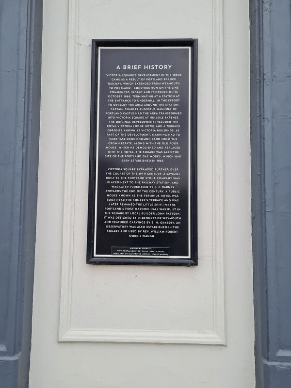
Photographed by Stephen Palmer, November 20, 2021
1. A Brief History Marker
Victoria Square's development in the 1860 came as a result of Portland Branch Railway, which extended from Weymouth to Portland. Construction on the line commenced in 1860 and it opened on 16 October 1865. Terminating at a station at the entrance to Underhill in the effort to develop the area around the station. Captain Charles Augustus Manning of Portland Castle had the area transformed into Victoria Square at his sole expense the original development included the Royal Victoria Lodge Hotel and a terrace opposite known as Victoria Buildings. As part of the development, Manning had to purchase some common land from the Crown Estate, along with the old poor house, which he demolished and replaced with the hotel. The square was also the site of the Portland Gas Works, which had been established in 1863.
Victoria Square expanded further over the course of the 19th century, a sawmill built by the Portland Stone Company was placed next to the railway station, and was later purchased by F. J. Barnes towards the end of the century. A public house known as the Terminus Hotel was built near the square's
this page online
Topics. This historical marker is listed in this topic list: Industry & Commerce. A significant historical date for this entry is October 16, 1865.
Location. 50° 33.761′ N, 2° 26.964′ W. Marker is in Portland, England, in Dorset. It is on Chiswell, on the left when traveling north. Touch for map. Marker is at or near this postal address: 6 Chiswell, Portland, England DT5 1AL, United Kingdom. Touch for directions.

Regionally, this marker is in South West England. Globally, it is on the Atlantic Ocean, in the North Atlantic Region, in Europe, in Atlantic Europe, on one of the British Isles, in the Western World, and in the Anglosphere. Historically, it finds itself in what was once the Roman Empire.
Other nearby markers. At least 8 other markers are within 18 kilometers of this marker, measured as the crow flies:
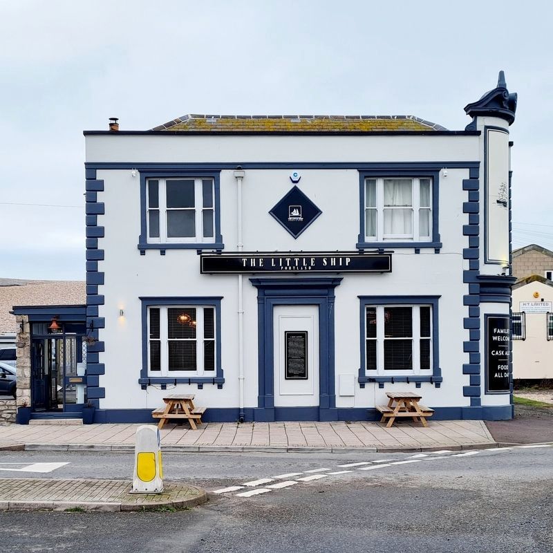
Photographed by Stephen Palmer, November 20, 2021
2. The Little Ship Pub and Marker
More about this marker. The marker is mounted to the exterior of the Little Ship Inn.
Credits. This page was last revised on April 2, 2023. It was originally submitted on February 16, 2023, by Stephen Palmer of Ascot, England. This page has been viewed 271 times since then and 42 times this year. Photos: 1. submitted on February 16, 2023, by Stephen Palmer of Ascot, England. 2. submitted on April 2, 2023, by Stephen Palmer of Ascot, England. • Andrew Ruppenstein was the editor who published this page.
