
Sayre in Bradford County, Pennsylvania — The American Northeast (Mid-Atlantic)
The Lehigh and Early Sayre

Photographed by Cosmos Mariner, May 19, 2022
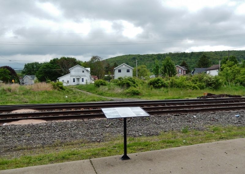
1. The Lehigh and Early Sayre Marker
The Victorian-era, Queen Ann architectural style Sayre Passenger Station, built in 1881 for the Lehigh Valley Railroad, was adjacent to the very ornate three-story brick Seneca Division Office Building, constructed in 1876. Image No. 1 shows the two buildings with the Sayre railroad yards in the foreground. While the Passenger Station survives and today is the museum of the Sayre Historical Society, the Division Office (Image No. 2) was demolished in 1946. During W.W. II, it was used as the headquarters for the famous Sayre Canteen where volunteers from the community served 621,000 members of the military who were transported on troop trains stopping at the Sayre Passenger Station of the LVRR.
Sayre's earliest development was along North and South Thomas Avenue on the East Side of Sayre (Image No. 3) and the two blocks of homes further toward the Susquehanna River. Accordingly, this made East Side the oldest part of Sayre outside of Milltown. All the first businesses and hotels were along Thomas Avenue. Soon Sayre's expansion and growth was on the opposite side of the tracks along the Desmond Street area and beyond.
An
this page online
Sayre's Milltown predated Sayre by nearly 100 years. Its history dates to 1783 with the building of a gristmill along Shepard Creek in Milltown. Altogether, nine mills operated on that creek from Milltown to Factoryville (East Waverly). All were powered by water wheels turned by the rapidly moving water formed by dams and millraces along the creek. The first gristmill was sold in 1788 and became John Shepard's Mill seen in Image No. 5. For several decades Milltown was a center for industry and trade. In addition to various mills, the community included a school and schoolmaster, physician, tanner, shoemaker, blacksmith, deerskin leather dresser, distillery, post office, and cemetery.
![Marker detail: Sayre Passenger Station [left] (<i>image 1</i>) image. Click for full size.](Photos7/706/Photo706641.jpg?2172023111600PM "Marker detail: Sayre Passenger Station [left] (<i>image 1</i>). Click for full size.")
2. Marker detail: Sayre Passenger Station [left] (image 1)
West Sayre on the old Milltown Road between Athens and Milltown grew apart from but with Sayre. Image No. 6 shows South Keystone Avenue near Lincoln Street in the early 1900s. Service by the Waverly, Sayre & Athens Trolley tied it to Sayre's downtown when needed. Otherwise, it was a community within itself. At one time a variety of businesses provided all the essentials including a pharmacy. A constable provided policing, a fire station gave fire protection, and the Fourth Ward School and College Hill School educated children to grade eight. A corner church and Substation No. 1 of the Sayre Post Office completed the community.
Topics. This historical marker is listed in these topic lists: Architecture • Industry & Commerce • Railroads & Streetcars • Settlements & Settlers. A significant historical year for this entry is 1881.
Location. 41° 58.86′ N, 76° 30.846′ W. Marker is in Sayre, Pennsylvania, in Bradford County. It can be reached from South Lehigh Avenue just south of Desmond Street, on the left when traveling south. Marker is located on the east

3. Marker detail: Thomas Avenue (image 3)

Regionally, this marker is in the American Northeast and in the Mid-Atlantic. Globally, it is in North America, the Western Hemisphere, the Western World, and the Anglosphere. Historically, it finds itself in what was once the Haudenosaunee (Iroquois) Confederacy and also one of the original Thirteen Colonies.
Other nearby markers. At least 8 other markers are within walking distance of this marker: Passenger Station, Footbridge, and Black Diamond (a few steps from this marker); Parks, Canteen & Schools (a few steps from this marker); Sayre, A Boomtown (a few steps from this marker); The Lehigh Valley Railroad Comes to Sayre (within shouting distance of this marker); A Horse Town, the Freight Station, and the Desmond Street Clock (within shouting distance of this marker); Sayre-Built Caboose Returns to Museum (within shouting distance of this marker); Sayre Borough Hall (about

4. Marker detail: Sayre Water Company (image 4)
Related markers. Click here for a list of markers that are related to this marker.
Photographed by Cosmos Mariner, May 19, 2022
5. The Lehigh and Early Sayre Marker

Photographed by Cosmos Mariner, May 19, 2022
6. Lehigh Valley Railroad Passenger Station (built 1881) (southwest elevation)
Credits. This page was last revised on February 18, 2023. It was originally submitted on February 17, 2023, by Cosmos Mariner of Cape Canaveral, Florida. This page has been viewed 825 times since then and 98 times this year. Photos: 1, 2, 3, 4, 5, 6. submitted on February 17, 2023, by Cosmos Mariner of Cape Canaveral, Florida.
