Thelka in San Antonio in Bexar County, Texas — The American South (West South Central)
Captain Richard Andrews
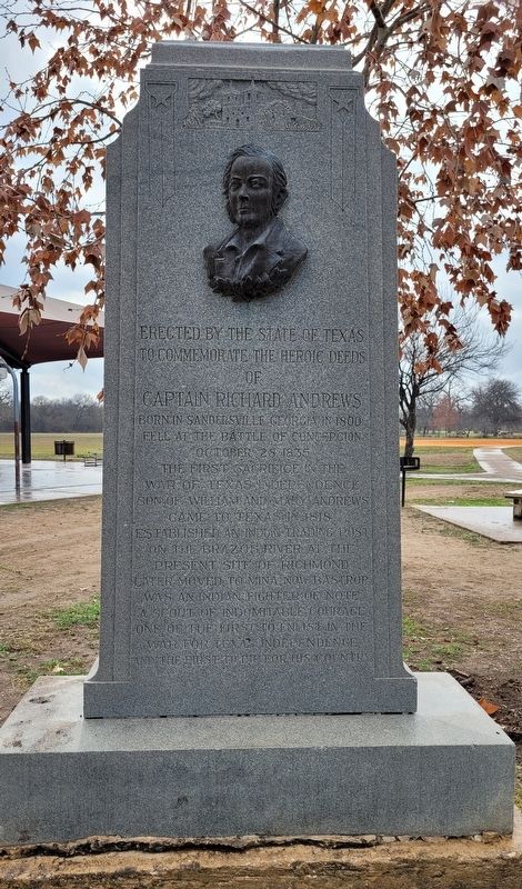
to Commemorate the Heroic Deeds
of
Captain Richard Andrews
Born in Sandersville Georgia in 1800.
Fell at the Battle of Concepcion
October 28, 1835.
The first sacrifice in the
War of Texas Independence.
Son of William and Mary Andrews.
Came to Texas in 1818.
Established an Indian Trading Post
on the Brazos River at the
present site of Richmond.
Later moved to Mina, now Bastrop.
Was an Indian fighter of note.
A scout of indomitable courage.
One of the first to enlist in the
War for Texan Independence,
and the first to die for his country.
Erected 1932 by State of Texas.
Topics. This historical marker is listed in these topic lists: War, Texas Independence • Wars, US Indian. A significant historical date for this entry is October 28, 1835.
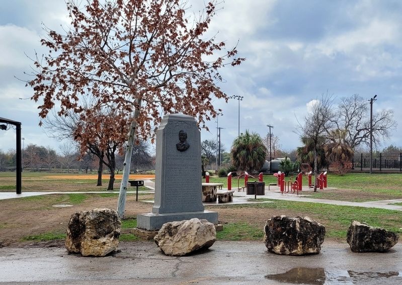
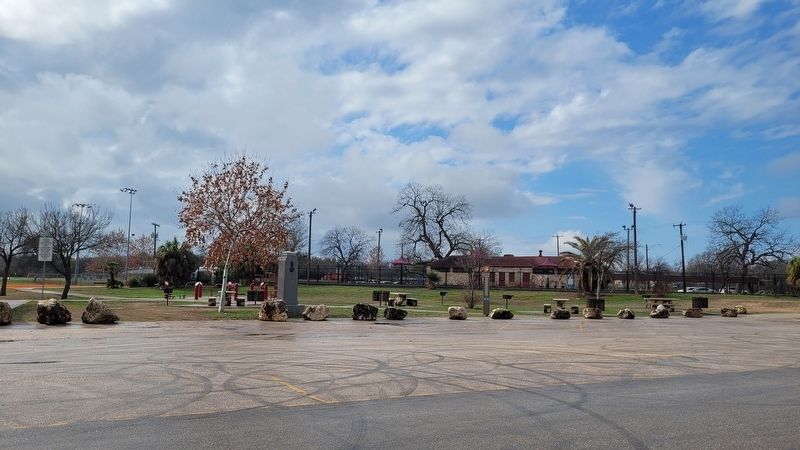
Location. 29° 23.392′ N, 98° 29.832′ W. Marker is in San Antonio, Texas, in Bexar County. It is in Thelka. Marker is on Theo Parkway, 0.3 miles west of Mission Road, on the left when traveling west. The marker is located in the northwestern section of the Concepción Park near the swimming pool. Touch for map. Marker is in this post office area: San Antonio TX 78210, United States of America. Touch for directions.
Other nearby markers. At least 8 other markers are within walking distance of this marker. The San Antonio Missions World Heritage Site (about 500 feet away, measured in a direct line); Mission Nuestra Señora de la Purísima Concepción (about 500 feet away); San Antonio River Tributaries (about 500 feet away); The Concepción Neighborhood (about 600 feet away); Water for the Concepción Community (about 600 feet away); Concepción Park (about 600 feet away); The River Landscape (about 600 feet away); Missions in the San Antonio River Valley (about 600 feet away). Touch for a list and map of all markers in San Antonio.
Also see . . . Andrews, Richard (ca. 1797–1835). Texas State Historical Association (Submitted on February 17, 2023, by James Hulse of Medina, Texas.)
Credits. This page was last revised on February 17, 2023. It was originally submitted on February 17, 2023, by James Hulse of Medina, Texas. This page has been viewed 96 times since then and 13 times this year. Photos: 1, 2, 3. submitted on February 17, 2023, by James Hulse of Medina, Texas.


