Palacio in Madrid, Spain — Southwestern Europe (Iberian Peninsula)
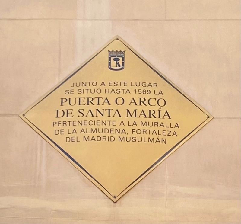
Puerto o Arco de Santa Maria
se situó hasta 1569 la
Puerta o Arco
de Santa María
perteneciente a la muralla
de la Almudena, fortaleza
del madrid musulmán
Next to this place until 1569 stood the Santa Maria Gate, a part of the walls of the Almudena, the fortress of Muslim Madrid.
Topics and series. This historical marker is listed in this topic list: Forts and Castles. In addition, it is included in the City of Madrid - "Yellow Diamond" series list. A significant historical year for this entry is 1569.
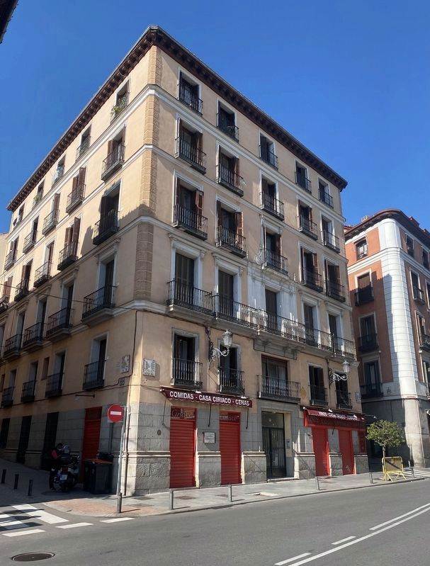
Location. 40° 24.919′ N, 3° 42.738′ W. Marker is in Madrid. It is in Palacio. Marker is on Calle Mayor, on the right when traveling west. Touch for map. Marker is at or near this postal address: Calle de San Nicolás 1, Madrid 28013, Spain. Touch for directions.
Other nearby markers. At least 8 other markers are within walking distance of this marker. Valle-Inclán (a few steps from this marker); La Primera Iglesia de Santa Maria / First Church of Santa Maria (within shouting distance of this marker); Juan Escobedo (within shouting distance of this marker); Doña Mariana de Austria (within shouting distance of this marker); Ana de Mendoza y la Cerda (within shouting distance of this marker); Carlos Lezcano (about 150 meters away, measured in a direct line); La Iglesia Parroquial de San Salvador / The San Salvador Parrochial Church (about 150 meters away); Enrique IV (about 180 meters away). Touch for a list and map of all markers in Madrid.
Also see . . . Arco de Santa Maria (Madrid) (Wikipedia, in Spanish).
Overview (in translation): The Arch or Puerta de Santa María (called Puerta de la Mezquita or Puerta de la Almudena in Muslim times) was one of the three accesses that the Islamic wall of the Spanish city of Madrid had. It was built in the second half of the 9th century, when the Andalusian fortress of Mayrit was founded, in the final section of the current Calle Mayor, near the Palacio de los Consejos.(Submitted on February 19, 2023.)
Credits. This page was last revised on February 19, 2023. It was originally submitted on February 19, 2023, by Andrew Ruppenstein of Lamorinda, California. This page has been viewed 94 times since then and 7 times this year. Photos: 1, 2. submitted on February 19, 2023, by Andrew Ruppenstein of Lamorinda, California.

