Bob Stump VA Medical Center in Prescott in Yavapai County, Arizona — The American Mountains (Southwest)
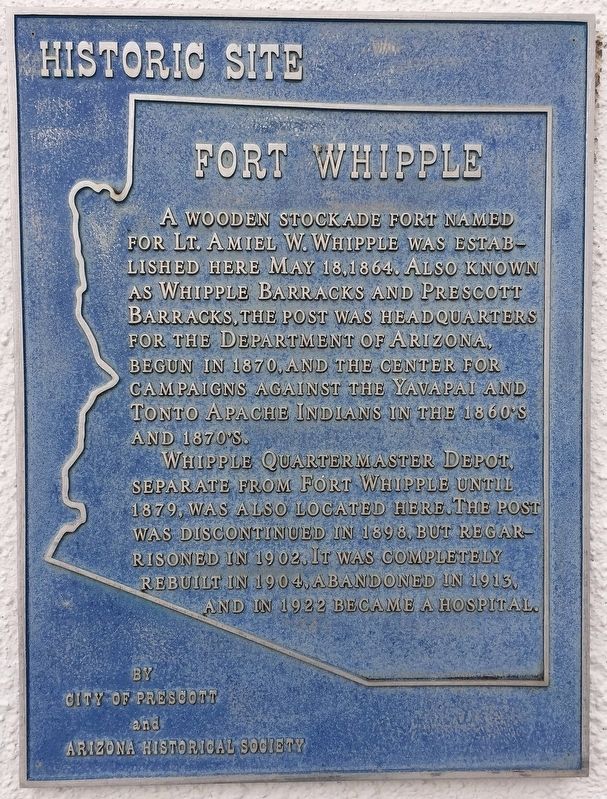
Fort Whipple
A wooden stockade fort named for Lt. Amiel W. Whipple was established here May 18, 1864. Also known as Whipple Barracks and Prescott Barracks. The post was headquarters for the Department of Arizona. Begun in 1870, and the center for campaigns against the Yavapai and Tonto Apache Indians in the 1860's and 1870's. Whipple Quartermaster Depot, separate from Fort Whipple until 1879, was also located here. The post was discontinued in 1898, but regarrisoned in 1902. It was completely rebuilt in 1904, abandoned in 1913, and in 1922 became a hospital.
Erected by City of Prescott and Arizona Historical Society.
Topics. This historical marker is listed in this topic list: Forts and Castles. A significant historical date for this entry is May 18, 1864.
Location. 34° 33.265′ N, 112° 27.149′ W. Marker is in Prescott, Arizona, in Yavapai County. It is in Bob Stump VA Medical Center. Marker can be reached from Route 89 south of Cultural Center Road, on the left when traveling south. The marker is located in front of the main hospital, Building 107. Touch for map. Marker is at or near this postal address: 500 State Highway 89N, Prescott AZ 86313, United States of America. Touch for directions.
Other nearby markers. At least 8 other markers are within 2 miles of this marker, measured as the crow flies. John Towhey (approx. 0.2 miles away); Citizens Cemetery (approx. ¾ mile away); VFW Bucky O'Neill Post No. 541 (approx. 0.8 miles away); Site of the O'Neill/Munds House (approx. 0.9 miles away); Grace M. Sparkes (approx. 0.9 miles away); Prescott National Guard Armory (approx. 0.9 miles away); City Park and Ballfield (approx. one mile away); Sacred Heart Catholic Church and Rectory (approx. 1.1 miles away). Touch for a list and map of all markers in Prescott.
Credits. This page was last revised on February 25, 2023. It was originally submitted on February 19, 2023, by Worcester Bong of Prescott Valley, Arizona. This page has been viewed 126 times since then and 18 times this year. Photo 1. submitted on February 19, 2023, by Worcester Bong of Prescott Valley, Arizona. • J. Makali Bruton was the editor who published this page.
Editor’s want-list for this marker. A wide view photo of the marker and the surrounding area together in context. • Can you help?
