Delaware City in New Castle County, Delaware — The American Northeast (Mid-Atlantic)
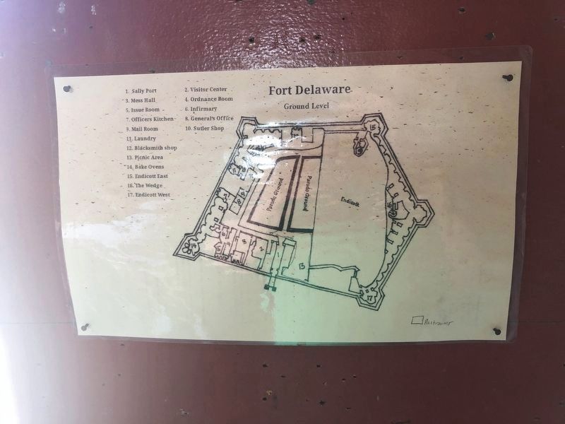
Sally Port
Main entrance to the fort.
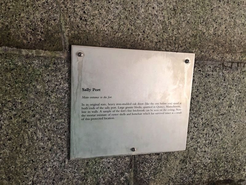
In its original state, heavy iron-studded oak doors (like the one before you) stood at both ends of the sally port. Large granite blocks, quarried in Quincy, Massachusetts, line its walls. A sample of the fort’s fine brickwork can be seen on the ceiling. Note the mortar mixture of oyster shells and horsehair which has survived intact as a result of this protected location.
Topics. This historical marker is listed in this topic list: Forts and Castles.
Location. 39° 35.368′ N, 75° 34.064′ W. Marker is in Delaware City, Delaware, in New Castle County. It can be reached from Park pathway. Marker is located on Pea Patch Island, at the main entrance to Fort Delaware. Touch for map. Marker is in this post office area: Delaware City DE 19706, United States of America. Touch for directions.

Regionally, this marker is in Greater Wilmington and in Greater Philadelphia. It is also in the American Mid-Atlantic, on the Delmarva Peninsula, and on the Eastern Seaboard. Globally, it is in the North Atlantic Region, North America, the Western Hemisphere, the Western World, and
this page online
Other nearby markers. At least 8 other markers are within 2 miles of this marker, measured as the crow flies: In Memory of W. Emerson Wilson (here, next to this marker); Power Station (within shouting distance of this marker); Gun Embrasure (within shouting distance of this marker); Pea Patch Island (approx. 0.3 miles away); Pea Patch Island Heronry (approx. 1.2 miles away in New Jersey); Welcome (approx. 1.2 miles away in New Jersey); Heronry on Pea Patch Island (approx. 1.2 miles away); Coastal Defense Forts (approx. 1.2 miles away). Touch for a list and map of all markers in Delaware City.
Another marker is no longer nearby. Batteries Hentig and Dodd (was about 300 feet away, measured in a direct line but has been confirmed missing).
Also see . . . Fort Delaware State Park. (Submitted on August 15, 2009, by Bill Coughlin of Woodland Park, New Jersey.)
Photographed by Bill Coughlin, August 13, 2009
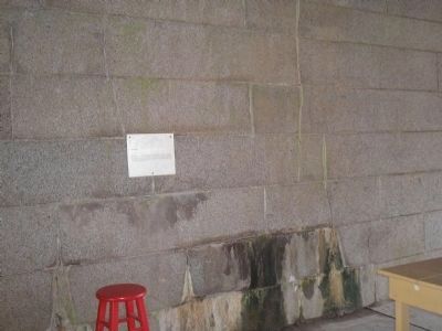
2. Marker at Fort Delaware
Photographed by Bill Coughlin, August 13, 2009
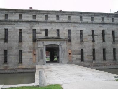
3. Fort Delaware Sally Port
This sally port is the main entrance to Fort Delaware.
Photographed by Bill Coughlin, August 13, 2009
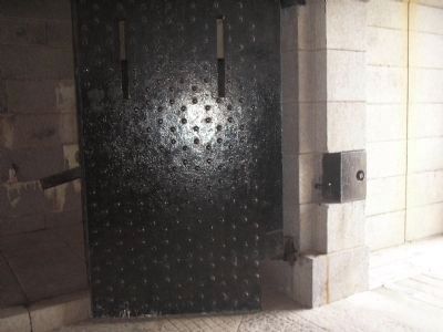
4. Door to the Sally Port
The heavy iron-studded oak doors mentioned on the marker can be seen in this photo.
Credits. This page was last revised on February 3, 2025. It was originally submitted on August 15, 2009, by Bill Coughlin of Woodland Park, New Jersey. This page has been viewed 1,446 times since then and 40 times this year. Photos: 1. submitted on June 6, 2021, by Devry Becker Jones of Washington, District of Columbia. 2, 3, 4. submitted on August 15, 2009, by Bill Coughlin of Woodland Park, New Jersey. 5. submitted on June 6, 2021, by Devry Becker Jones of Washington, District of Columbia.
