Spotsylvania Courthouse in Spotsylvania County, Virginia — The American South (Mid-Atlantic)
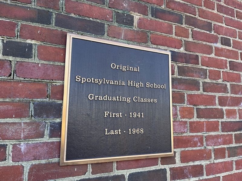
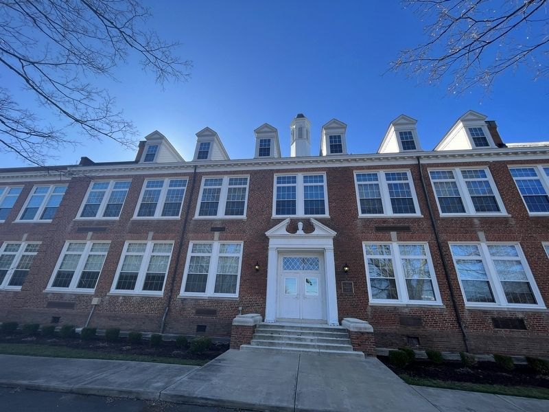
Original Spotsylvania High School
Photographed by Devry Becker Jones (CC0), February 18, 2023
1. Original Spotsylvania High School Marker
Spotsylvania High School
Graduating Classes
First - 1941
Last - 1968
Topics. This historical marker is listed in this topic list: Education. A significant historical year for this entry is 1941.
Location. 38° 11.781′ N, 77° 35.249′ W. Marker is in Spotsylvania Courthouse, Virginia, in Spotsylvania County. It is on Courthouse Road (Virginia Route 208) south of American Legion Drive, on the right when traveling south. Touch for map. Marker is at or near this postal address: 8800 Courthouse Rd, Spotsylvania VA 22553, United States of America. Touch for directions.

Regionally, this marker is in the Washington Metropolitan Area, in Northern Virginia, and in the Piedmont. It is also in the American South, specifically in the Upper South, in the Mid-Atlantic, and on the Eastern Seaboard. Globally, it is in the North Atlantic Region, North America, the Western Hemisphere, the Western World, and the Anglosphere. Historically, it finds itself in what was once the territory of the Mississippian Culture, one of the original Thirteen Colonies, one of the Confederate States of America, and the Antebellum
this page online
Other nearby markers. At least 8 other markers are within walking distance of this marker: Forever young, Forever in our hearts (within shouting distance of this marker); The Good Hope Colored School (about 400 feet away, measured in a direct line); Education in Spotsylvania County (about 400 feet away); Stubbs School (about 400 feet away); Slave Entrance (approx. 0.2 miles away); Pastor's Office (approx. 0.2 miles away); Zion Methodist Church (approx. 0.2 miles away); Civil War Veterans at Rest in Zion's Cemetery (approx. 0.2 miles away). Touch for a list and map of all markers in Spotsylvania Courthouse.
Other markers no longer nearby. Slave Entrance (was approx. 0.2 miles away but has been replaced with another marker now near it); a different marker also named Pastor's Office (was approx. 0.2 miles away but has been replaced with another marker now near it); Civil War Veterans at rest in Zion's Cemetery (was approx. 0.2 miles away but has been replaced with another marker now near it).
Credits. This page was last revised on February 20, 2023. It was originally submitted on February 20, 2023, by Devry Becker Jones of Washington, District of Columbia. This page has been viewed 546 times since then and 47 times this year. Photos: 1, 2. submitted on February 20, 2023, by Devry Becker Jones of Washington, District of Columbia.
