Spotsylvania Courthouse in Spotsylvania County, Virginia — The American South (Mid-Atlantic)
Turning the Pages of Time
Spotsylvania Court House National Historic District
— Spotsylvania County Museum —
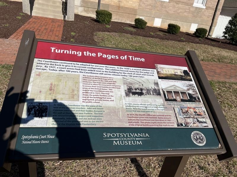
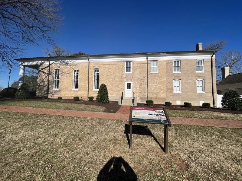
The Courthouse continued to be adapted for use over the years. In the 1920's a second addition added to the back to give its current configuration. This addition housed rooms for the judge and jury. By 1927, a court annex had been added next to the building for the clerk to court and records storage. Today, after 180 years, the Courthouse still serves the citizens today–180 years later.
[Captions:]
The Sanborn Map Company was a publisher of detailed maps of U.S. cities and towns in the 19th and 20th centuries. The maps were originally created to allow fire insurance companies to assess their total liability in urbanized areas of the United States. This map of the Courthouse area was produced in 1927. The map shows the public facilities at the rear of the building that were segregated, private homes, and the public school.
In 1935, the Courthouse was the scene of the trial of the coleman murders. John and Jennie Coleman were shot and their bodies dumped in the well at their home near Partlow. The trial was sensationalized in papers and magazines. Eventually, John Shell and Joe Jackson were convicted of the crime and sent to the electric chair at the Virginia State Penitentiary.
In 1935, county officials gathered for a photo celebrating the enlargement of the Courthouse Annex. Note the record storage in the right corner that was used until 2012.
In 2019, the Sheriff's Office was removed and the Courthouse green was restored. Some accounts indicate the Courthouse was torn down in 1901 and rebuilt. This photo (right) shows the red rick of the original building putting that myth to rest.
The Courthouse and grounds circa 1935.
In 1964, a Sheriff's Office was added to the right of the building.
Erected by Spotsylvania County Museum; County of Spotsylvania, Virginia.
Topics. This historical marker is listed in these topic lists: Government & Politics • Law Enforcement. A significant historical year for this entry is 1927.
Location. 38° 12.066′ N, 77° 35.318′ W. Marker is in Spotsylvania Courthouse, Virginia, in Spotsylvania County. Marker is on American Legion Drive (County Road 631) 0.1 miles north of Courthouse Road (State Route 208), on the left when traveling north. Touch for map. Marker is at or near this postal address: 9103 Judicial Center Ln, Spotsylvania VA 22553, United States of America. Touch for directions.
Other nearby markers. At least 8 other markers are within walking distance of this marker. Fisticuffs on the Courthouse Lawn and other Political Drama (a few steps from this marker); Across the Years & $6,700 (within shouting distance of this marker); A Case of Negligence (within shouting distance of this marker); Modification, Decay & Preservation
Credits. This page was last revised on February 20, 2023. It was originally submitted on February 20, 2023, by Devry Becker Jones of Washington, District of Columbia. This page has been viewed 56 times since then and 16 times this year. Photos: 1, 2. submitted on February 20, 2023, by Devry Becker Jones of Washington, District of Columbia.

