Anastasia in St. Augustine in St. Johns County, Florida — The American South (South Atlantic)
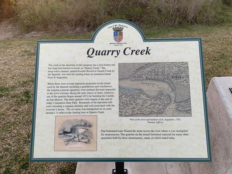
Quarry Creek
While there were several important properties on the island used by the Spanish including a guardhouse and watchtower, the coquina canteras (quarries) were perhaps the most impactful in the town's history. Being the only source of stone, intensive use of the quarries began around 1671 for building the Castillo de San Marcos. The main quarries were largely in the area of today’s Anastasia State Park. Remnants of the operation still exist including a coquina chimney and well associated with the overseer's house. The cut stone was transported on ox-carts around 1 1/2 miles to the landing here at Quarry Creek.
Flat-bottomed boats floated the stone across the river where it was stockpiled for stonemasons. The quarries on the island furnish material for many other structures built by the stonemasons, many of which stand today.
Erected by City of St. Augustine.
Topics. This historical marker is listed in these topic lists: Industry & Commerce • Settlements & Settlers • Waterways & Vessels. A significant historical year for this entry is 1671.
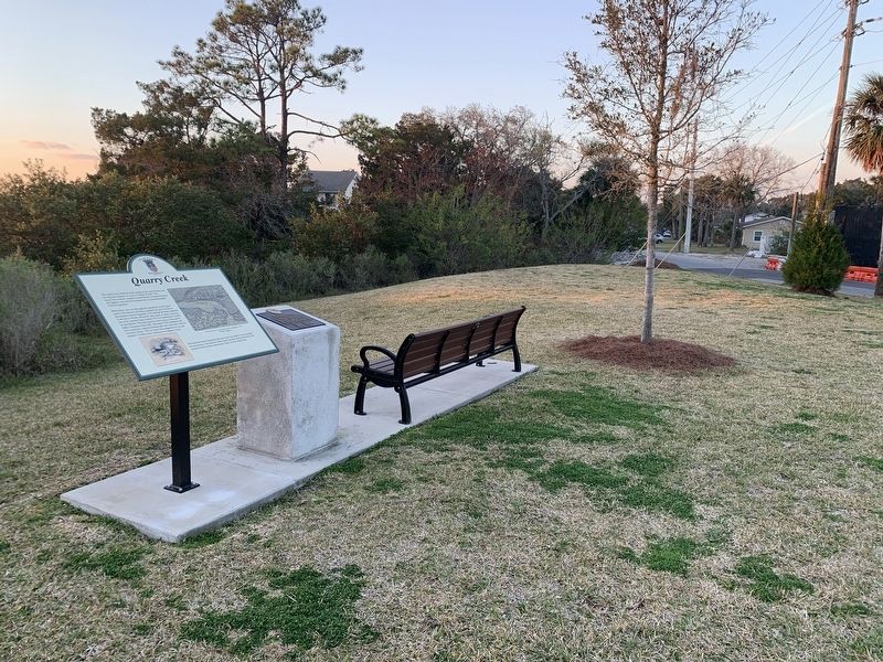
Location. 29° 52.976′ N, 81° 17.753′ W. Marker is in St. Augustine, Florida, in St. Johns County. It is in Anastasia. Marker is on Coquina Avenue just north of Arricola Avenue, on the left when traveling south. Marker is located in Coquina Park. Touch for map. Marker is at or near this postal address: 91 Coquina Ave, Saint Augustine FL 32080, United States of America. Touch for directions.
Other nearby markers. At least 8 other markers are within walking distance of this marker. Davis Shores (a few steps from this marker); Meldrim Cottage (within shouting distance of this marker); St. Augustine on Anastasia Island (approx. 0.3 miles away); St. Augustine Alligator Farm (approx. 0.4 miles away); a different marker also named St. Augustine Alligator Farm (approx. 0.4 miles away); 1872 South Privy (approx. half a mile away); 1872 North Privy (approx. half a mile away); 1886 Well (approx. half a mile away). Touch for a list and map of all markers in St. Augustine.
Credits. This page was last revised on February 20, 2023. It was originally submitted on February 20, 2023, by Tim Fillmon of Webster, Florida. This page has been viewed 117 times since then and 45 times this year. Photos: 1, 2. submitted on February 20, 2023, by Tim Fillmon of Webster, Florida.

